BrettCulbert.com

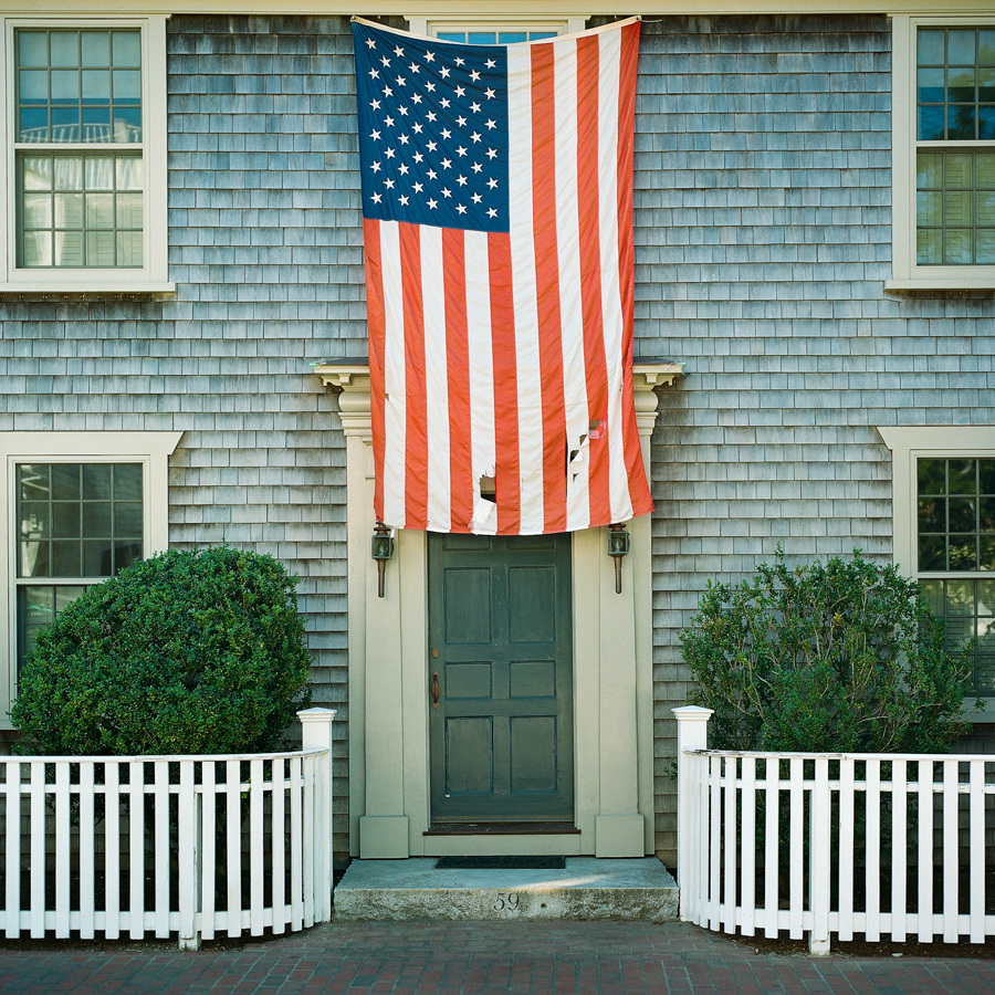
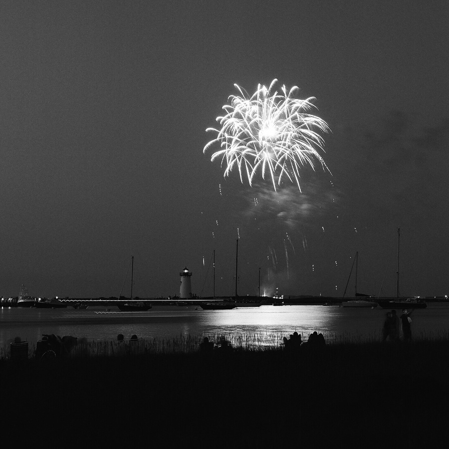
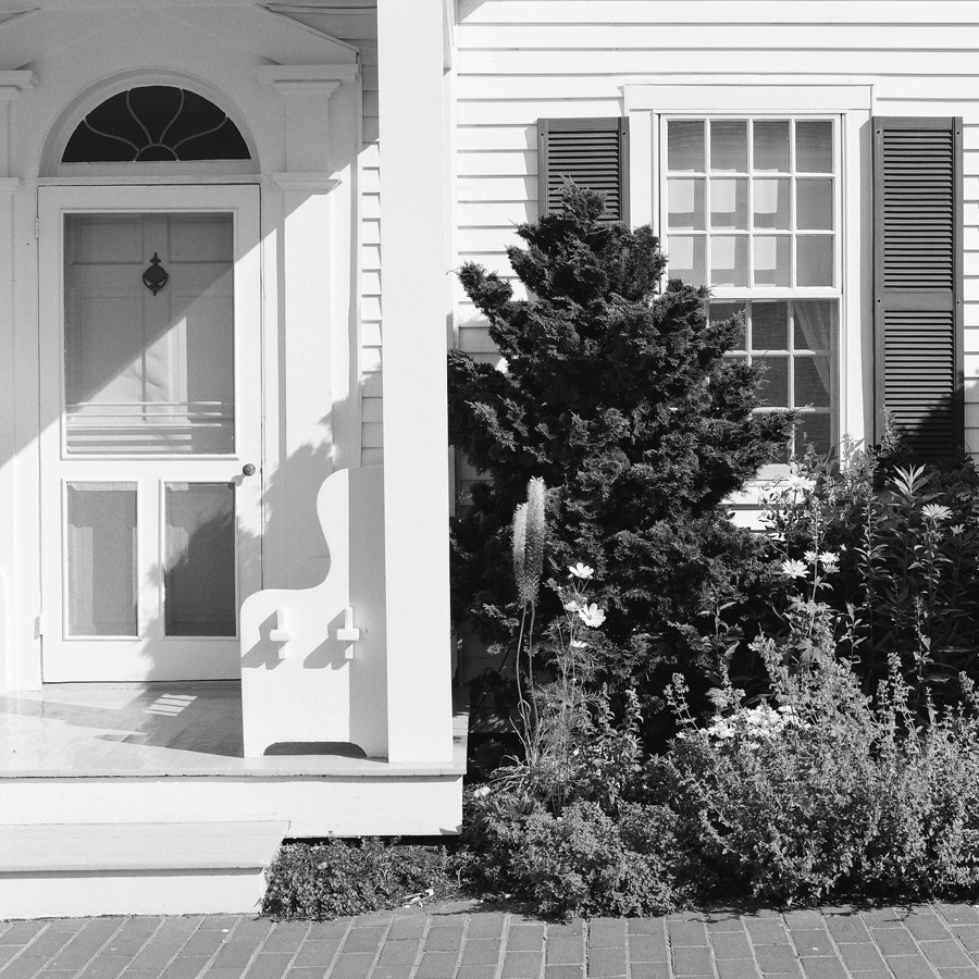
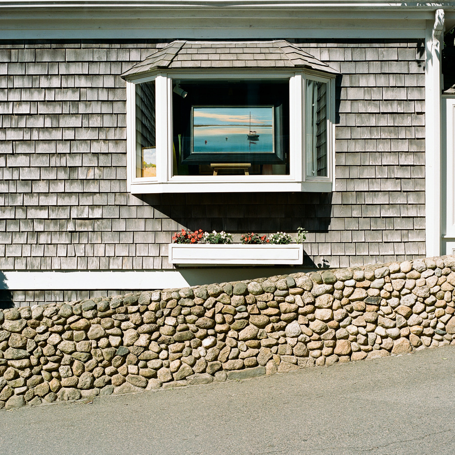
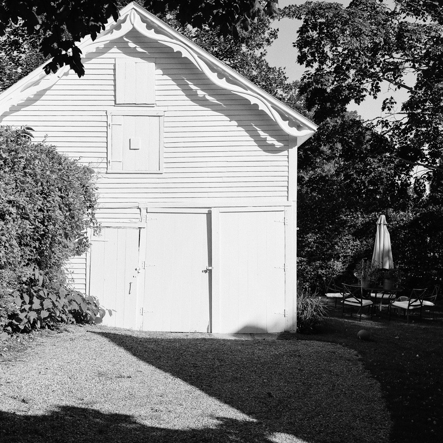
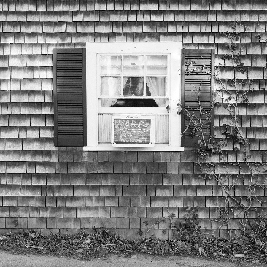
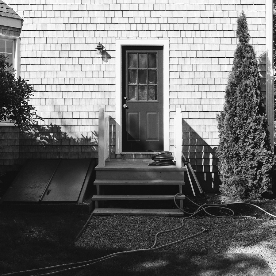
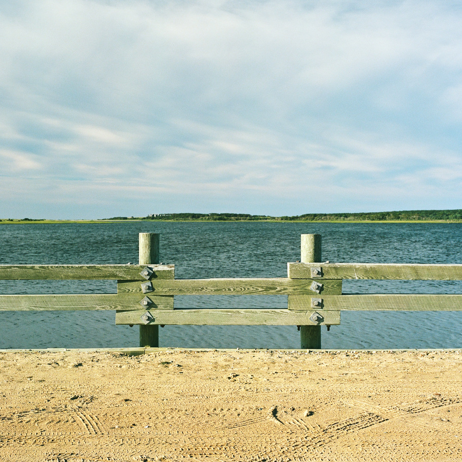
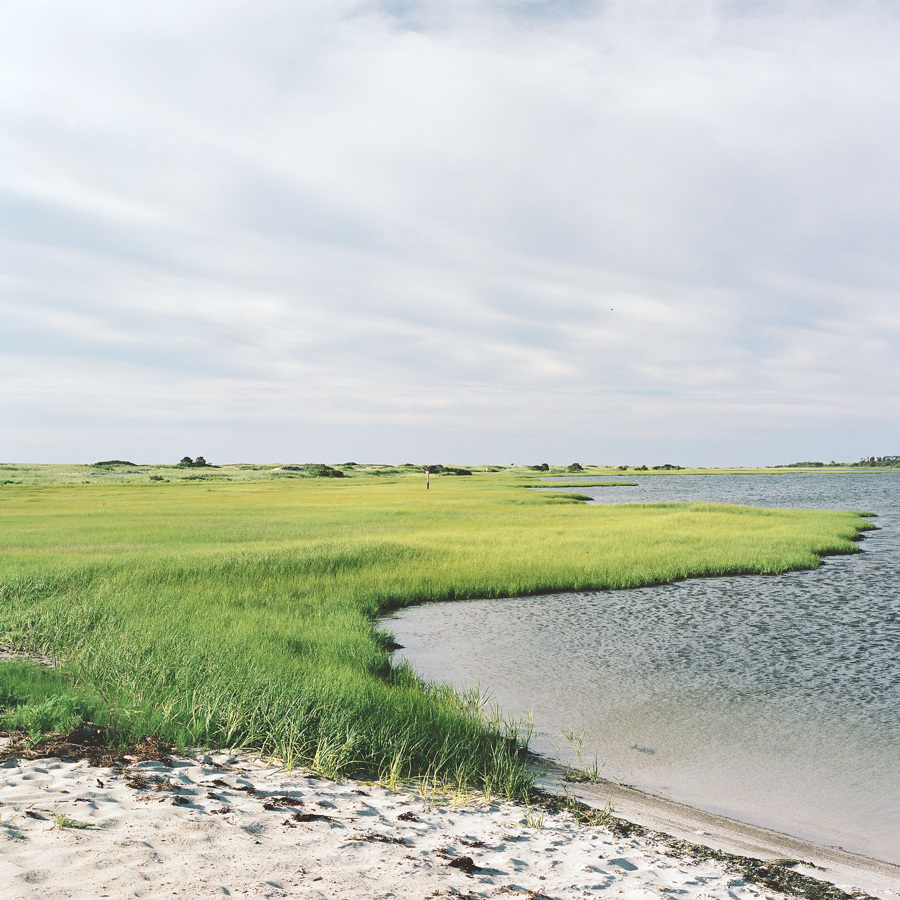
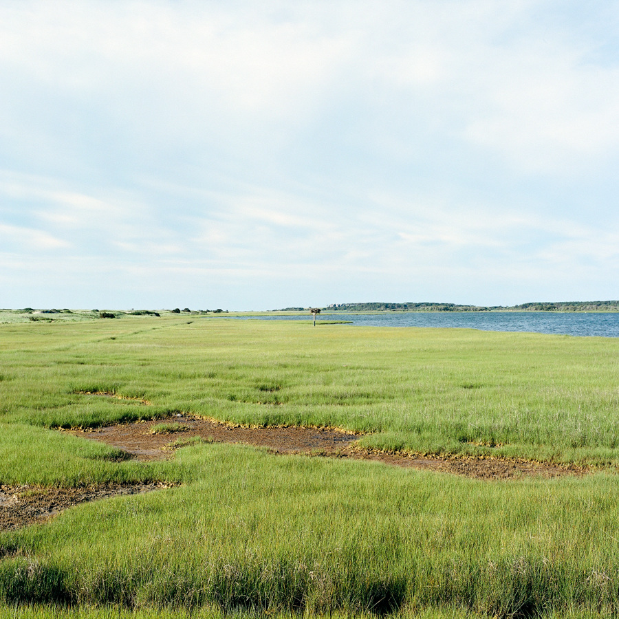
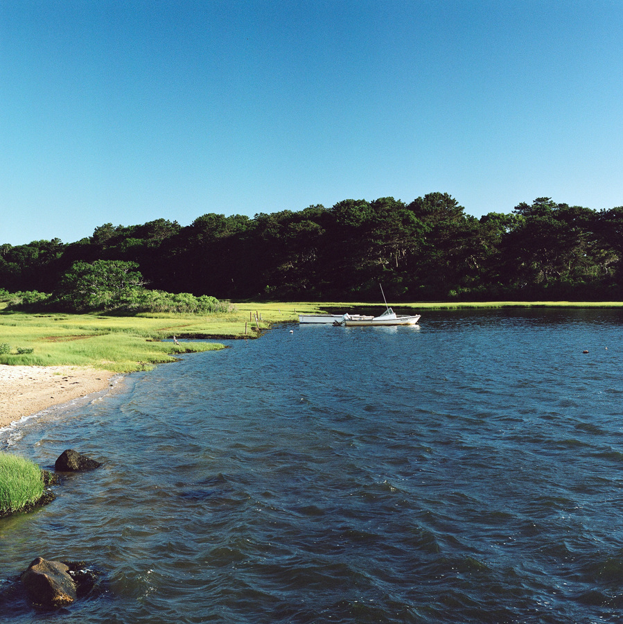
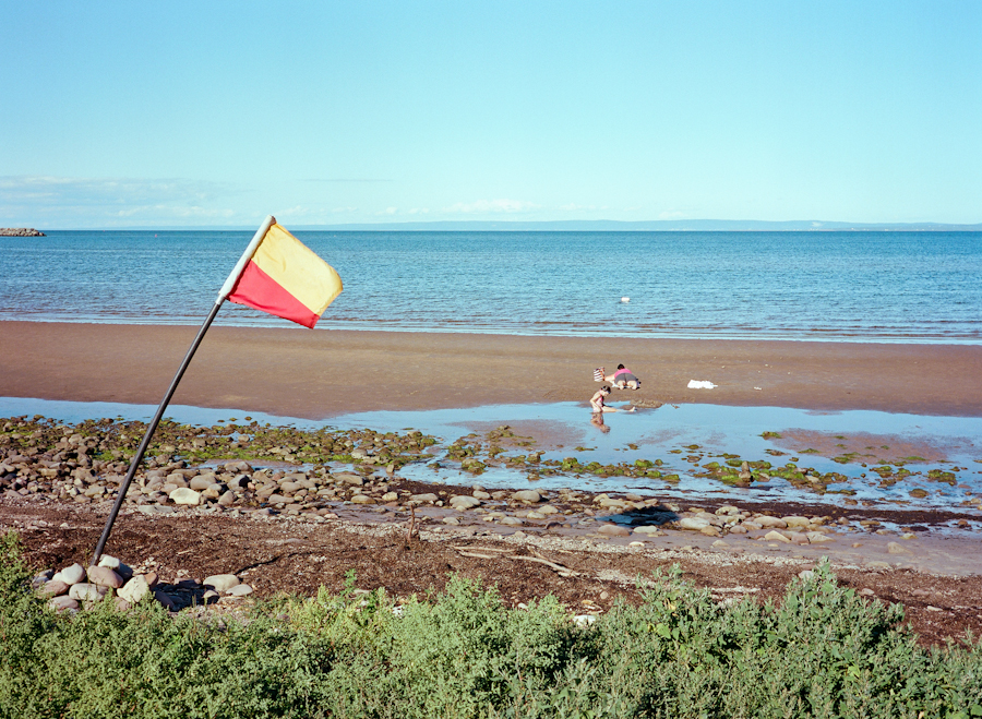
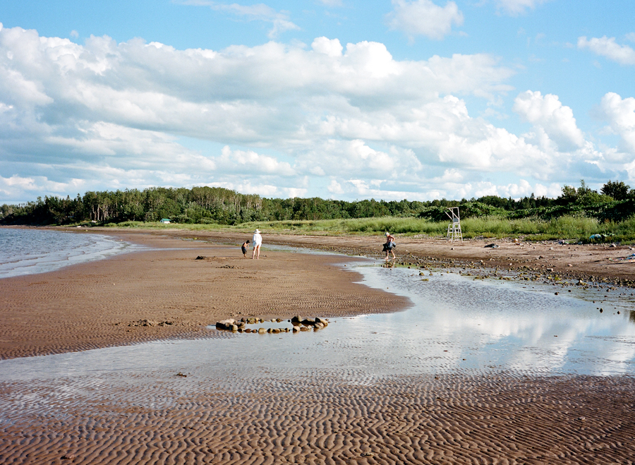
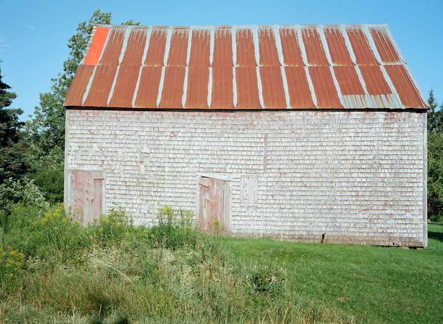
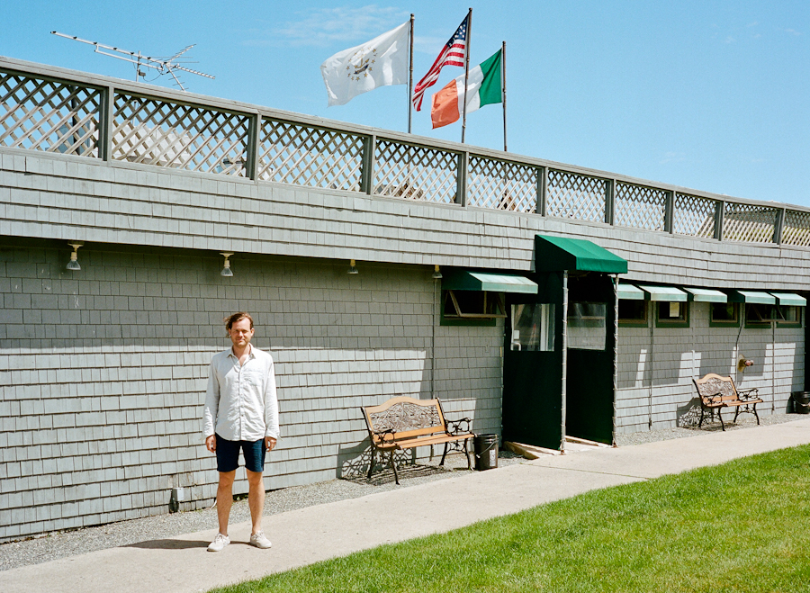
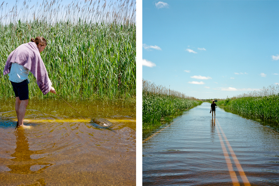
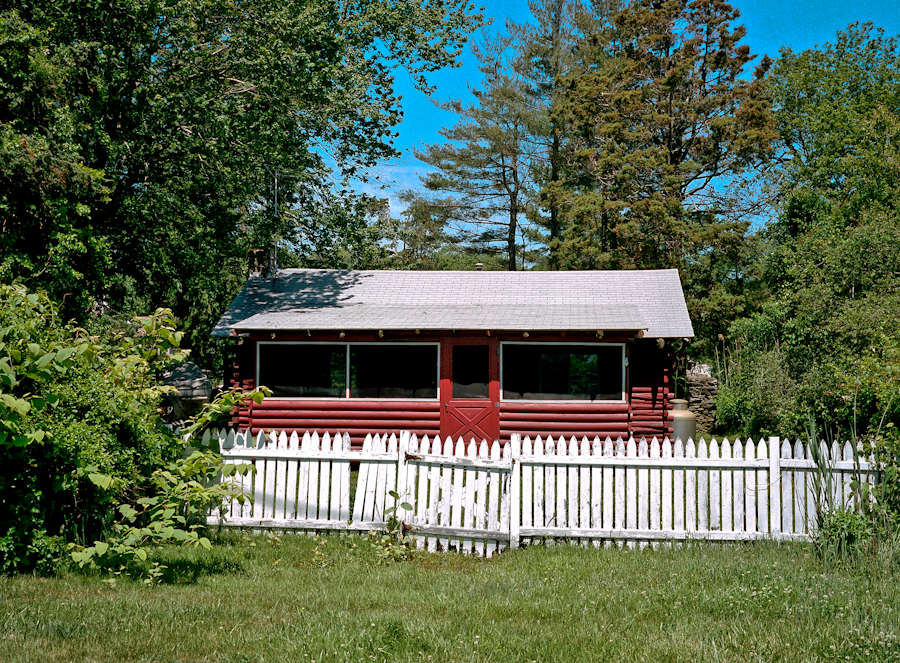
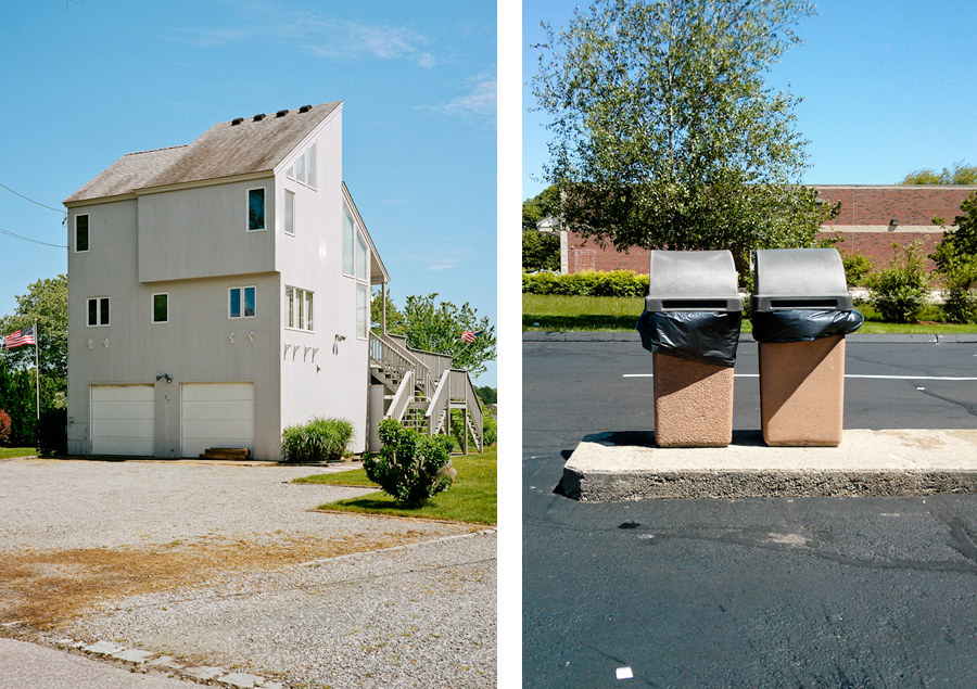
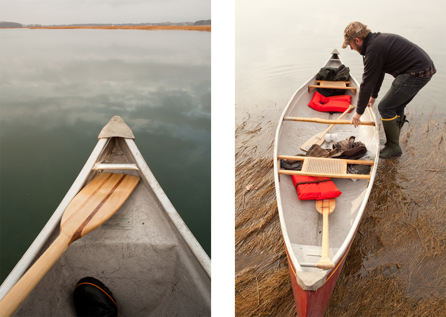
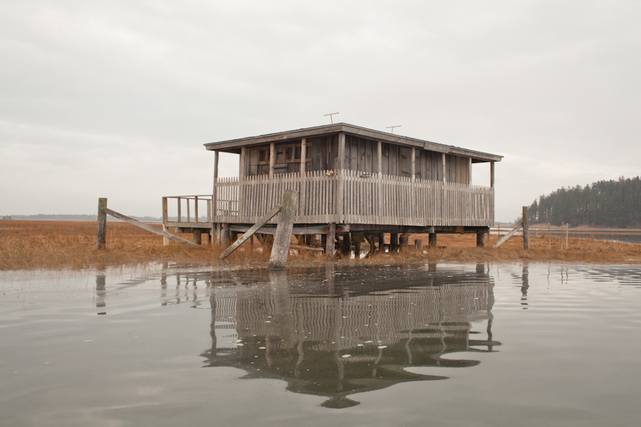
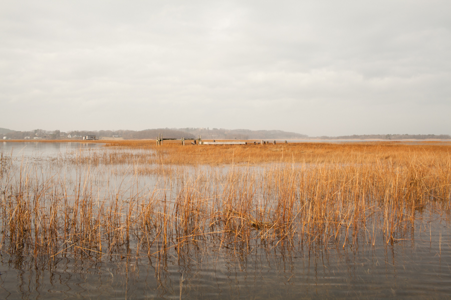
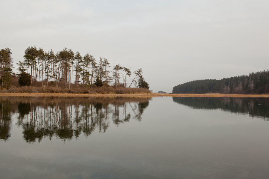
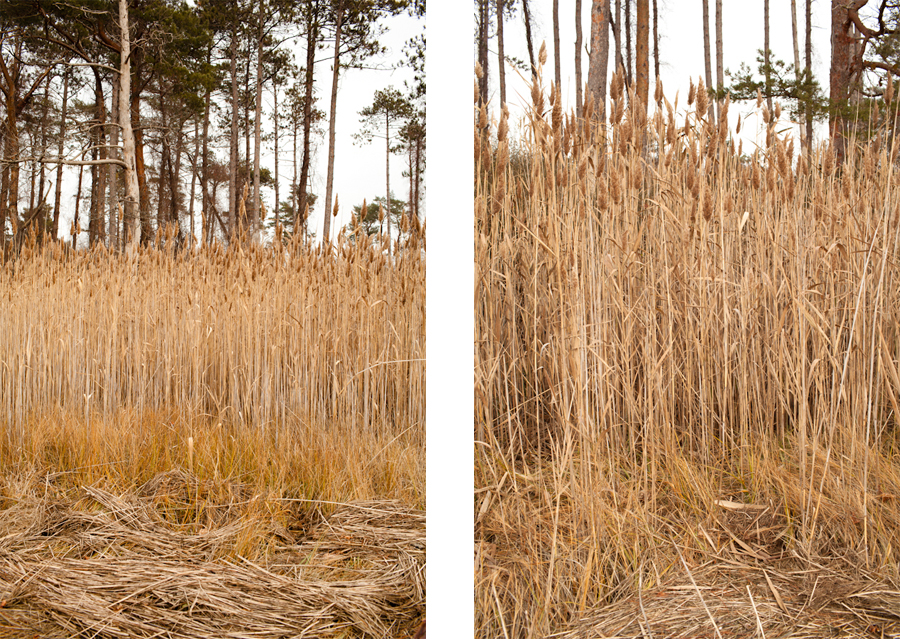
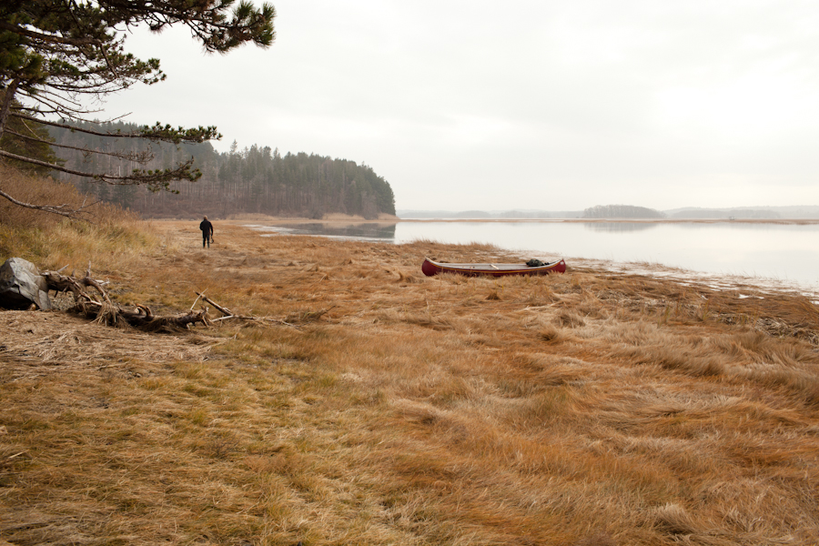
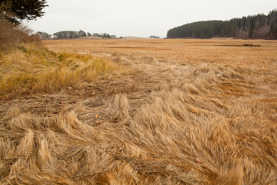
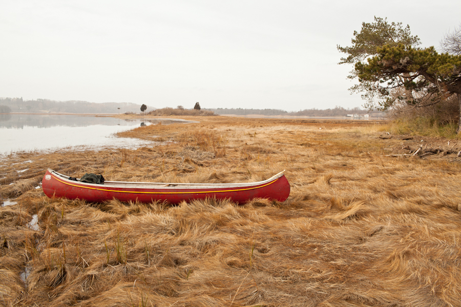
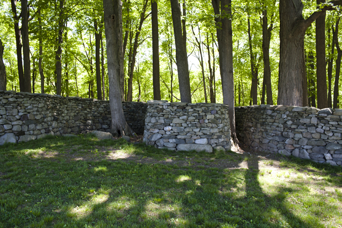
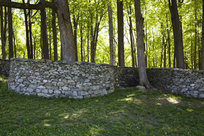
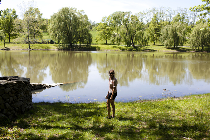
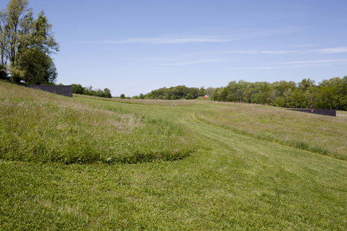
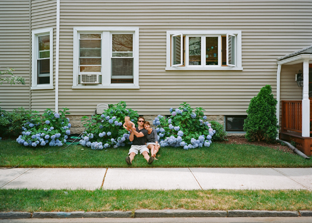
Edgartown, Martha's Vineyard

Edgartown, Martha's Vineyard

Edgartown, Martha's Vineyard

Edgartown, Martha's Vineyard

Edgartown, Martha's Vineyard

Edgartown, Martha's Vineyard

Edgartown, Martha's Vineyard

Edgartown, Martha's Vineyard

Edgartown, Martha's Vineyard

Edgartown, Martha's Vineyard

Edgartown, Martha's Vineyard

Edgartown, Martha's Vineyard

Edgartown, Martha's Vineyard

Edgartown, Martha's Vineyard

Edgartown, Martha's Vineyard

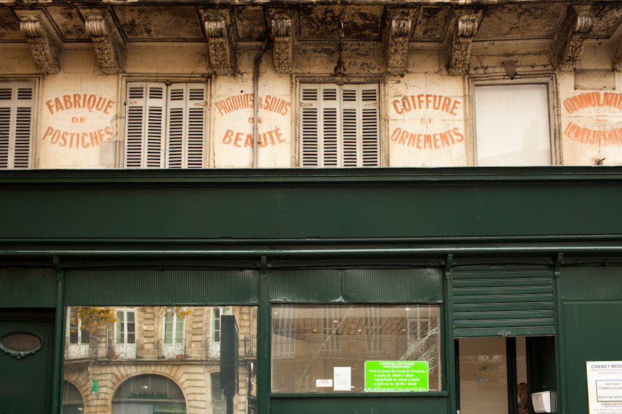
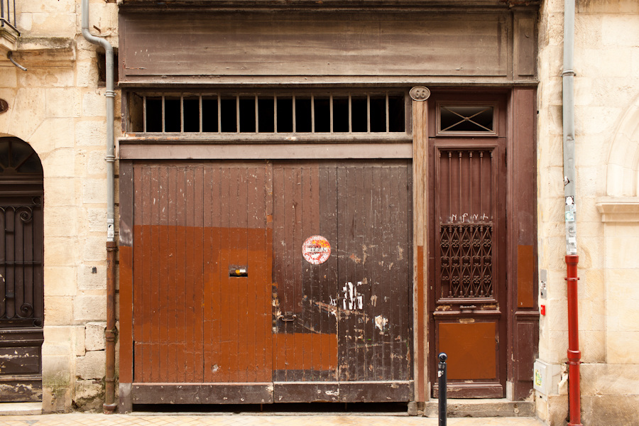
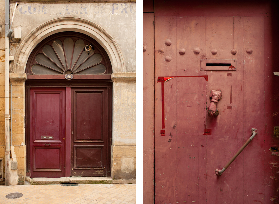
Bordeaux, France

Bordeaux, France

Bordeaux, France

Bordeaux, France

Bordeaux, France

Bordeaux, France

Bordeaux, France

Bordeaux, France

Bordeaux, France

Bordeaux, France

Bordeaux, France

Bordeaux, France

Bordeaux, France

Bordeaux, France

Bordeaux, France

Bordeaux, France

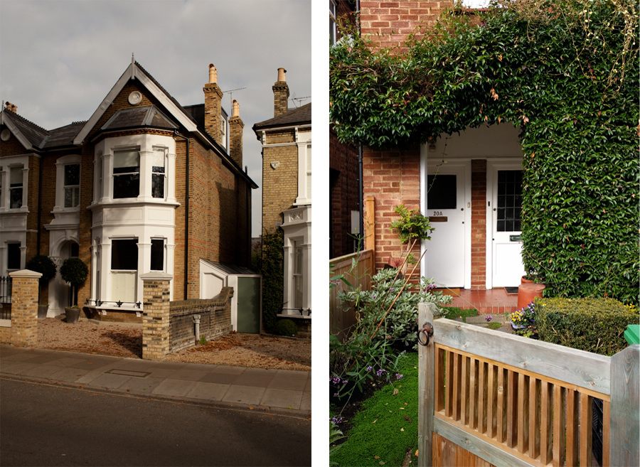
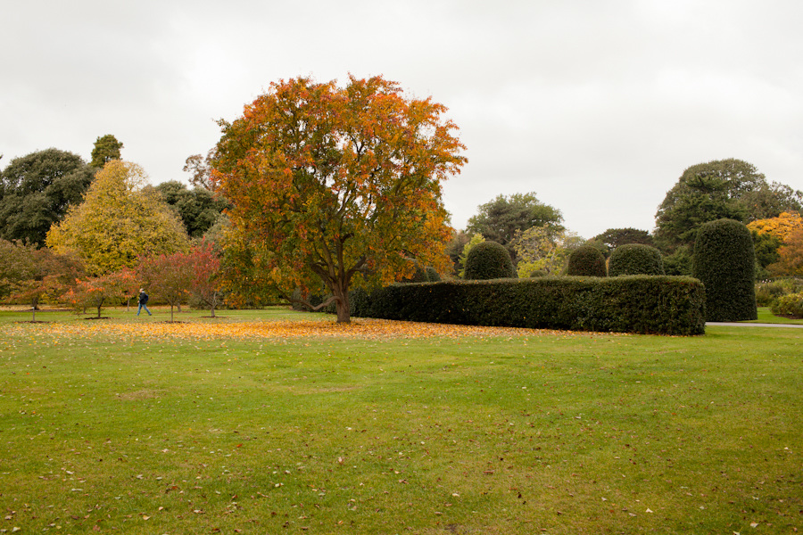
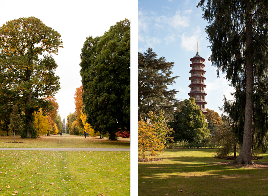
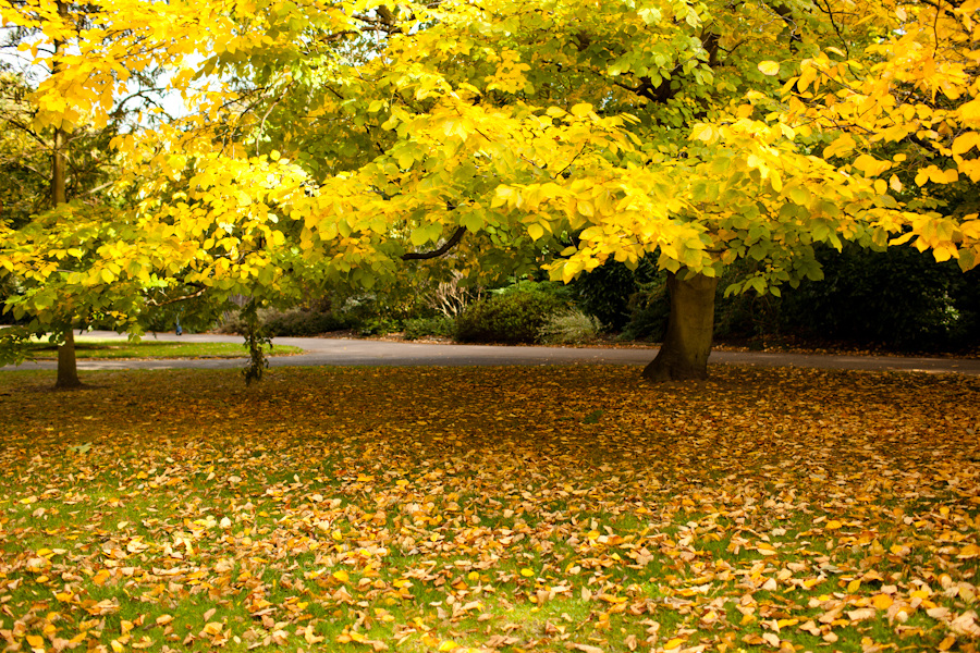
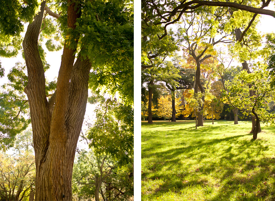
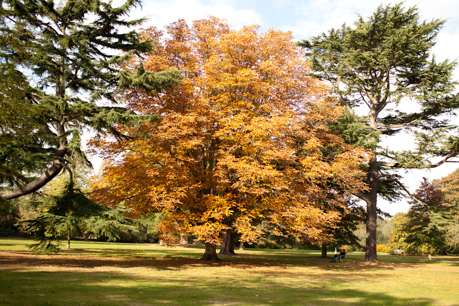
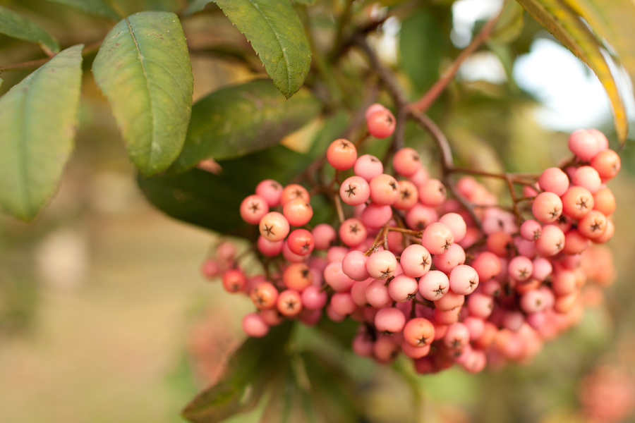
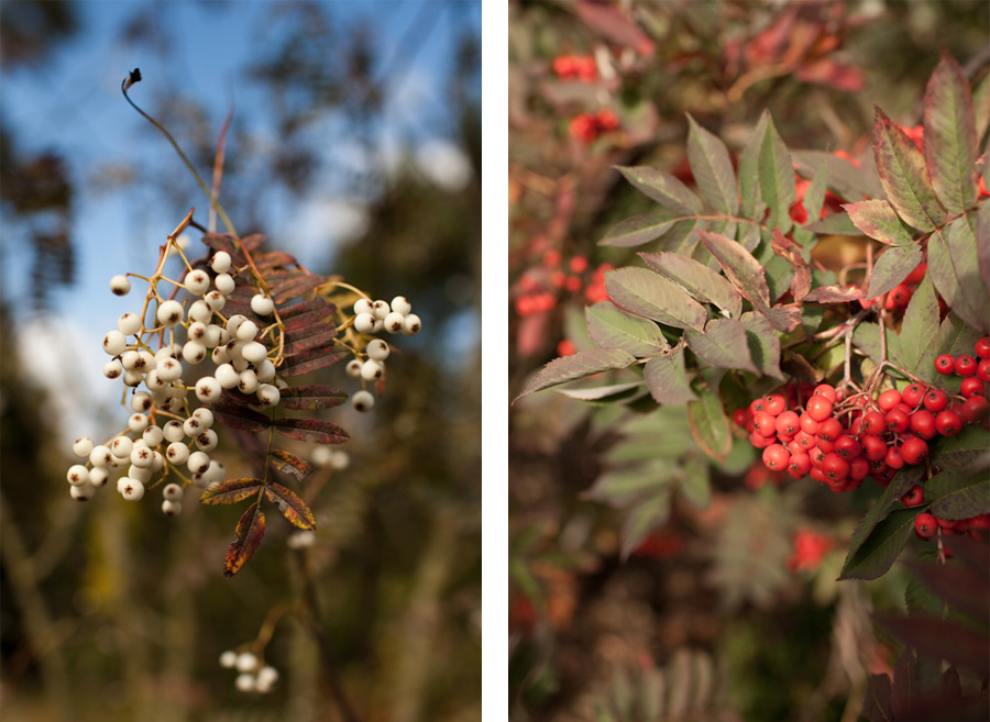
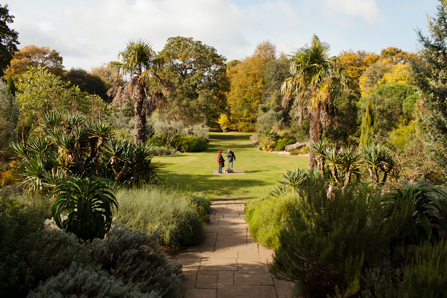
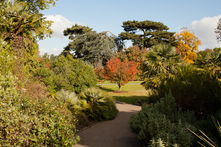
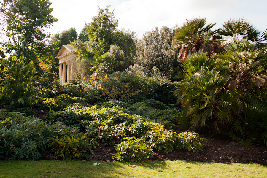
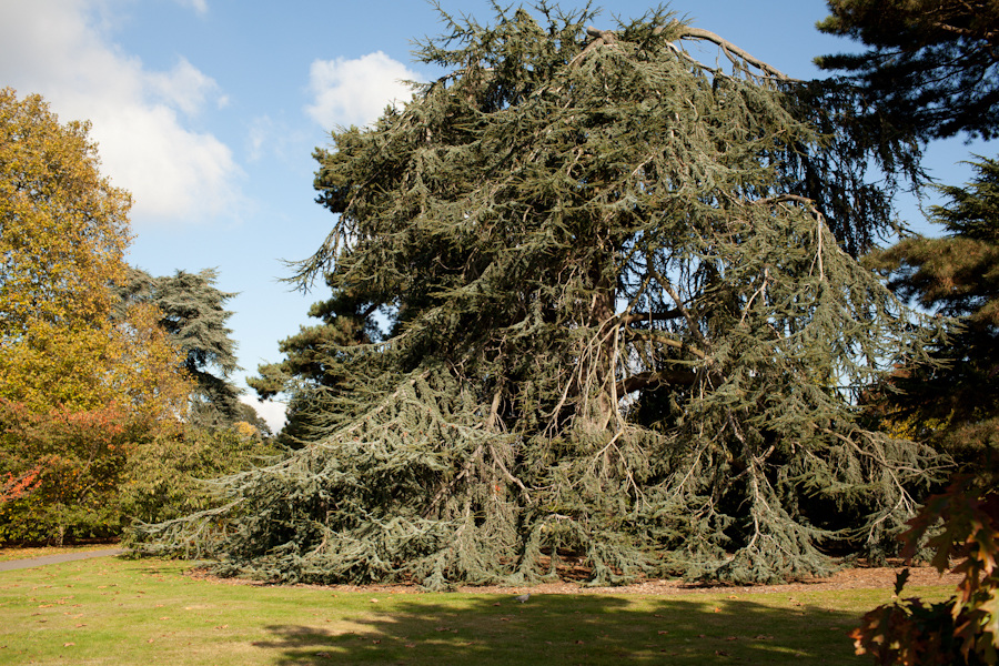
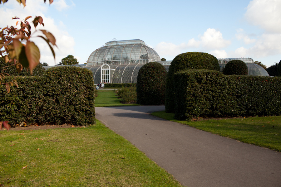
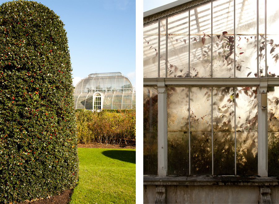
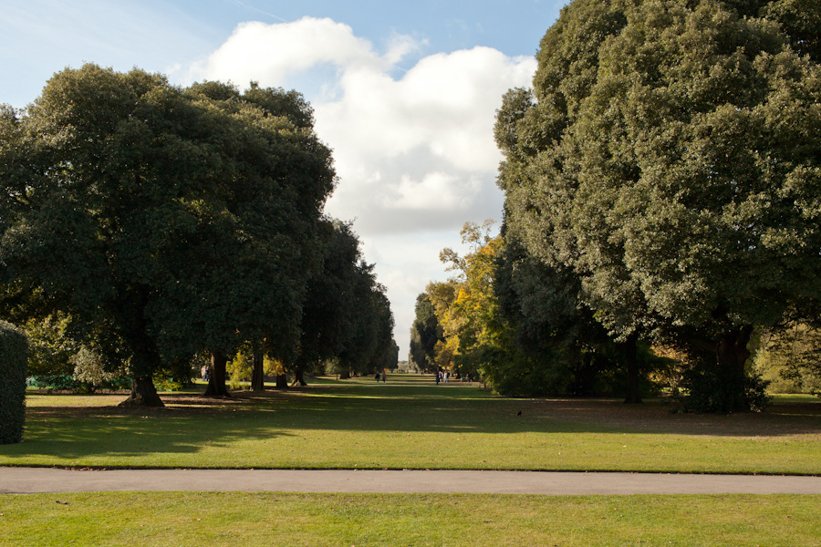
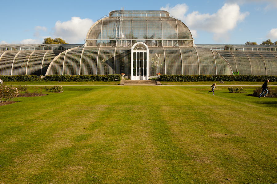
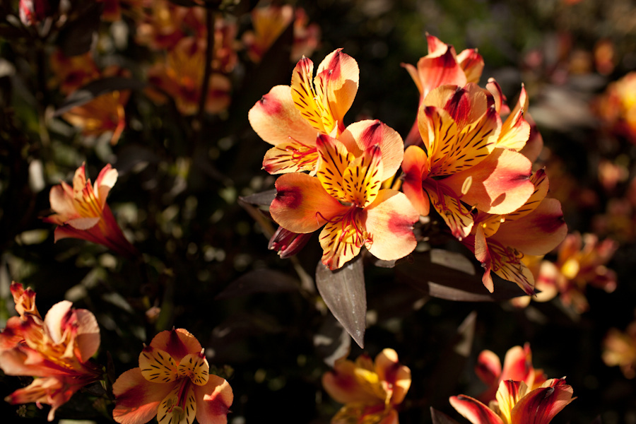
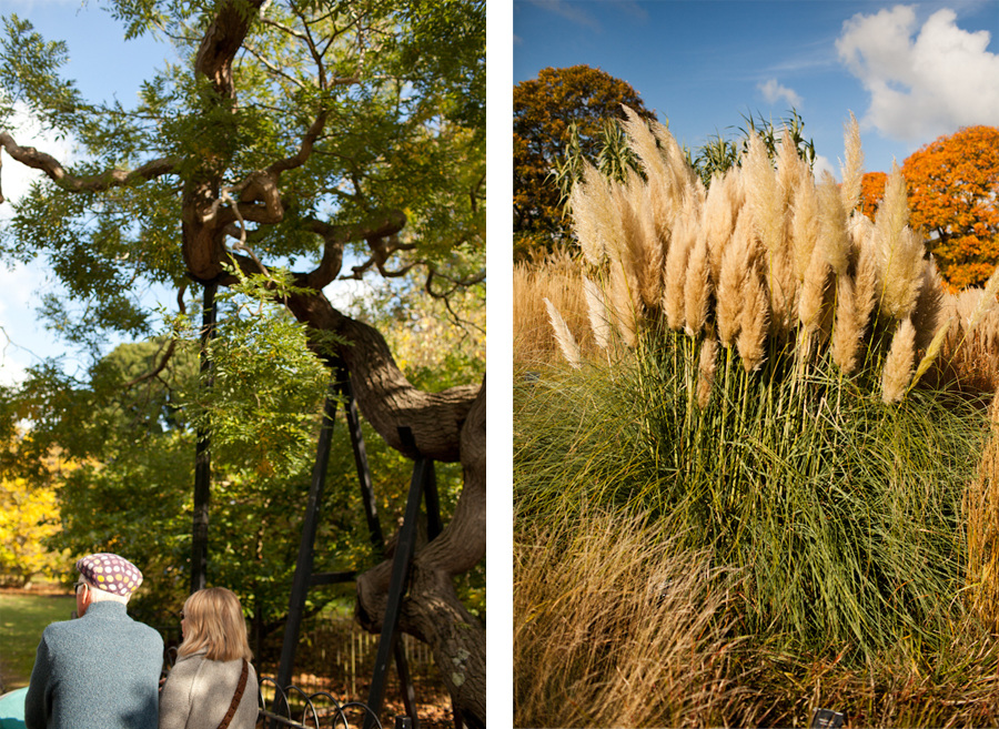
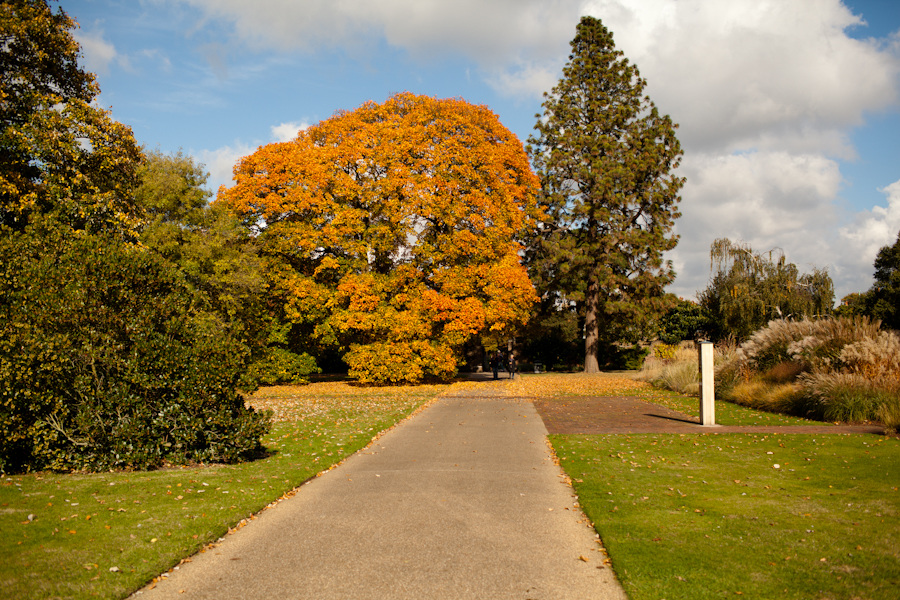
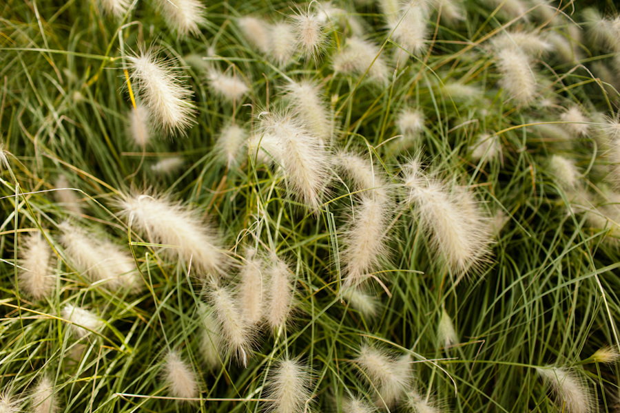
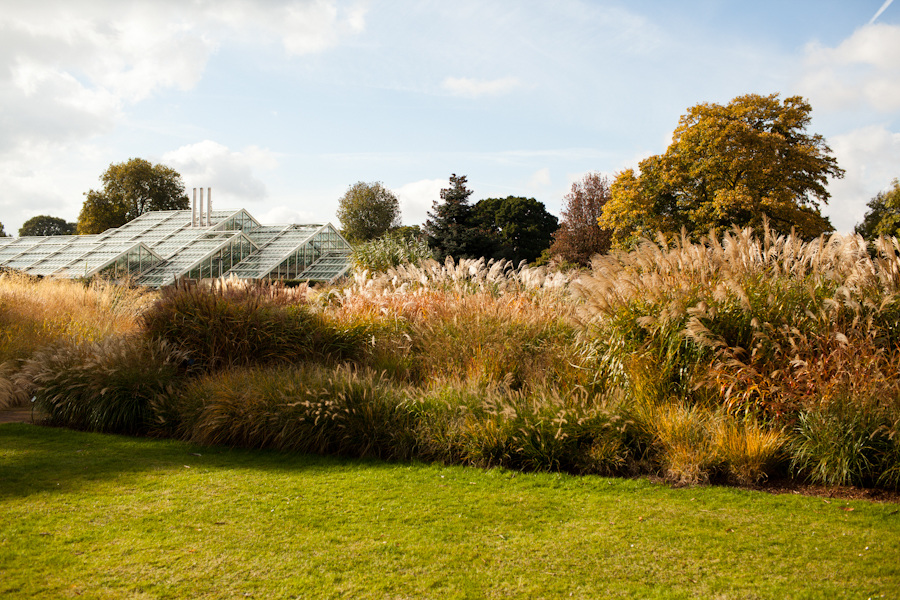
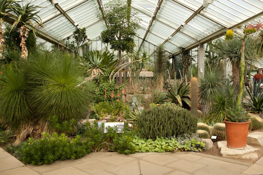
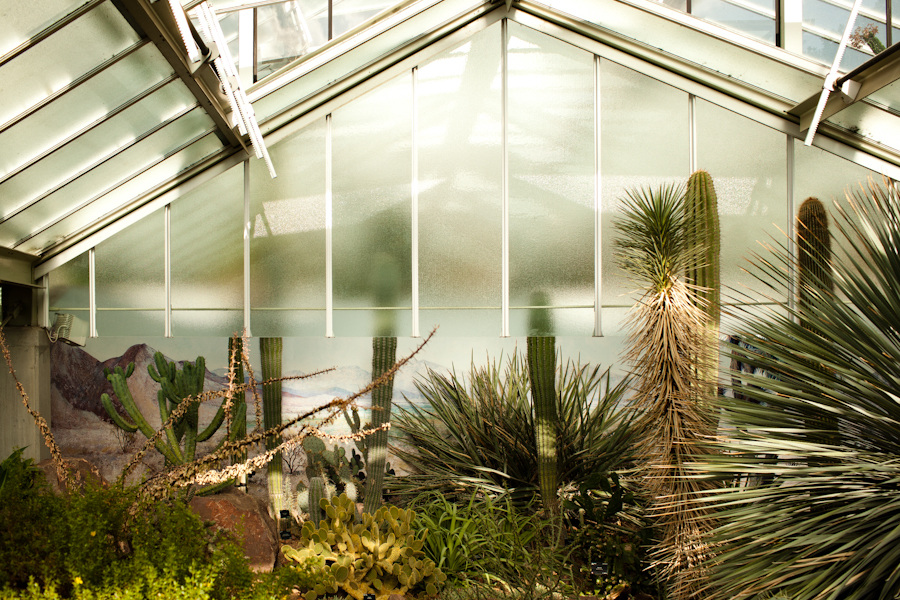
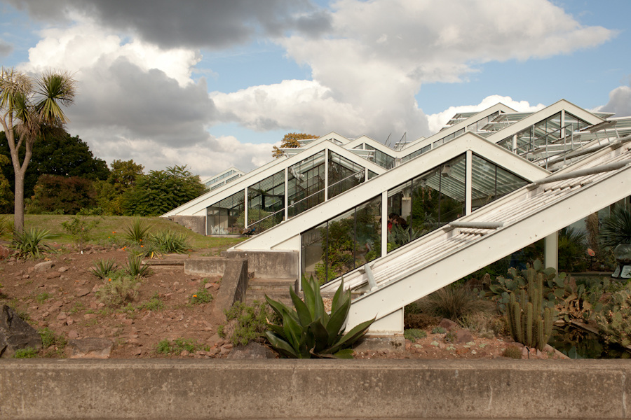
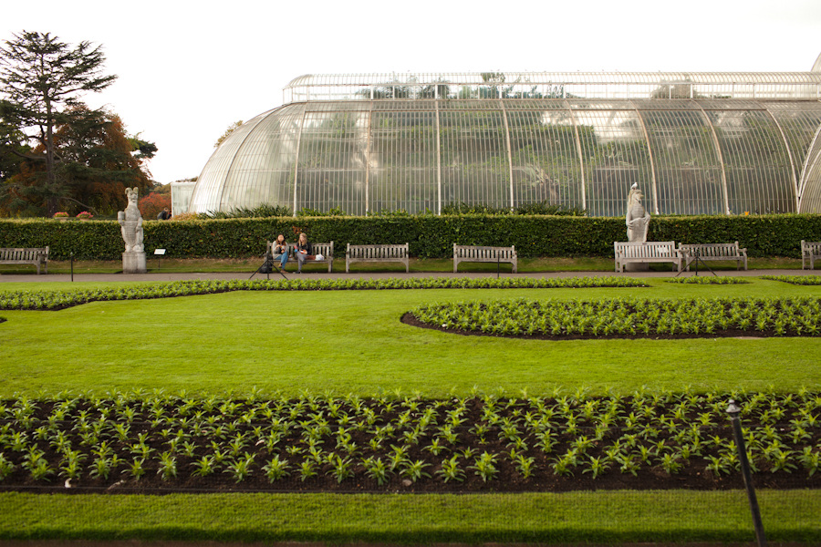
Kew Royal Botanic Gardens, London

Kew Royal Botanic Gardens, London

Kew Royal Botanic Gardens, London

Kew Royal Botanic Gardens, London

Kew Royal Botanic Gardens, London

Kew Royal Botanic Gardens, London

Kew Royal Botanic Gardens, London

Kew Royal Botanic Gardens, London

Kew Royal Botanic Gardens, London

Kew Royal Botanic Gardens, London

Kew Royal Botanic Gardens, London

Kew Royal Botanic Gardens, London

Kew Royal Botanic Gardens, London

Kew Royal Botanic Gardens, London

Kew Royal Botanic Gardens, London

Kew Royal Botanic Gardens, London

Kew Royal Botanic Gardens, London

Kew Royal Botanic Gardens, London

Kew Royal Botanic Gardens, London

Kew Royal Botanic Gardens, London

Kew Royal Botanic Gardens, London

Kew Royal Botanic Gardens, London

Kew Royal Botanic Gardens, London

Kew Royal Botanic Gardens, London

Kew Royal Botanic Gardens, London

Kew Royal Botanic Gardens, London

Kew Royal Botanic Gardens, London

Kew Royal Botanic Gardens, London

Kew Royal Botanic Gardens, London

Kew Royal Botanic Gardens, London

Kew Royal Botanic Gardens, London

Kew Royal Botanic Gardens, London

Kew Royal Botanic Gardens, London

Kew Royal Botanic Gardens, London

Kew Royal Botanic Gardens, London

Kew Royal Botanic Gardens, London

Kew Royal Botanic Gardens, London

Kew Royal Botanic Gardens, London

Kew Royal Botanic Gardens, London

Kew Royal Botanic Gardens, London

Kew Royal Botanic Gardens, London

Kew Royal Botanic Gardens, London

Kew Royal Botanic Gardens, London

Kew Royal Botanic Gardens, London

Kew Royal Botanic Gardens, London

Kew Royal Botanic Gardens, London

Kew Royal Botanic Gardens, London

Kew Royal Botanic Gardens, London

Kew Royal Botanic Gardens, London

Kew Royal Botanic Gardens, London
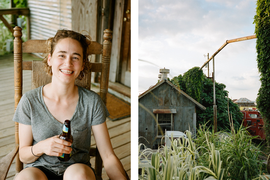
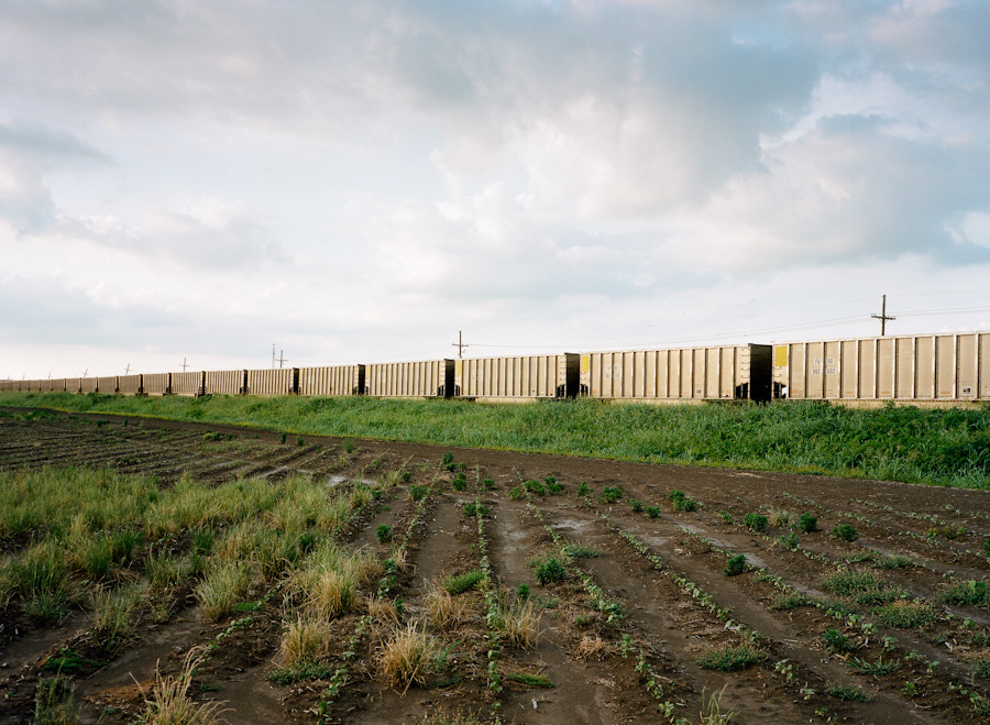
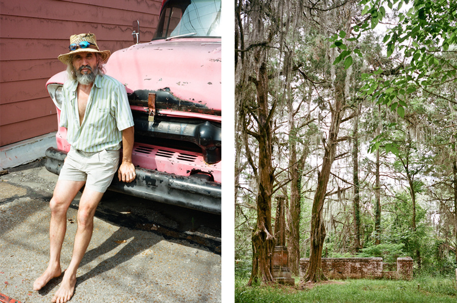
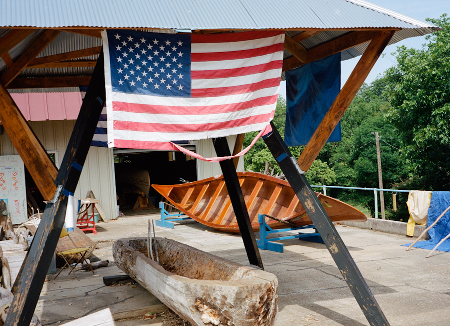
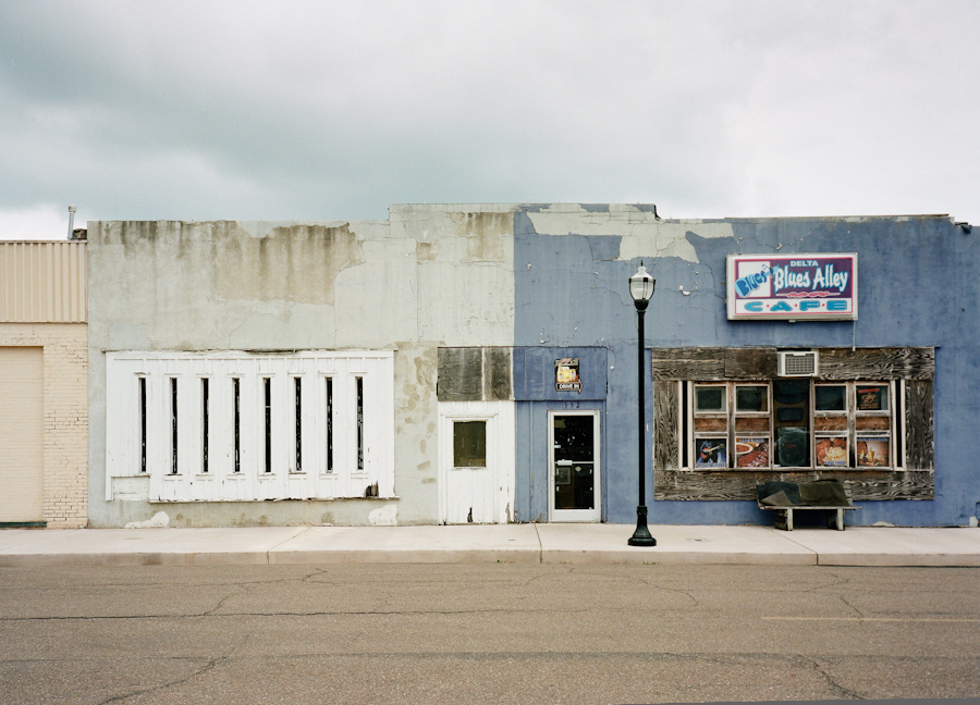
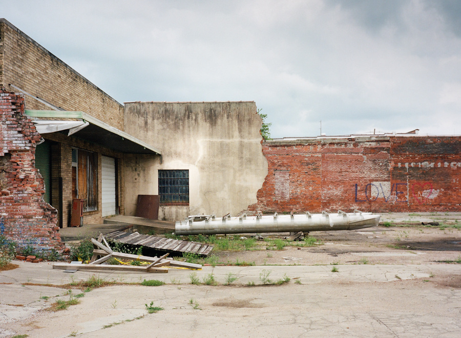
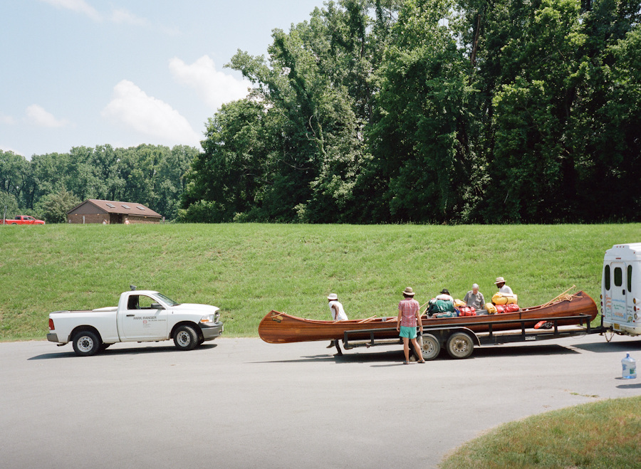
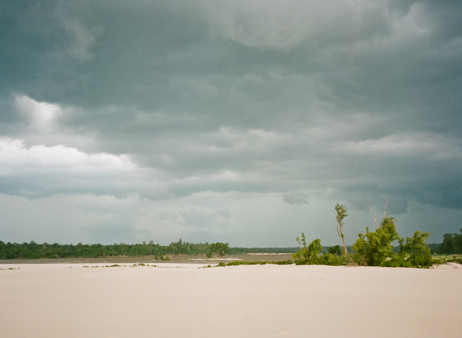
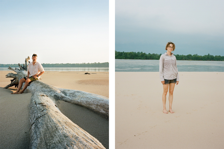
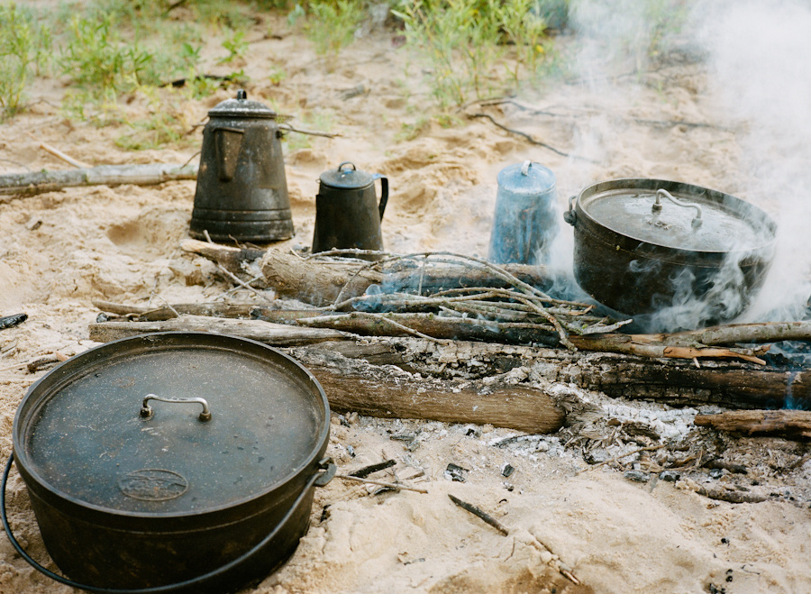
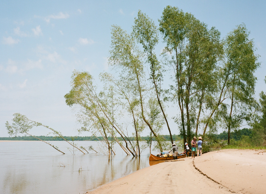
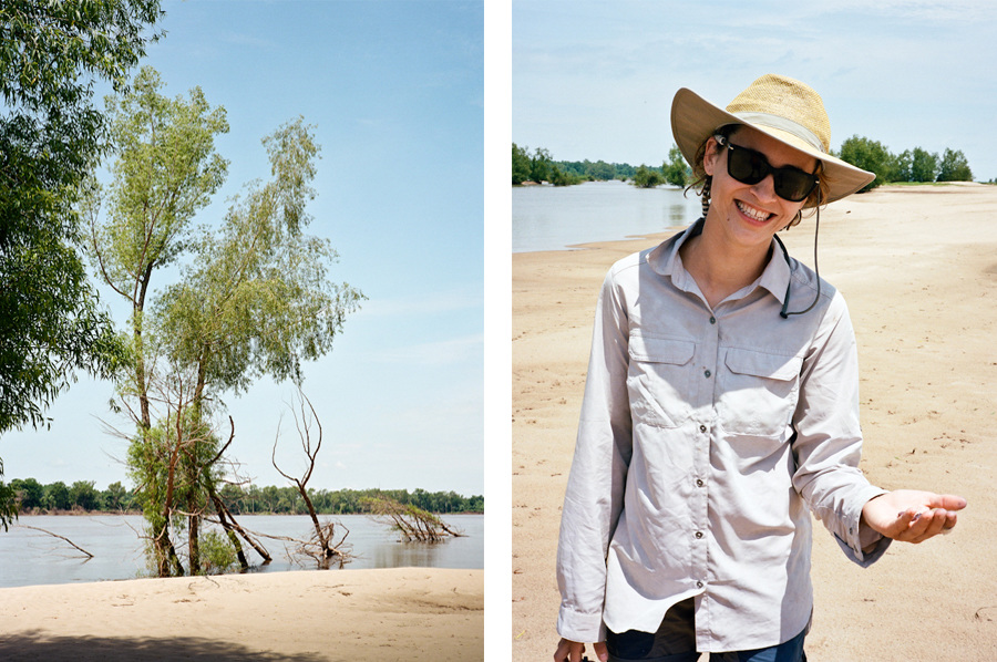
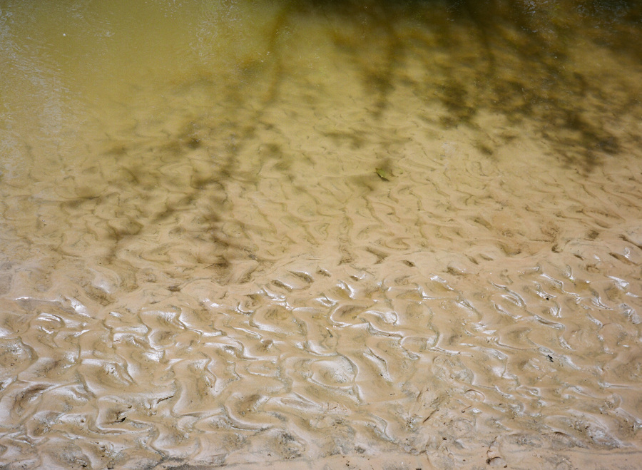
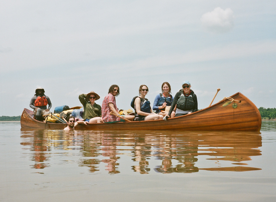
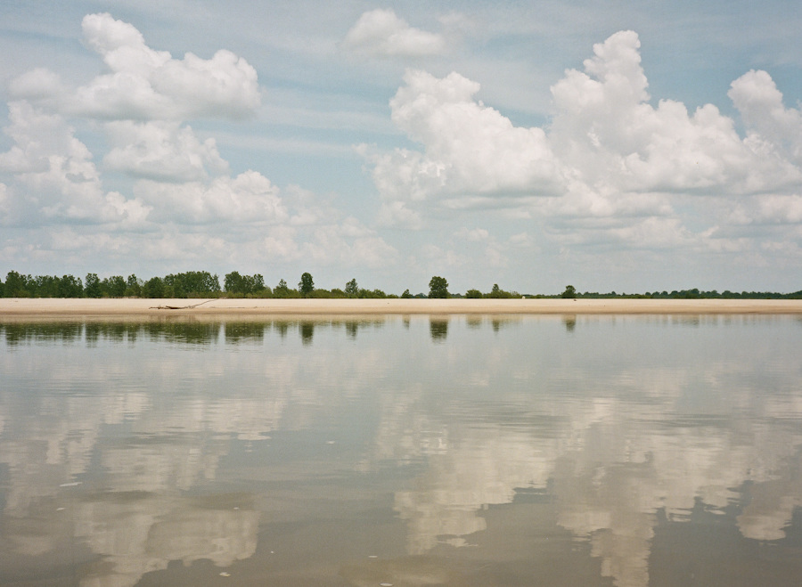
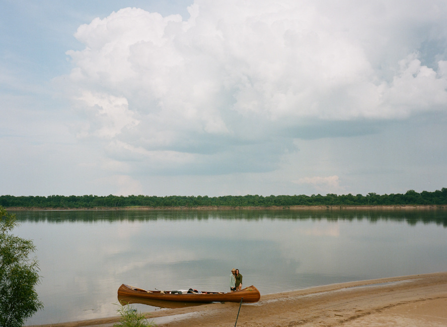
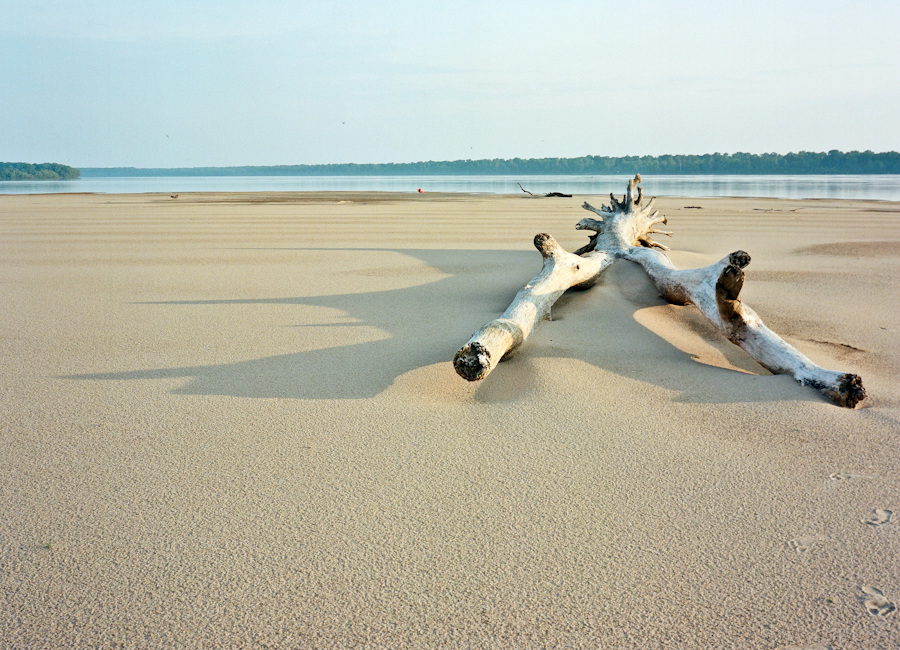
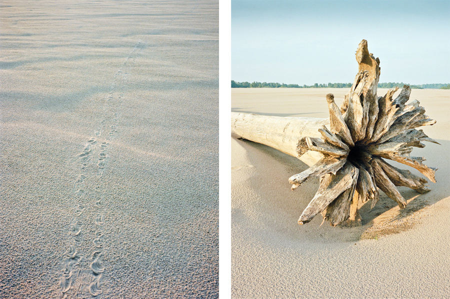
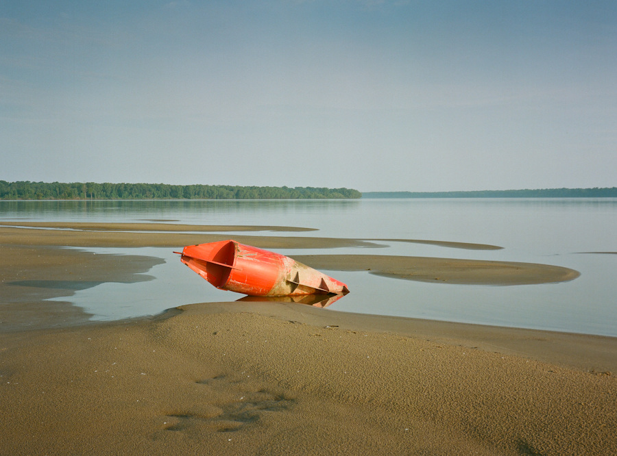
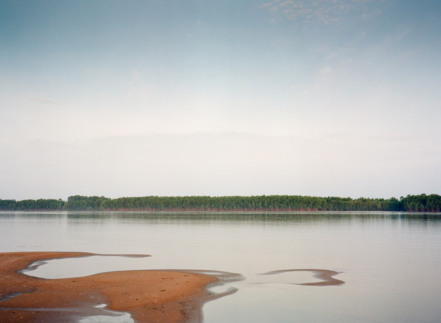
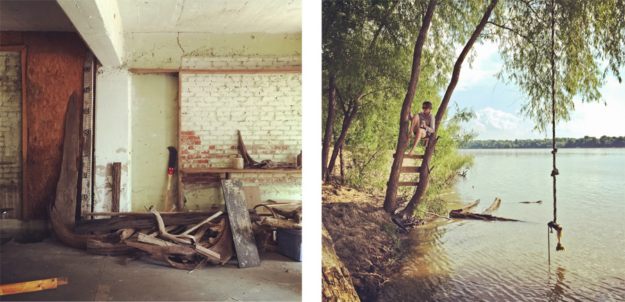
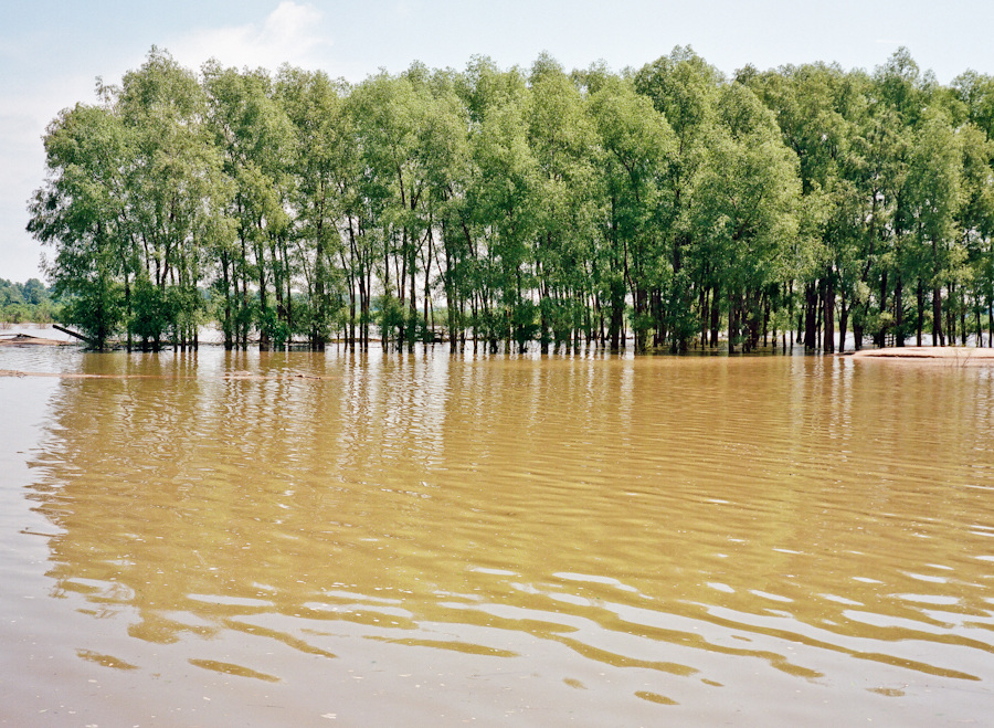
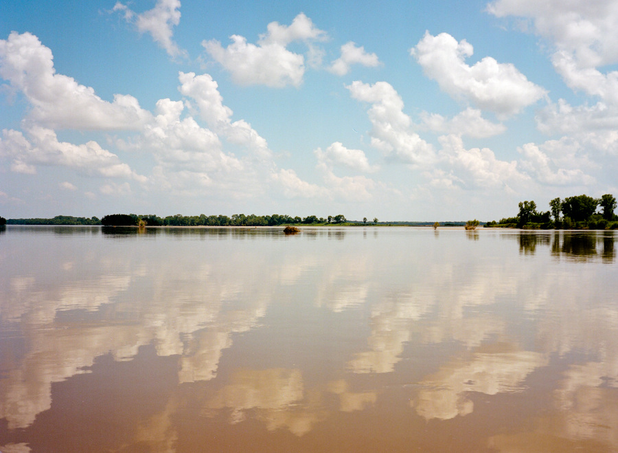
In 2016 I canoed with a group of friends along a section of river, where the Arkansas flows into the Mississippi. The trip lasted for five days and in that time we covered about 100 miles. There were six of us in one giant wooden canoe and the guidance, gear and inspiration were all provided by Quapaw Canoe Company in Clarksdale, MS. We slept on white sand beaches, swam everyday in the muddy cool water of the Mississippi and only passed under one bridge over the course of the journey—the landscape was totally remote and wild. Following the river trip, we drove to New Orleans and some of those photos appear here as well.

Mississippi River Trip

Mississippi River Trip

Mississippi River Trip

Mississippi River Trip

Mississippi River Trip

Mississippi River Trip

Mississippi River Trip

Mississippi River Trip

Mississippi River Trip

Mississippi River Trip

Mississippi River Trip

Mississippi River Trip

Mississippi River Trip

Mississippi River Trip

Mississippi River Trip

Mississippi River Trip

Mississippi River Trip

Mississippi River Trip

Mississippi River Trip

Mississippi River Trip

Mississippi River Trip

Mississippi River Trip

Mississippi River Trip

Mississippi River Trip

Mississippi River Trip

Mississippi River Trip

Mississippi River Trip

Mississippi River Trip

Mississippi River Trip

Mississippi River Trip

Mississippi River Trip

Mississippi River Trip

Mississippi River Trip

Mississippi River Trip

Mississippi River Trip

Mississippi River Trip

Mississippi River Trip

Mount Desert Island, Maine

Mount Desert Island, Maine

Mount Desert Island, Maine

Mount Desert Island, Maine
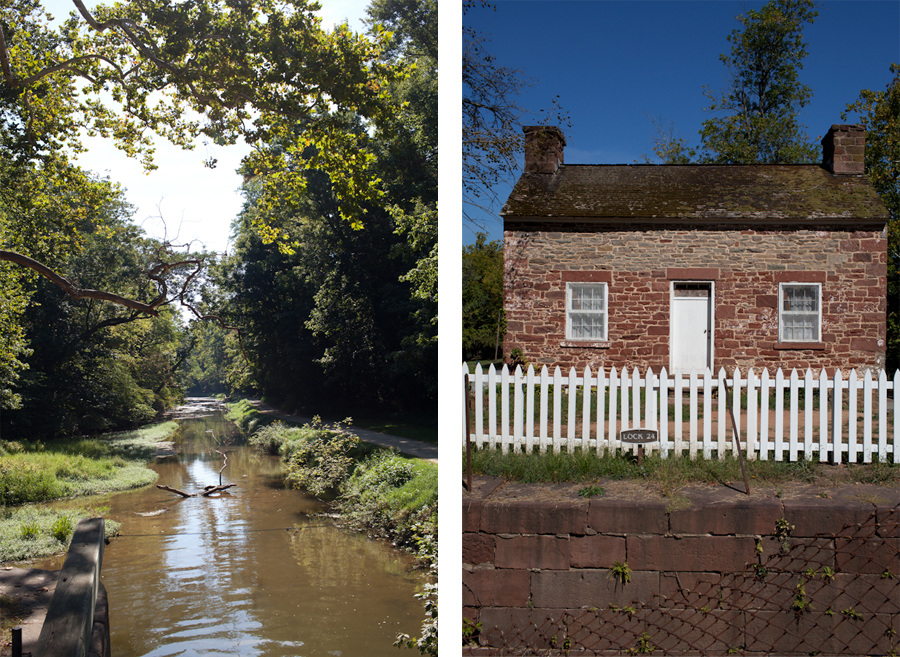
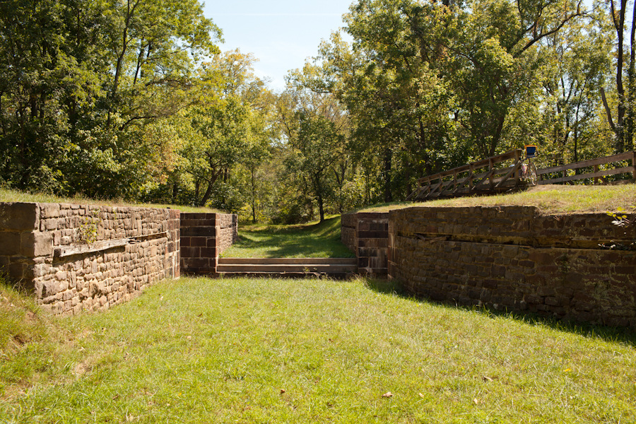
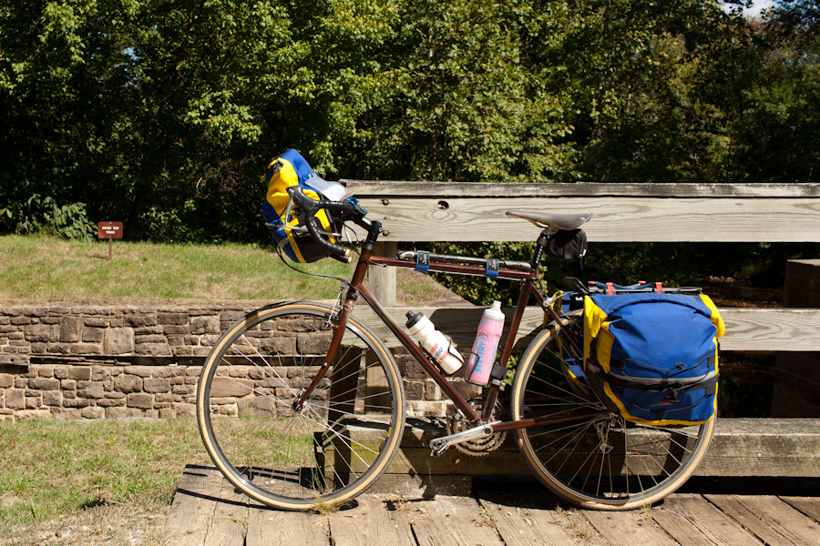
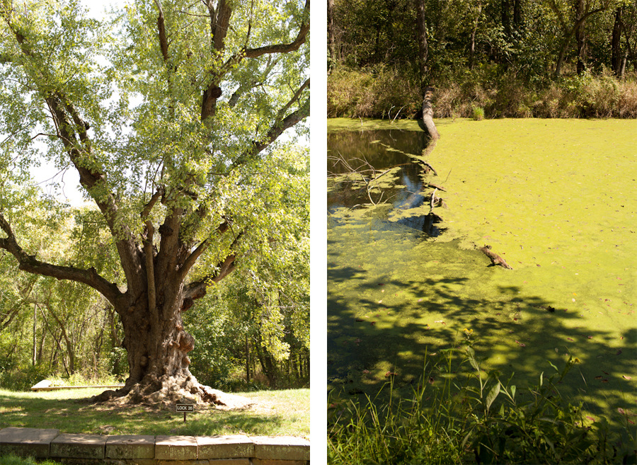
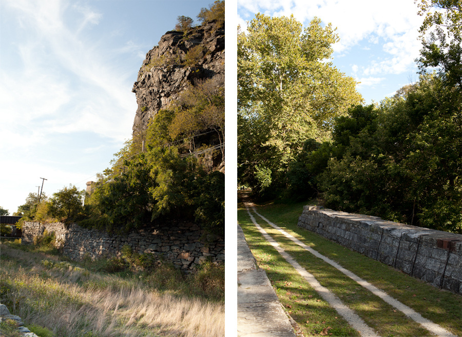
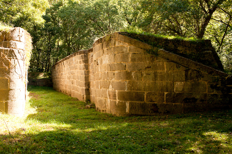
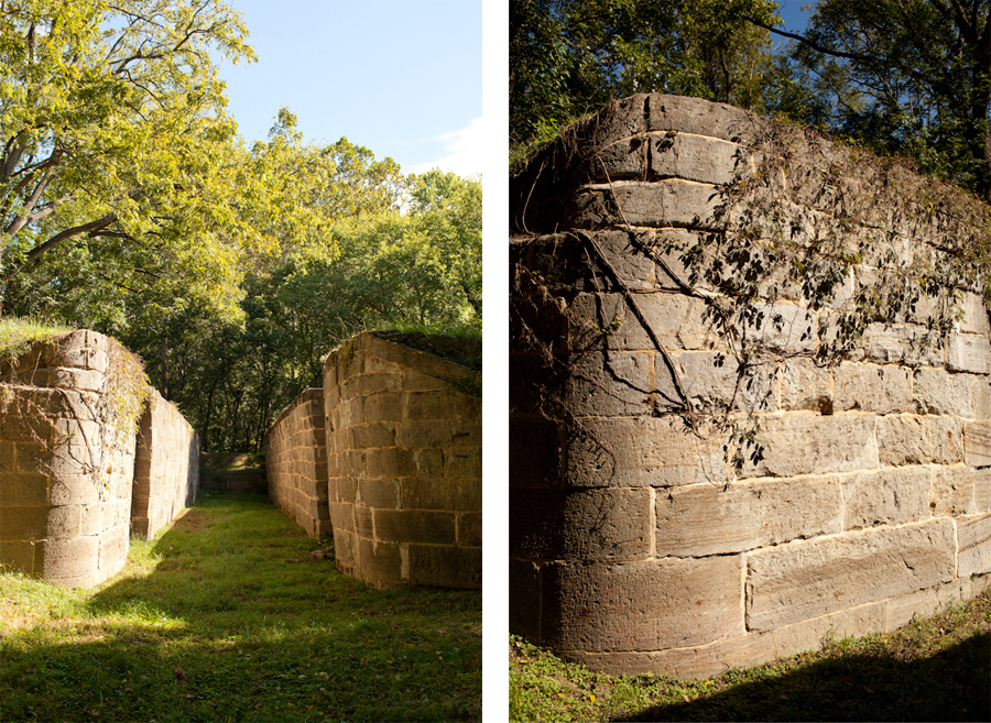
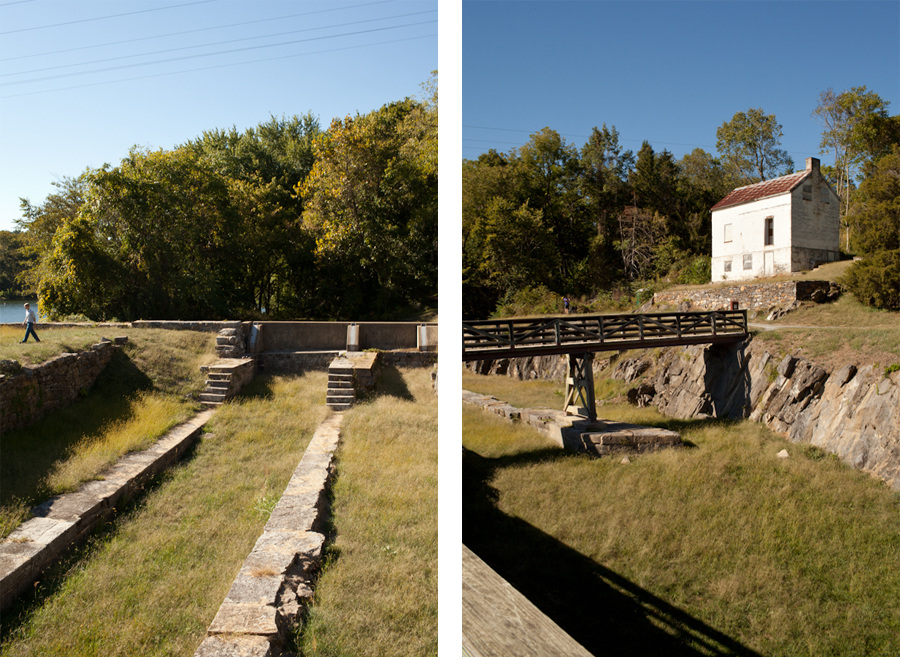
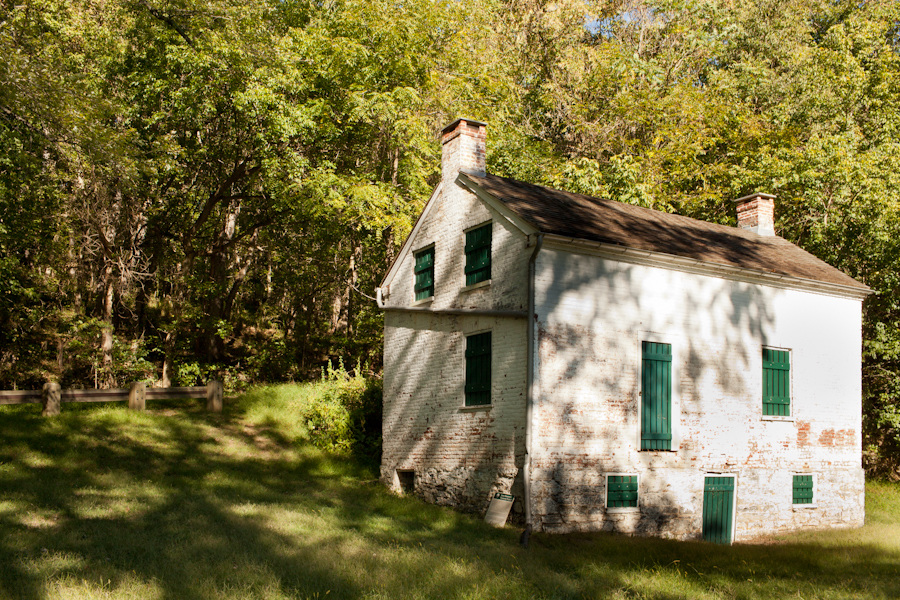
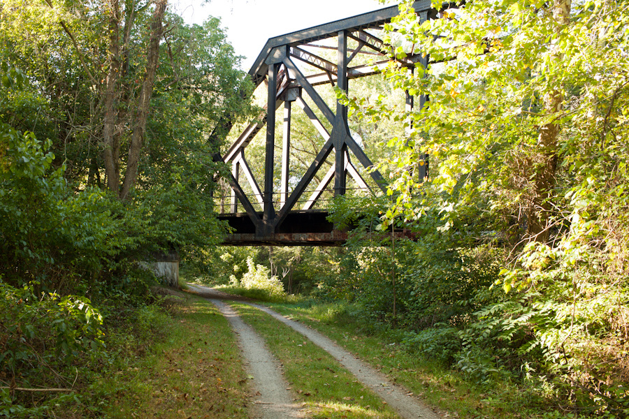
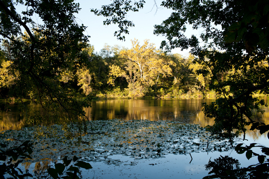
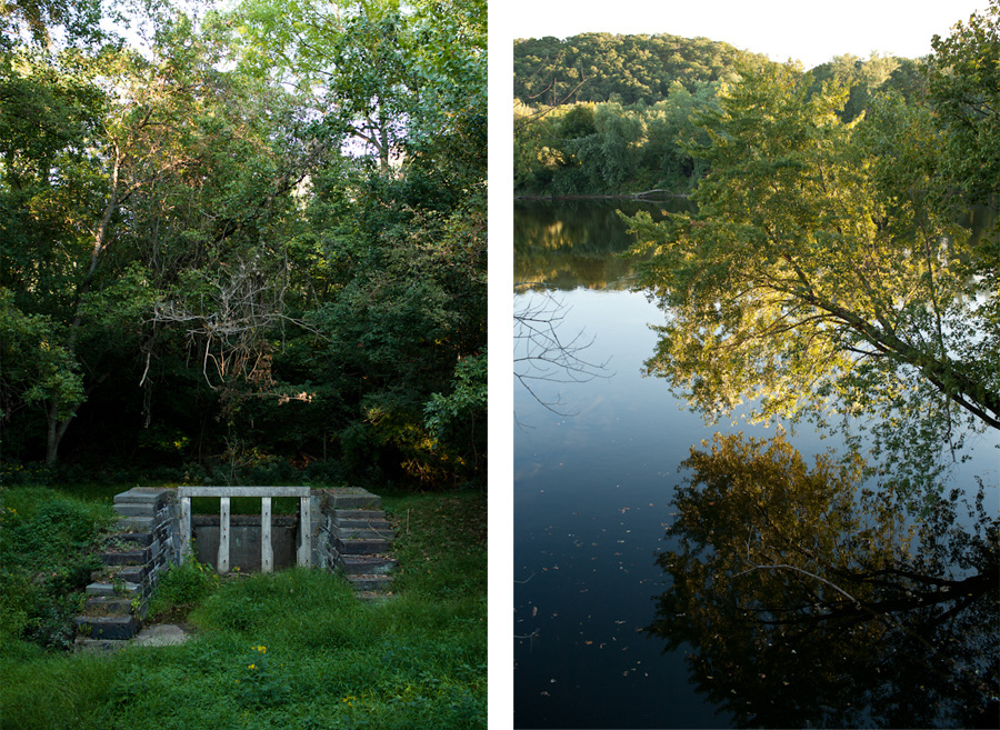
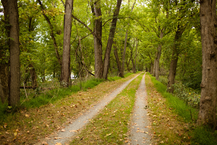
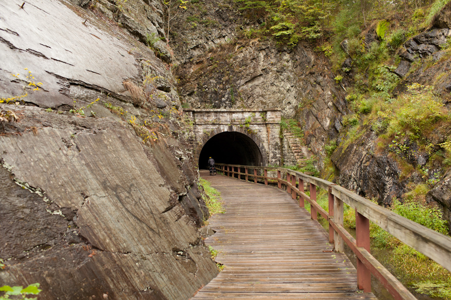
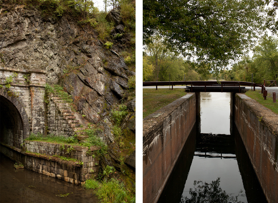
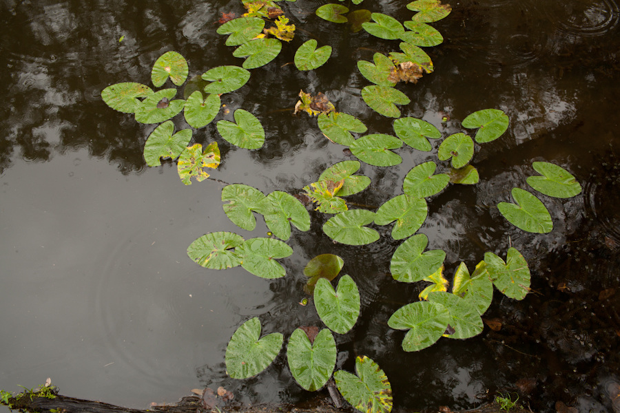
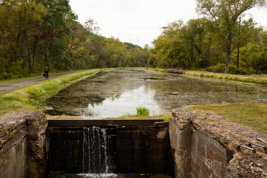
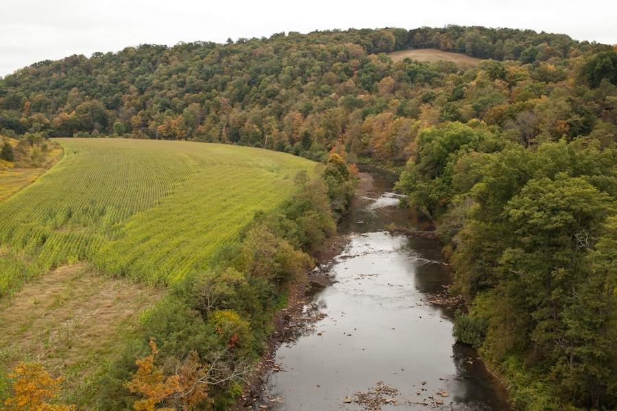
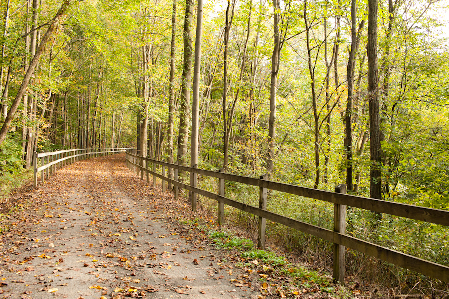
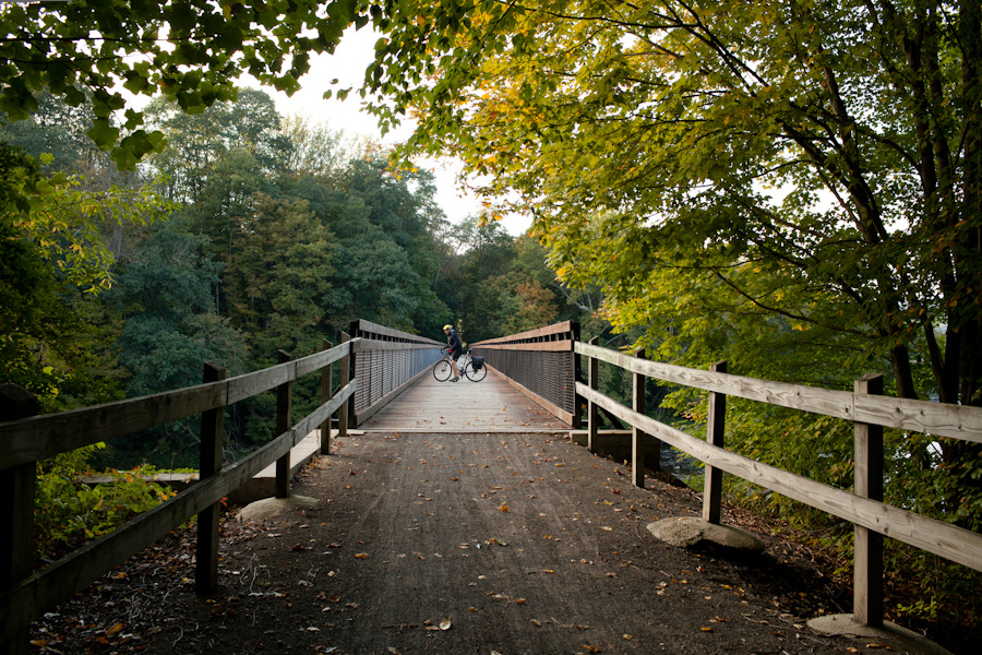
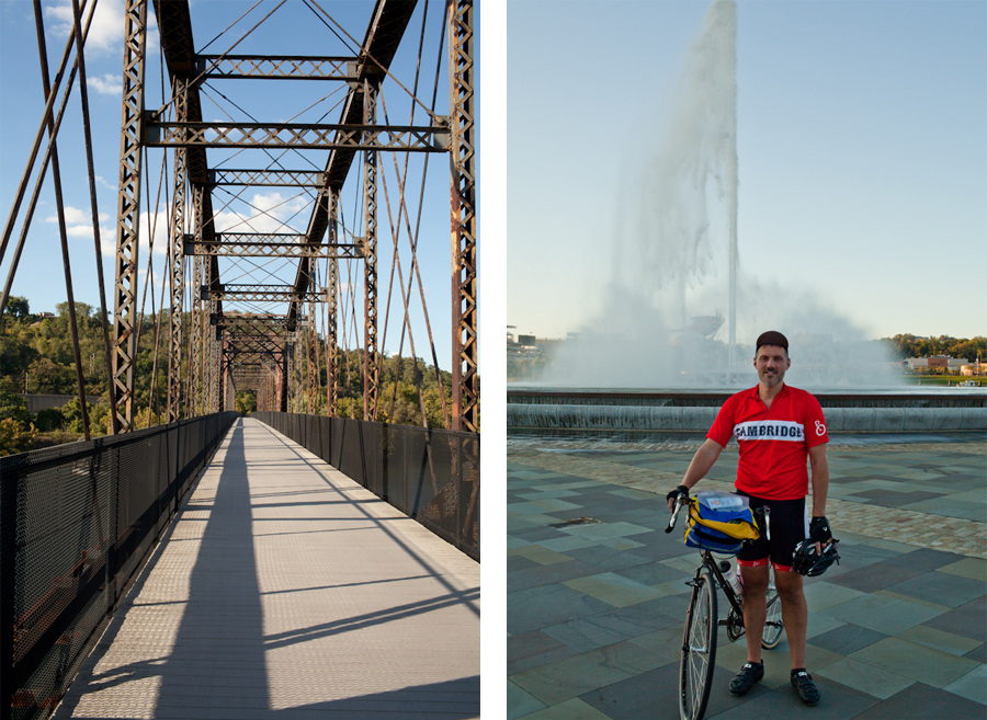
In 2015, I biked from Washington D.C. along the Potomac River on the C&O Canal towpath and, from Cumberland, MD to Pittsburgh, PA, along the repurposed rail bed of the Great Allegheny Passage. The photos that follow document the 335 mile trip chronologically.

Washington D.C. to Pittsburgh, PA

Washington D.C. to Pittsburgh, PA

Washington D.C. to Pittsburgh, PA

Washington D.C. to Pittsburgh, PA

Washington D.C. to Pittsburgh, PA

Washington D.C. to Pittsburgh, PA

Washington D.C. to Pittsburgh, PA

Washington D.C. to Pittsburgh, PA

Washington D.C. to Pittsburgh, PA

Washington D.C. to Pittsburgh, PA

Washington D.C. to Pittsburgh, PA

Washington D.C. to Pittsburgh, PA

Washington D.C. to Pittsburgh, PA

Washington D.C. to Pittsburgh, PA

Washington D.C. to Pittsburgh, PA

Washington D.C. to Pittsburgh, PA

Washington D.C. to Pittsburgh, PA

Washington D.C. to Pittsburgh, PA

Washington D.C. to Pittsburgh, PA

Washington D.C. to Pittsburgh, PA

Washington D.C. to Pittsburgh, PA

Washington D.C. to Pittsburgh, PA

Washington D.C. to Pittsburgh, PA

Washington D.C. to Pittsburgh, PA

Washington D.C. to Pittsburgh, PA

Washington D.C. to Pittsburgh, PA

Washington D.C. to Pittsburgh, PA

Washington D.C. to Pittsburgh, PA

Washington D.C. to Pittsburgh, PA

Washington D.C. to Pittsburgh, PA

Washington D.C. to Pittsburgh, PA

Washington D.C. to Pittsburgh, PA

Washington D.C. to Pittsburgh, PA

Washington D.C. to Pittsburgh, PA

Washington D.C. to Pittsburgh, PA

Washington D.C. to Pittsburgh, PA

Washington D.C. to Pittsburgh, PA

Washington D.C. to Pittsburgh, PA

Washington D.C. to Pittsburgh, PA

Washington D.C. to Pittsburgh, PA

Washington D.C. to Pittsburgh, PA

Washington D.C. to Pittsburgh, PA

Washington D.C. to Pittsburgh, PA

Washington D.C. to Pittsburgh, PA

Washington D.C. to Pittsburgh, PA

Washington D.C. to Pittsburgh, PA

Washington D.C. to Pittsburgh, PA

Washington D.C. to Pittsburgh, PA

Washington D.C. to Pittsburgh, PA

Washington D.C. to Pittsburgh, PA

Washington D.C. to Pittsburgh, PA

Washington D.C. to Pittsburgh, PA

Washington D.C. to Pittsburgh, PA

Washington D.C. to Pittsburgh, PA

Washington D.C. to Pittsburgh, PA

Washington D.C. to Pittsburgh, PA

Washington D.C. to Pittsburgh, PA

Washington D.C. to Pittsburgh, PA

Washington D.C. to Pittsburgh, PA

Washington D.C. to Pittsburgh, PA

Washington D.C. to Pittsburgh, PA

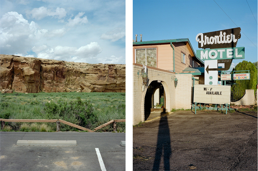
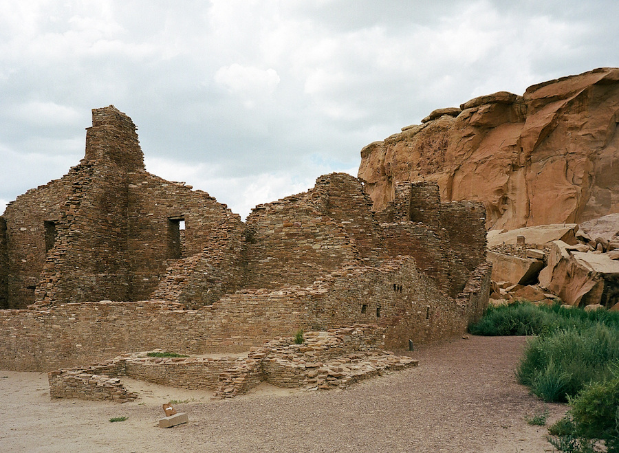
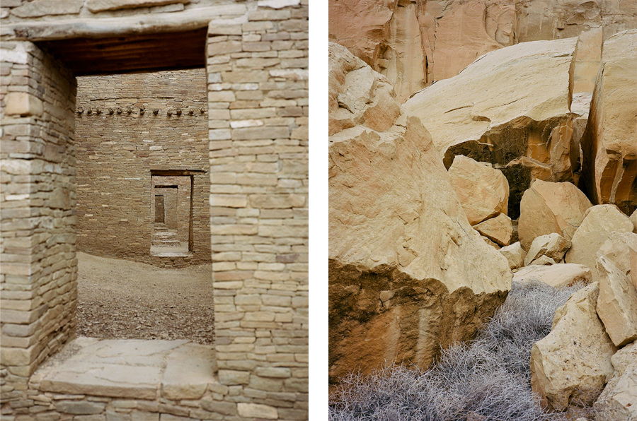
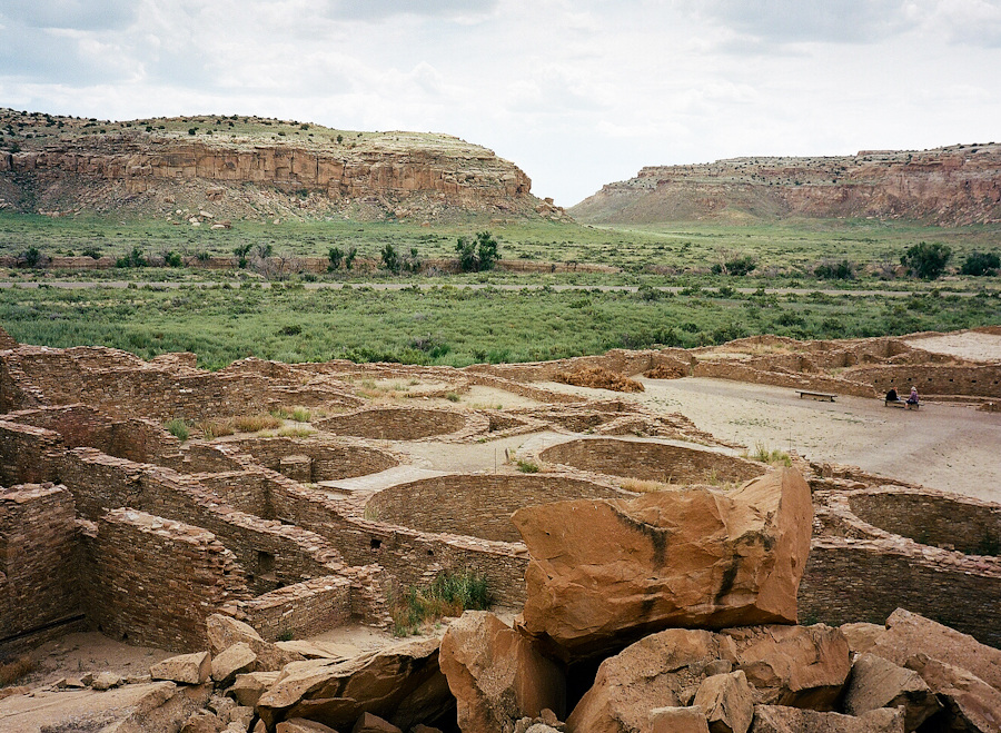
Chaco Culture National Historic Park, Nageezi, New Mexico

Chaco Culture National Historic Park, Nageezi, New Mexico

Chaco Culture National Historic Park, Nageezi, New Mexico

Chaco Culture National Historic Park, Nageezi, New Mexico

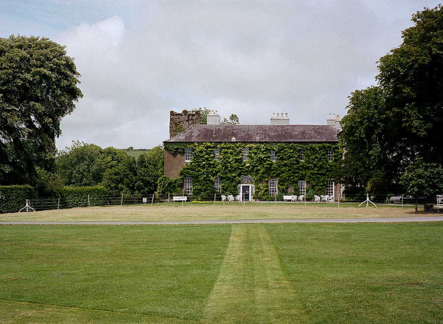
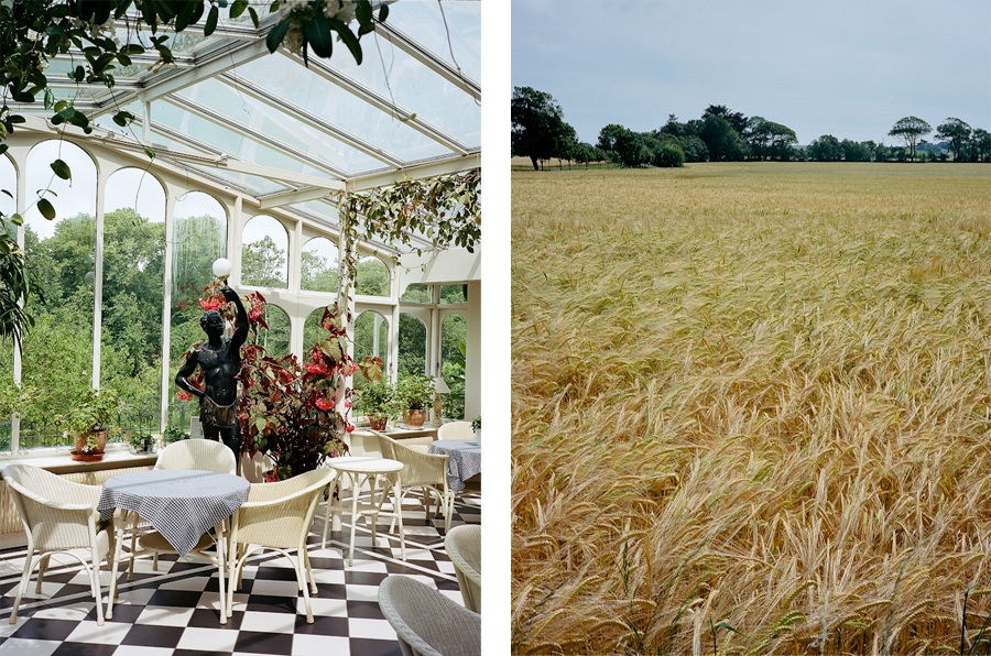
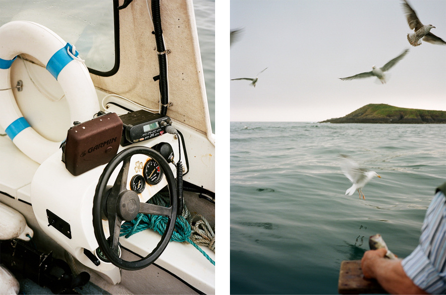
Ballymaloe House, Cork, Ireland

Ballymaloe House, Cork, Ireland

Ballymaloe House, Cork, Ireland

Ballymaloe House, Cork, Ireland

Ballymaloe House, Cork, Ireland

Ballymaloe House, Cork, Ireland

Ballymaloe House, Cork, Ireland

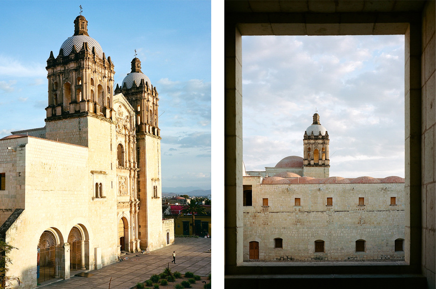
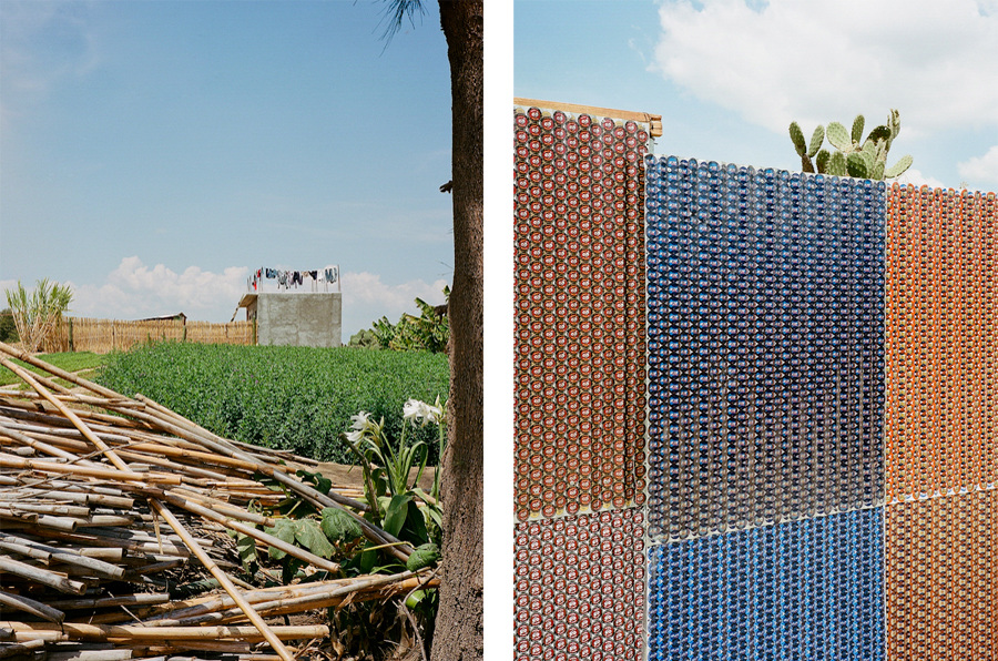
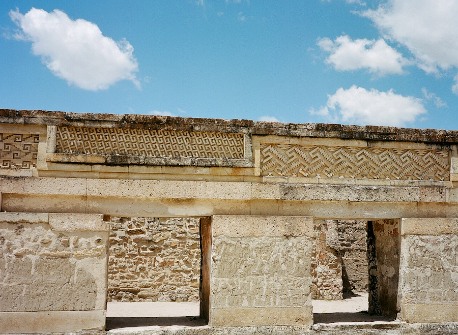
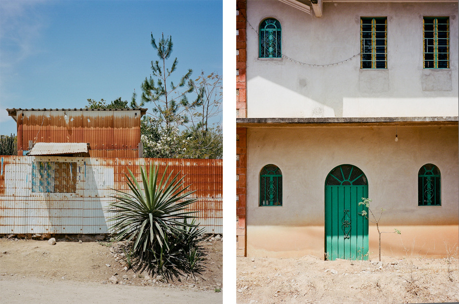
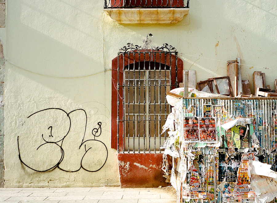
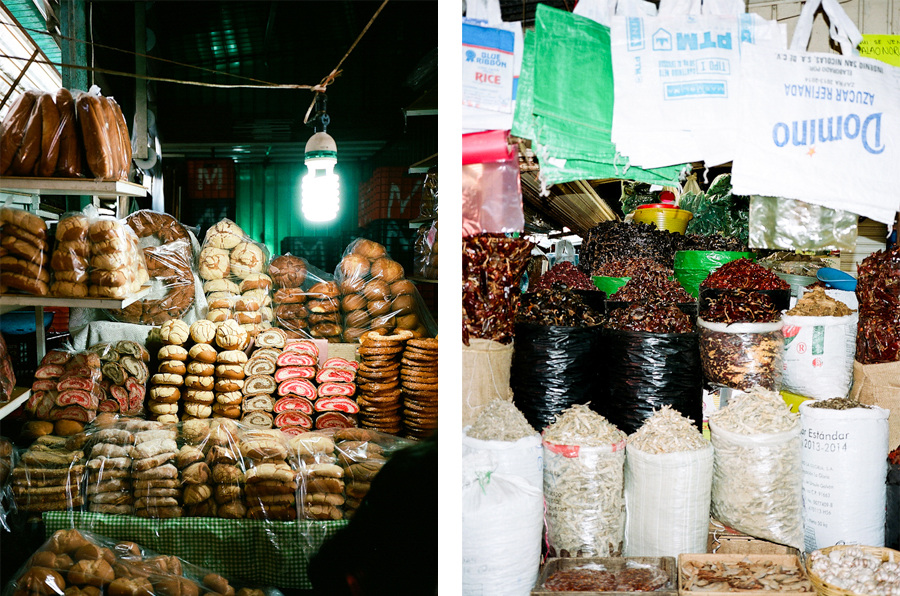
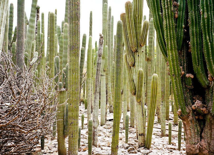
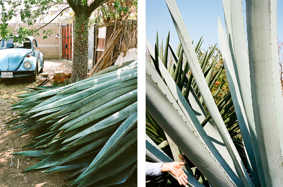
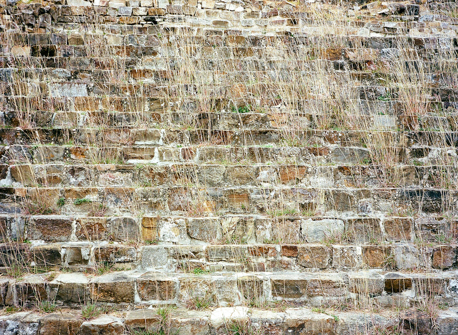
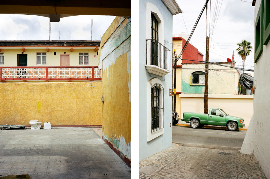
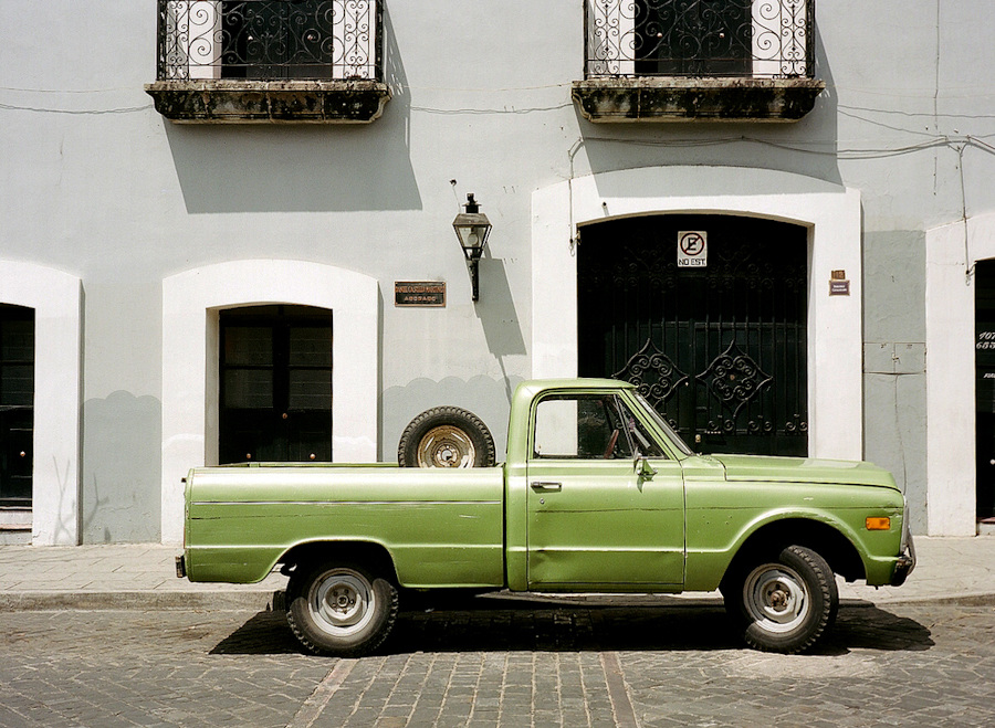
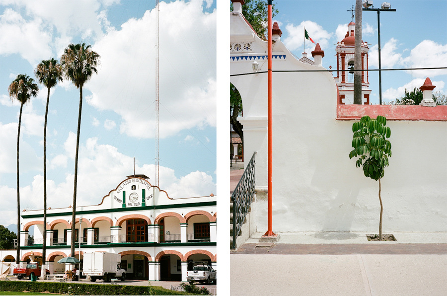
Oaxaca, Mexico

Oaxaca, Mexico

Oaxaca, Mexico

Oaxaca, Mexico

Oaxaca, Mexico

Oaxaca, Mexico

Oaxaca, Mexico

Oaxaca, Mexico

Oaxaca, Mexico

Oaxaca, Mexico

Oaxaca, Mexico

Oaxaca, Mexico

Oaxaca, Mexico

Oaxaca, Mexico

Oaxaca, Mexico

Oaxaca, Mexico

Oaxaca, Mexico

Oaxaca, Mexico
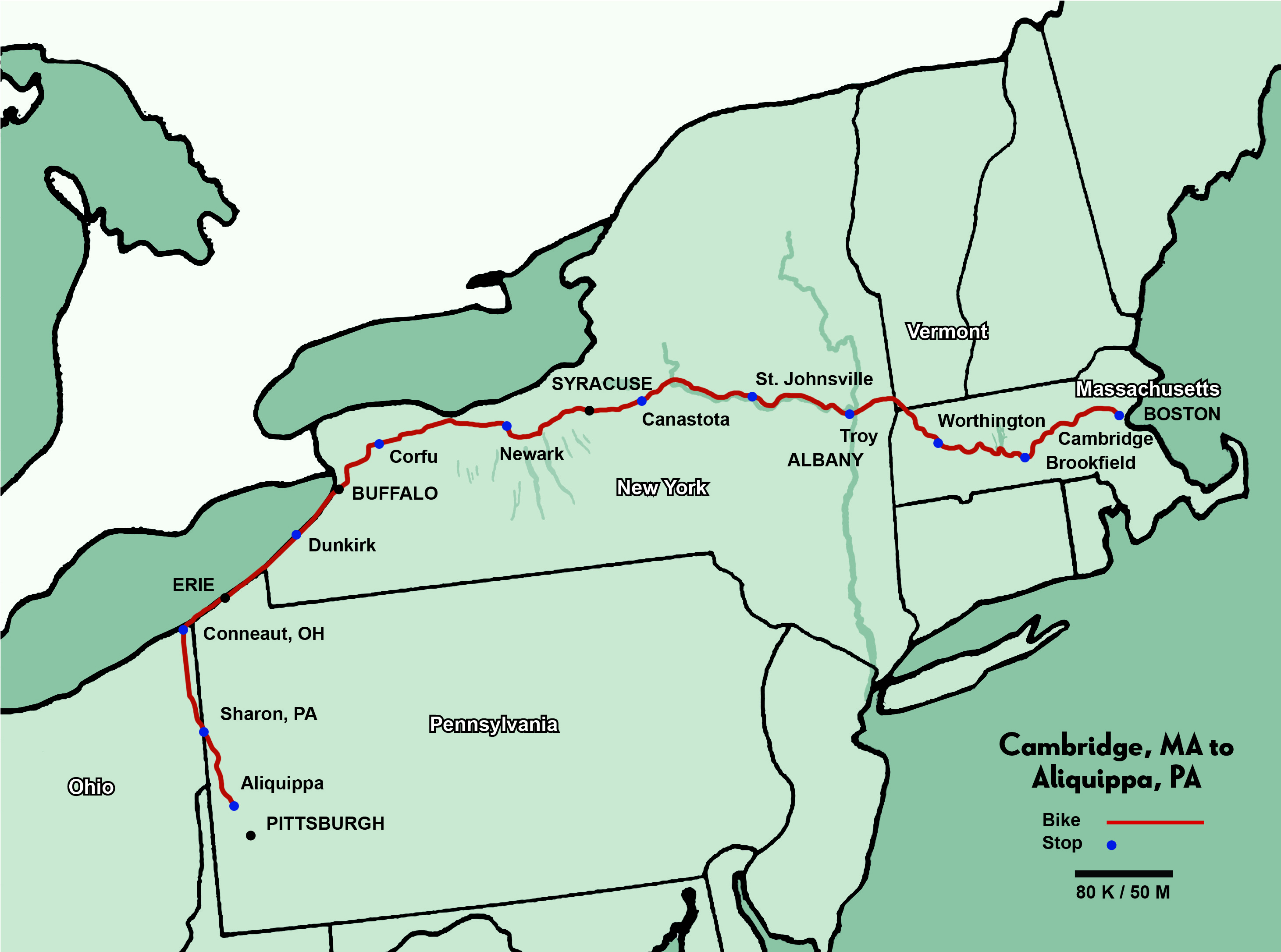
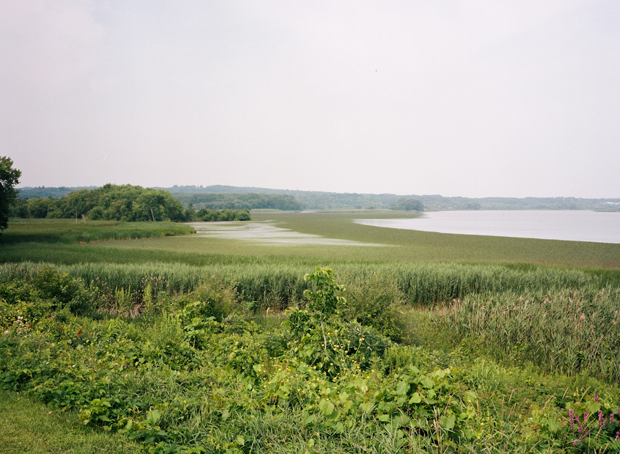
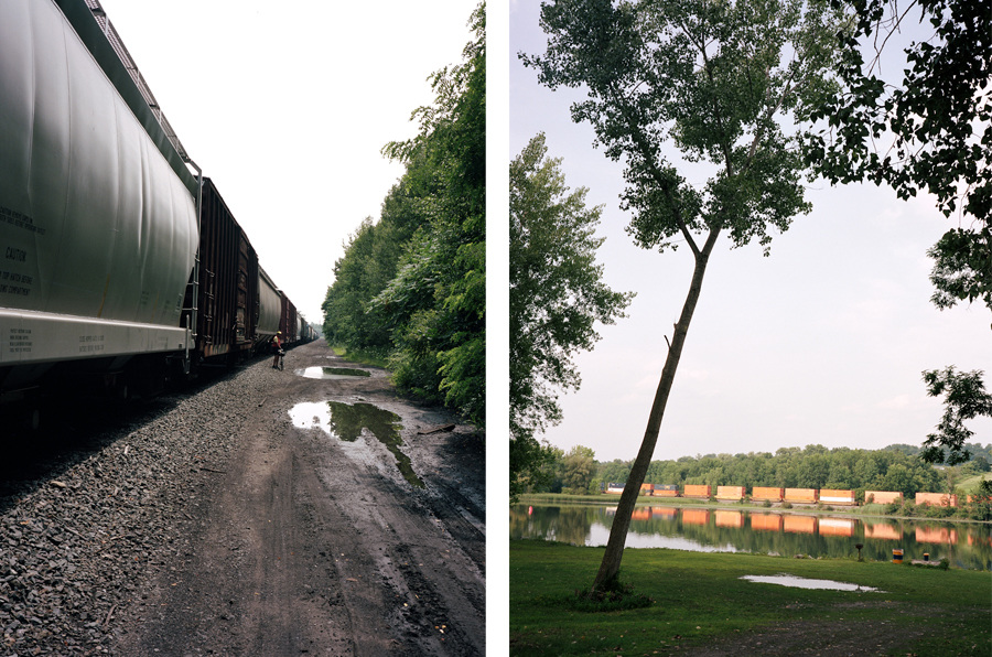
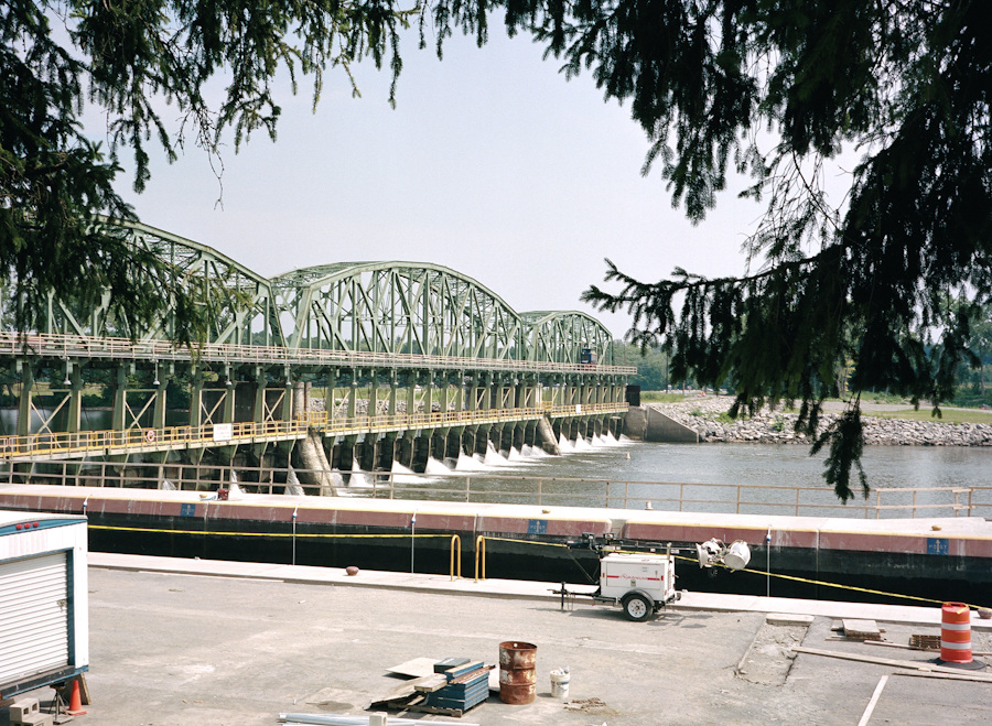
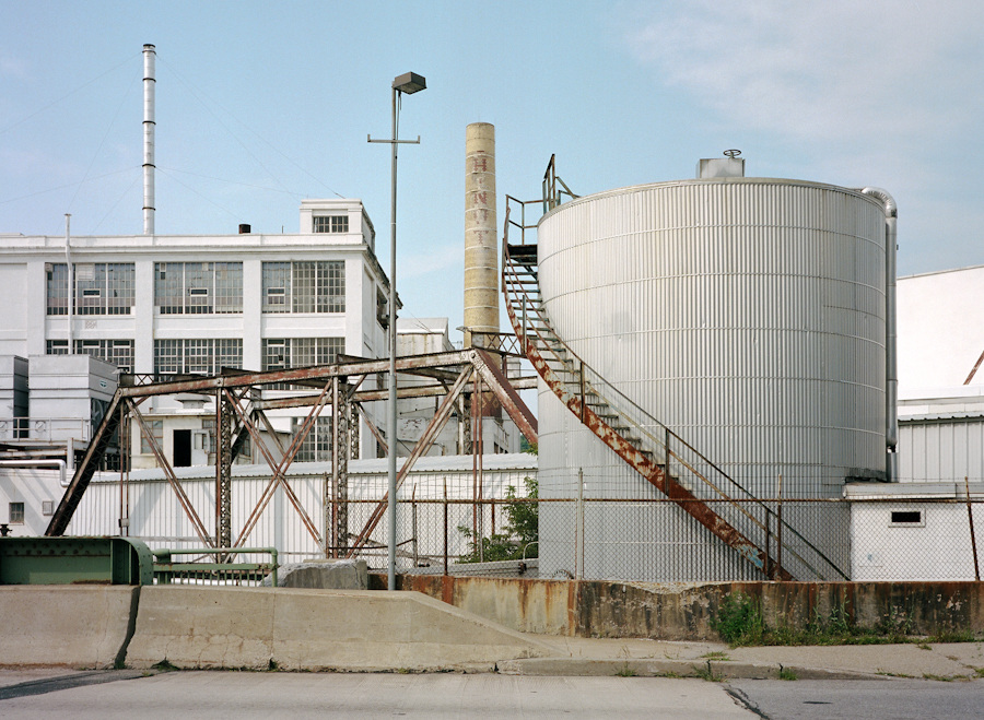
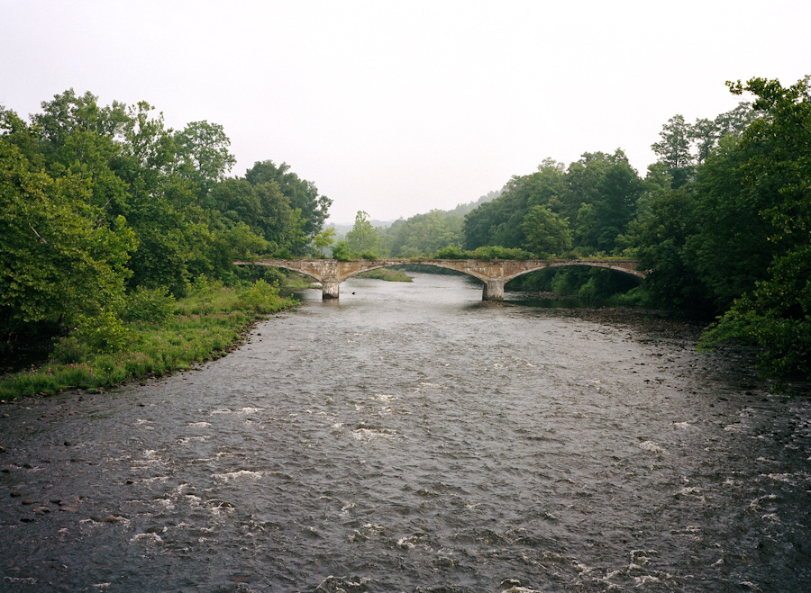
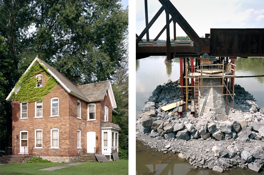
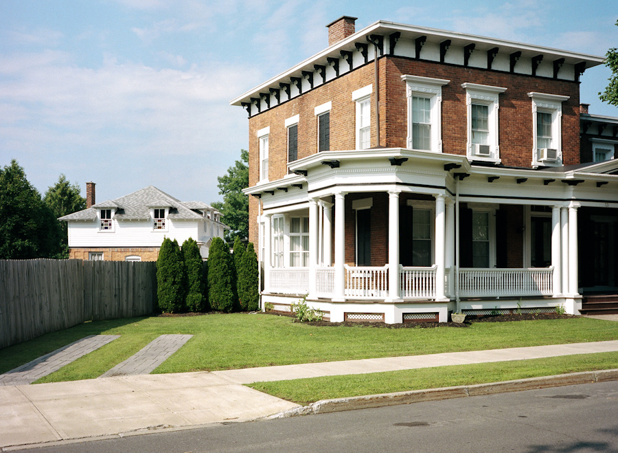
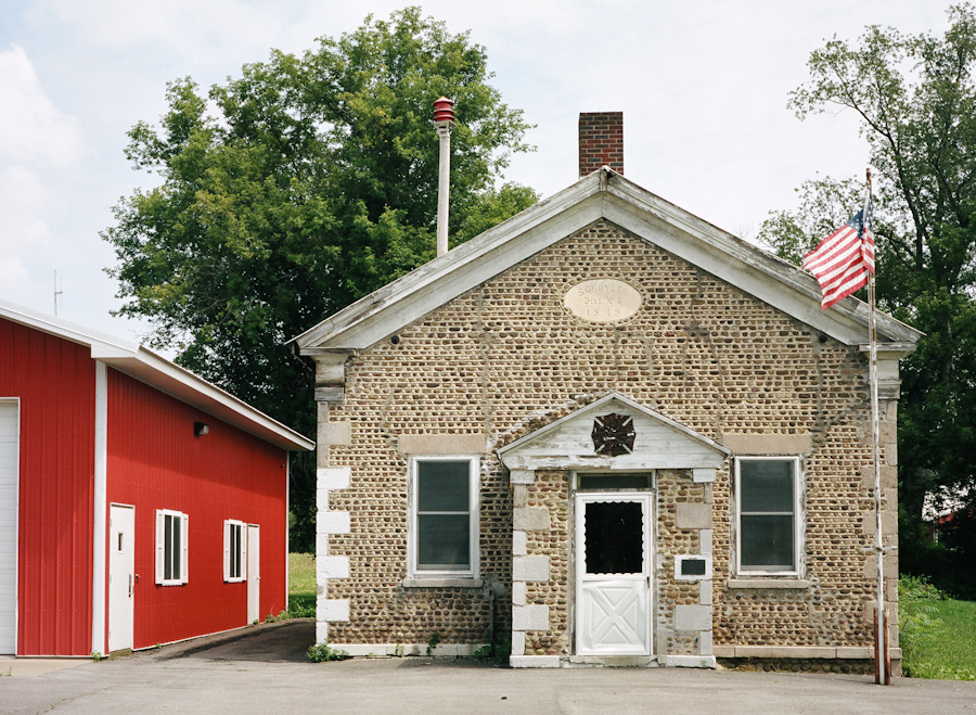
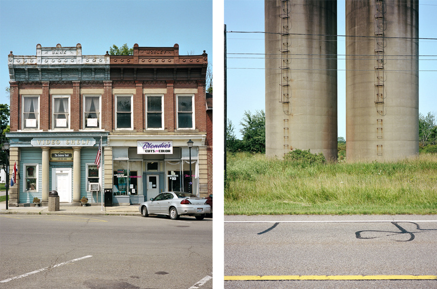
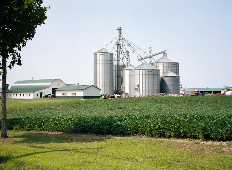
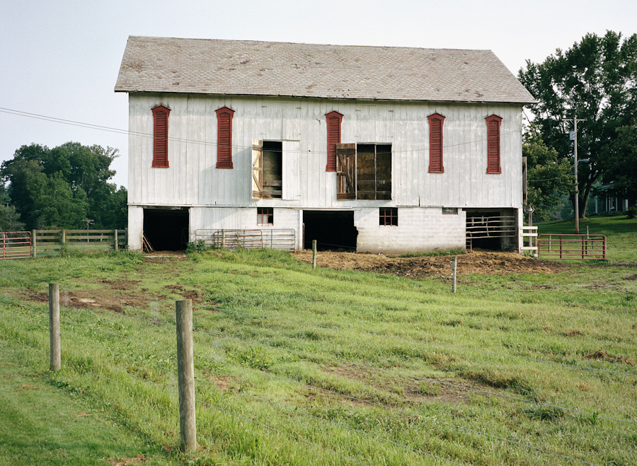
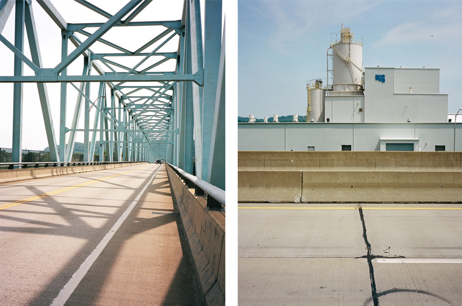
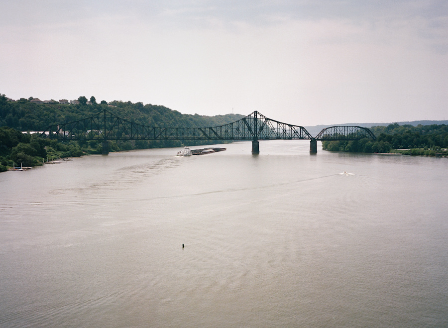
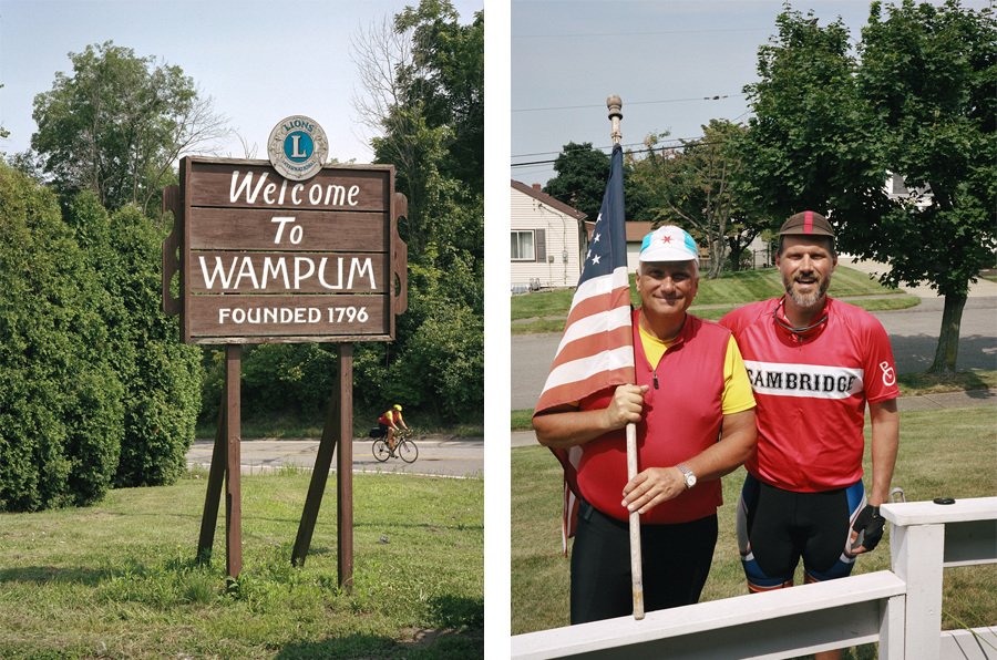
The photographs that follow offer a glimpse into a bike trip I took during the summer of 2014 from Cambridge, MA. to Aliquippa, PA., just north of Pittsburgh. The ride covered approximately eight-hundred miles in eleven days and I was accompanied by Beth, across Massachusetts, and my father from Albany to my grandma's house in Aliquippa. While the main attraction was meant to be the three-hundred mile corridor of the old Erie Canal, I found my attention piqued by the cultural and natural margins that surround this now abandoned and swampy pathway. The working infrastructure, industrial ruins, and varied architecture that punctuates this landscape seems stranded without the rail and canal networks that once enabled the region to thrive. Such features are often out of sight when traveling by highway and I recommend the pace and labor of bike travel to anyone who wants to grapple with the scale and material of this environment.

My medium of choice when traveling is film photography and the compact Fuji 645 medium-format camera has the perfect size, durability and automation for bike work. Though one has to be patient to see the results, both the quality of images and the excitement of making discoveries weeks later make film worth the wait.

A selection of my photographs and the above write-up—which now reads as strangely formal and pretentious, but I didn't feel like changing it—appear in the second issue of The Graduate Journal of Food Studies.

Cambridge, MA to Aliquippa, PA


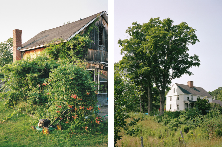
Brookfield, Massachusetts

Cambridge, MA to Aliquippa, PA

Cambridge, MA to Aliquippa, PA


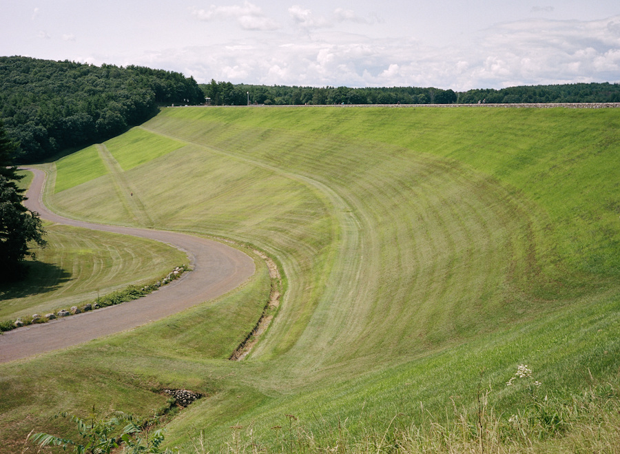
Winsor Dam at Quabbin Reservoir, MA

Cambridge, MA to Aliquippa, PA

Cambridge, MA to Aliquippa, PA


Windsor State Forest, MA

Cambridge, MA to Aliquippa, PA

Cambridge, MA to Aliquippa, PA


Pownal, Vermont

Cambridge, MA to Aliquippa, PA

Cambridge, MA to Aliquippa, PA


The Hudson River, Cohoes, New York

Cambridge, MA to Aliquippa, PA


The Mohawk River, Niskayuna, N.Y.

Cambridge, MA to Aliquippa, PA

Cambridge, MA to Aliquippa, PA

Cambridge, MA to Aliquippa, PA


Beech-Nut Nutrition Corporation, Canajoharie, N.Y.

Cambridge, MA to Aliquippa, PA


East Canada Creek, East Creek, N.Y.

Cambridge, MA to Aliquippa, PA

Cambridge, MA to Aliquippa, PA


Little Falls, N.Y.

Cambridge, MA to Aliquippa, PA

Cambridge, MA to Aliquippa, PA

Cambridge, MA to Aliquippa, PA

Cambridge, MA to Aliquippa, PA


Ledge Road, Corfu, N.Y.

Cambridge, MA to Aliquippa, PA

Cambridge, MA to Aliquippa, PA


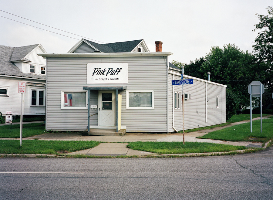
Lake Shore Drive, Dunkirk, N.Y.

Cambridge, MA to Aliquippa, PA

Cambridge, MA to Aliquippa, PA


Green Hills, N.Y.

Cambridge, MA to Aliquippa, PA

Cambridge, MA to Aliquippa, PA


Andover, Ohio

Cambridge, MA to Aliquippa, PA

Cambridge, MA to Aliquippa, PA

Cambridge, MA to Aliquippa, PA


Williamsfield, OH

Cambridge, MA to Aliquippa, PA

Cambridge, MA to Aliquippa, PA

Cambridge, MA to Aliquippa, PA

Cambridge, MA to Aliquippa, PA


Patagonia, Pennsylvania

Cambridge, MA to Aliquippa, PA


Pulaski, PA.

Cambridge, MA to Aliquippa, PA

Cambridge, MA to Aliquippa, PA


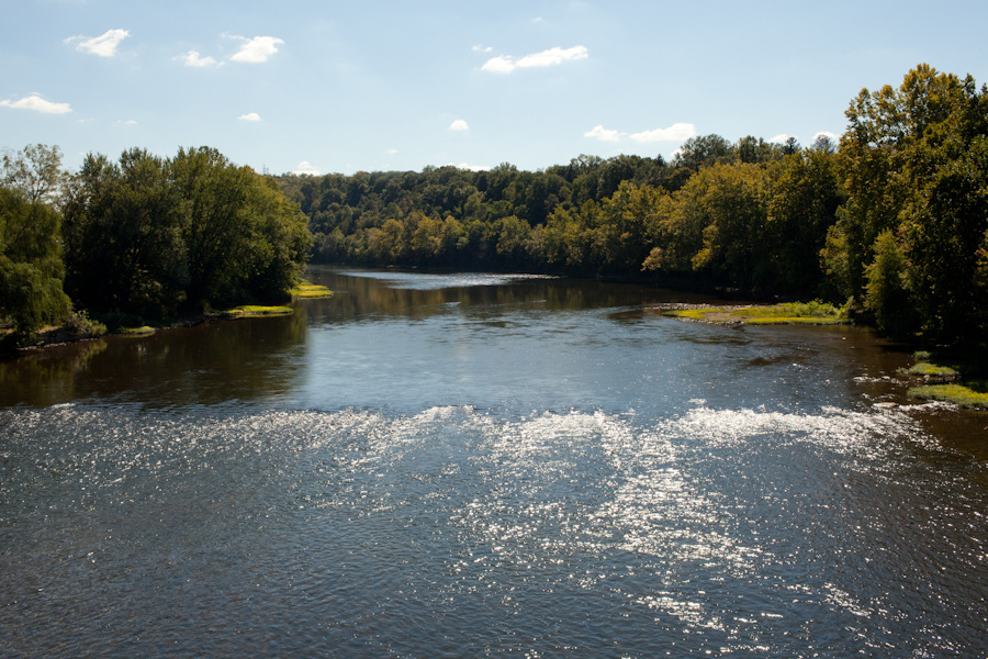
The Ohio River, PA

Cambridge, MA to Aliquippa, PA

Cambridge, MA to Aliquippa, PA
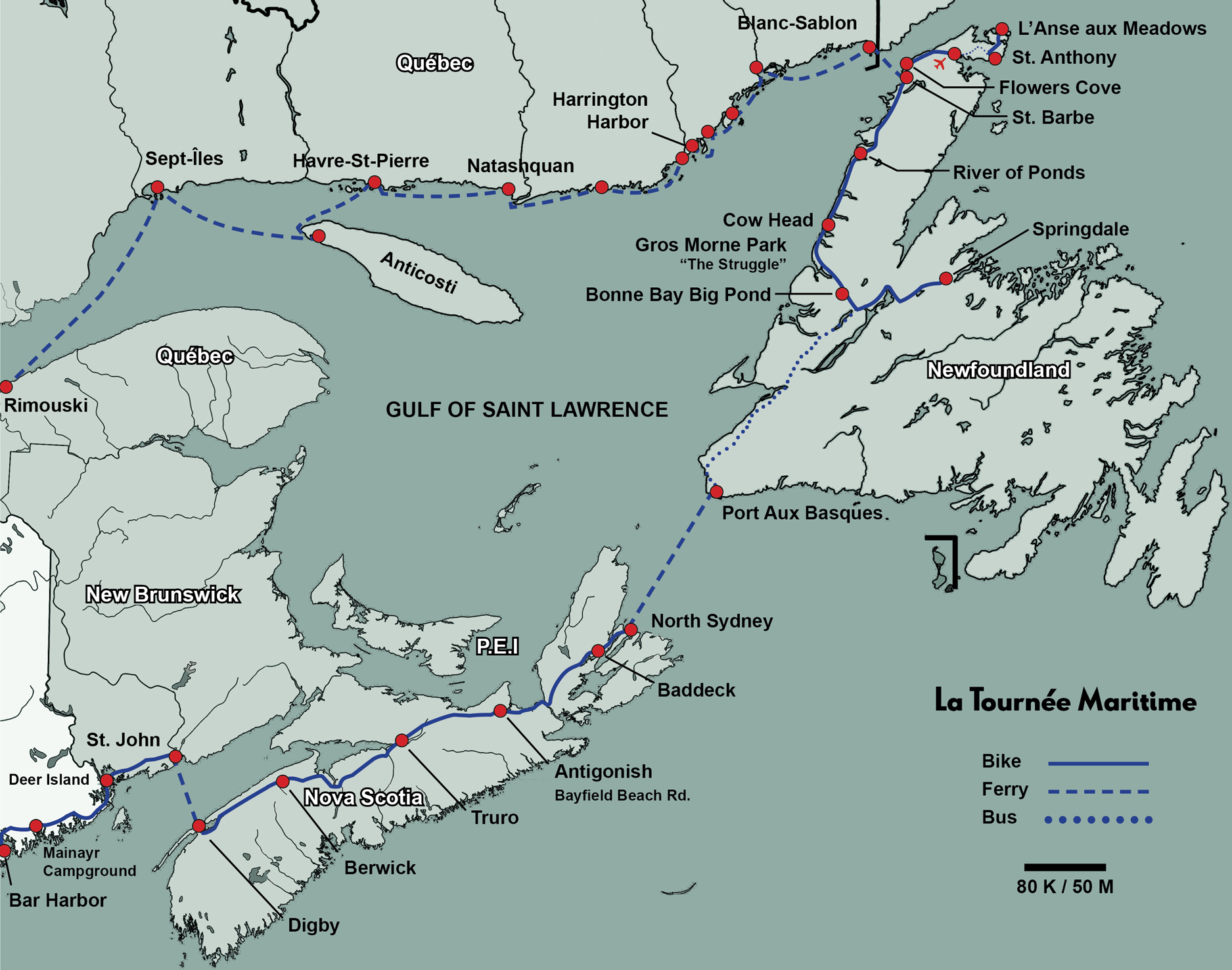
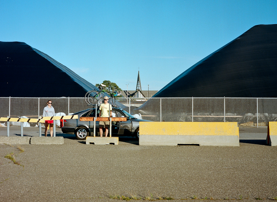
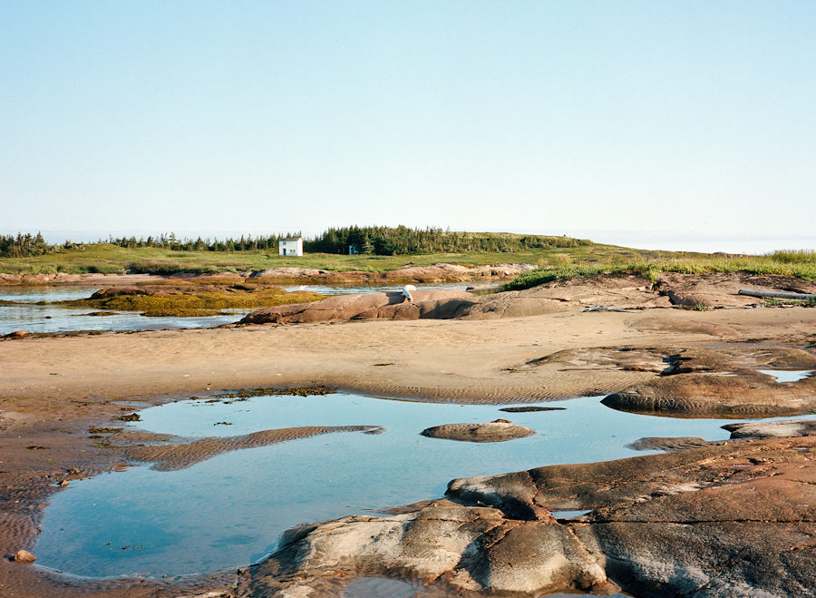
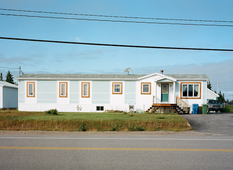
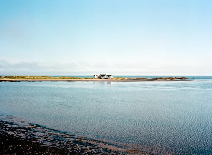
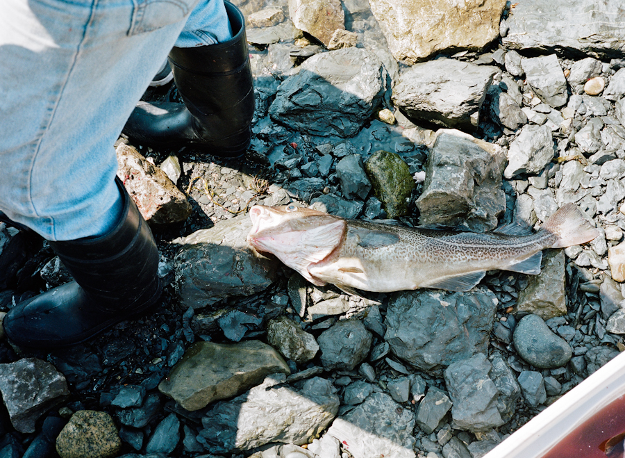
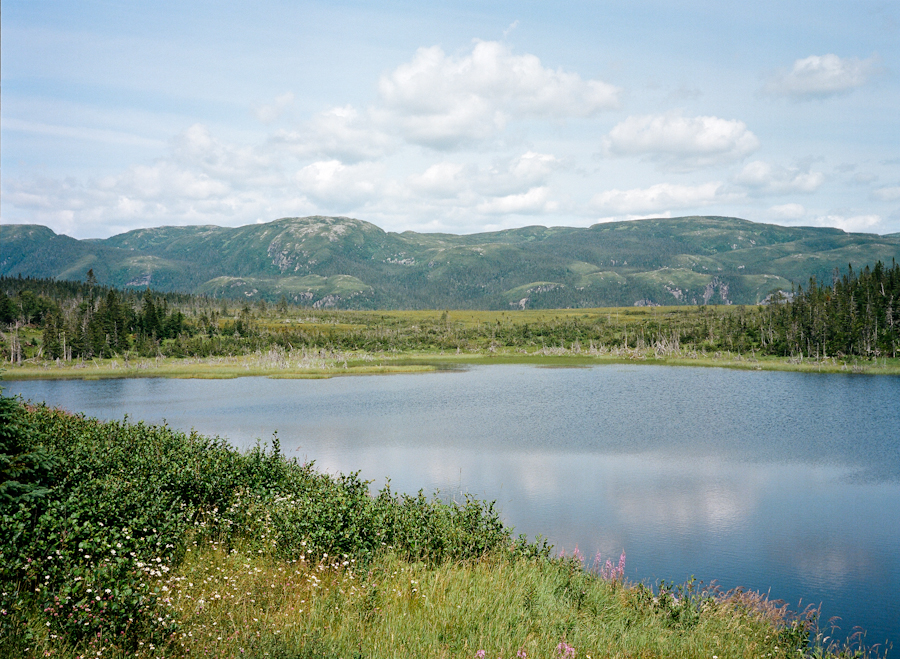
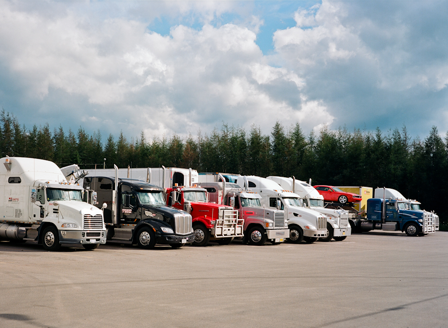
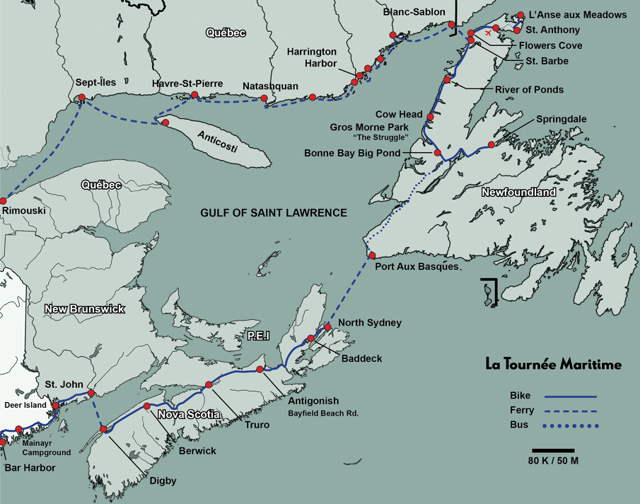
In July and August of 2013 I spent four weeks riding a bike, ferries and buses through the Maritime Provinces of Canada and northern Maine. I was joined by a seasoned rider and outdoorsman, Ben Taylor, and together we rode just over 1000 miles around the Gulf of Saint Lawrence. While we often set up camp after dark and ate whatever calories we could find in gas stations, it was difficult to refuse the extreme generosity of the Canadians who invited us into their homes and campsites, shared their knowledge of local history and lore, and kept us up late into the night with acoustic sing-a-longs and whiskey. We traveled with two heavy B.O.B. steel trailers, fifteen rolls of 120 film, and a variety of boil-in-bag Indian delights provided by Tasty Bite—which lead to our coining of the hashtag: #tastybike. Overall, Ben was patient with my amateur riding and frequent photo stops, the results of which follow below:

La Tournée Maritime

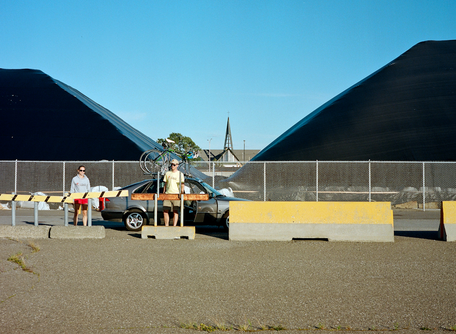
The tour along our course moves clockwise from Rimouski, Québec to Bar Harbor, Maine.

La Tournée Maritime

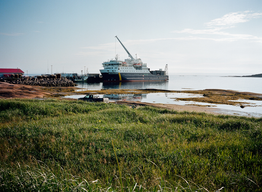
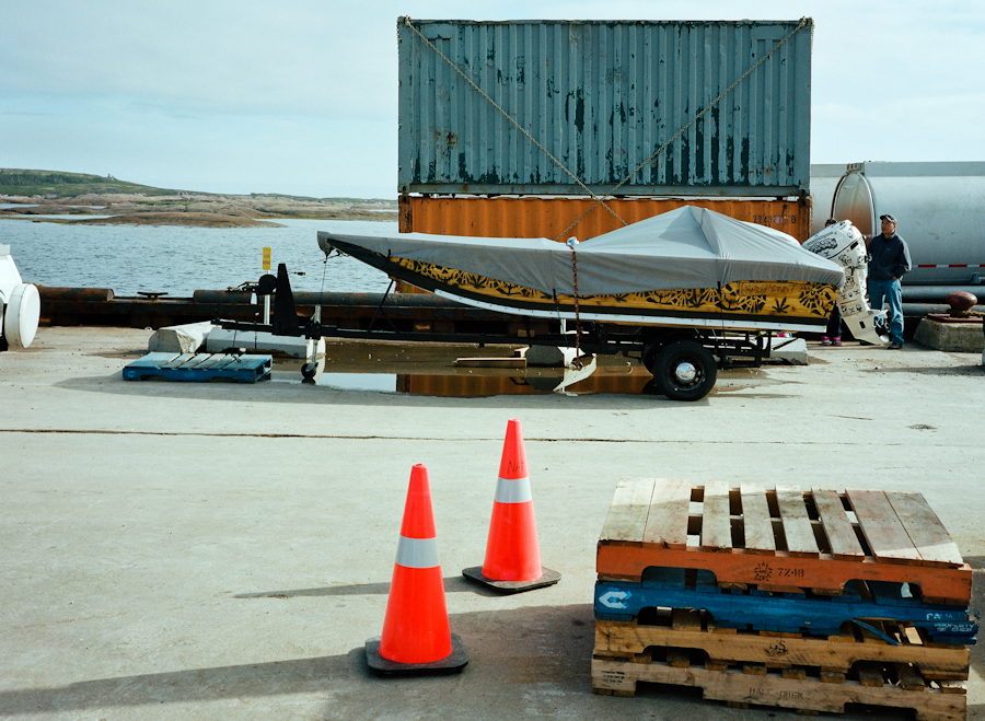
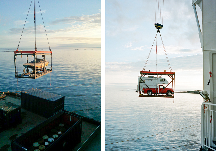
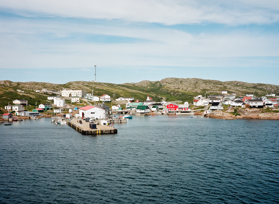
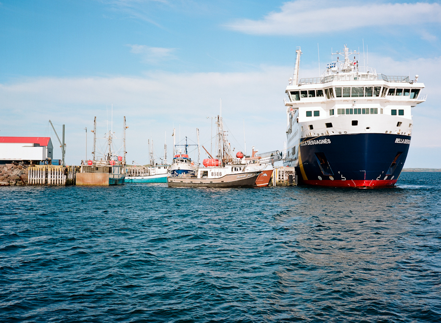
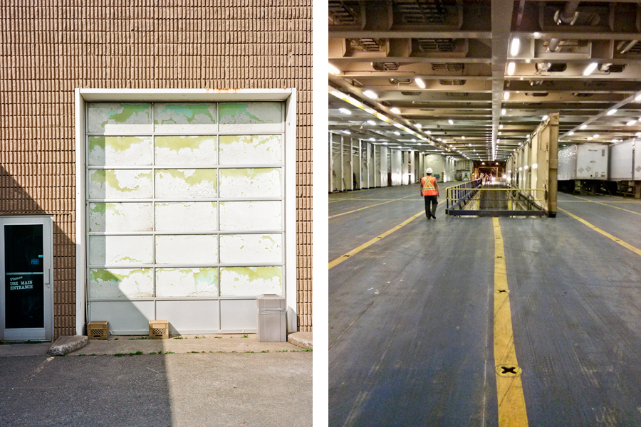
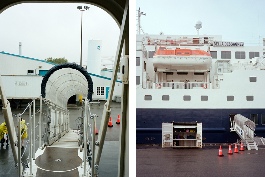
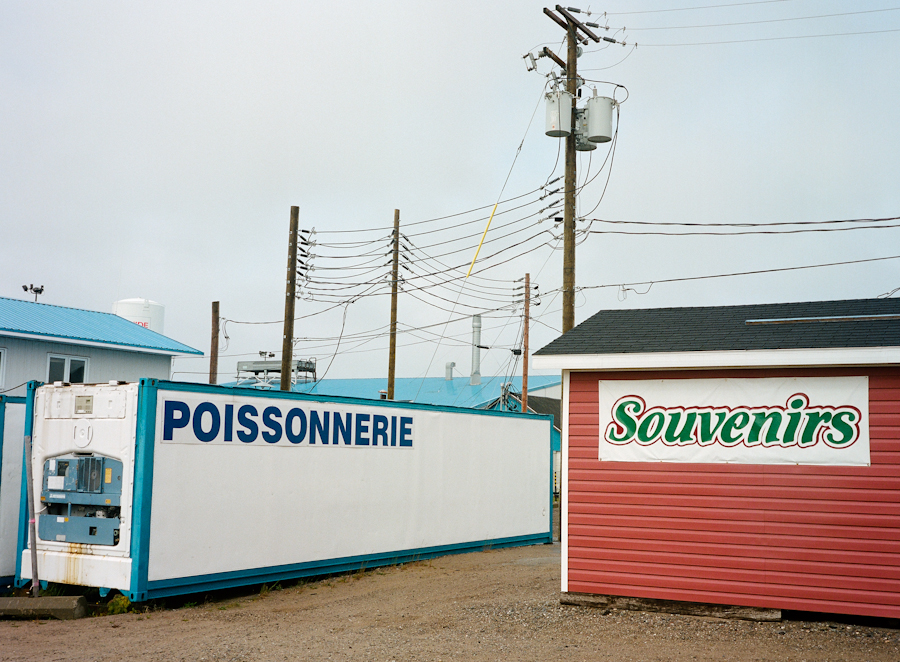
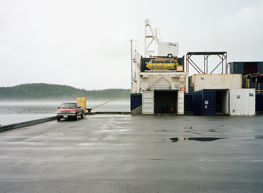
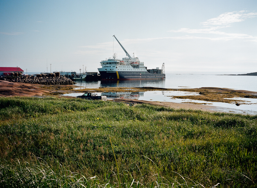
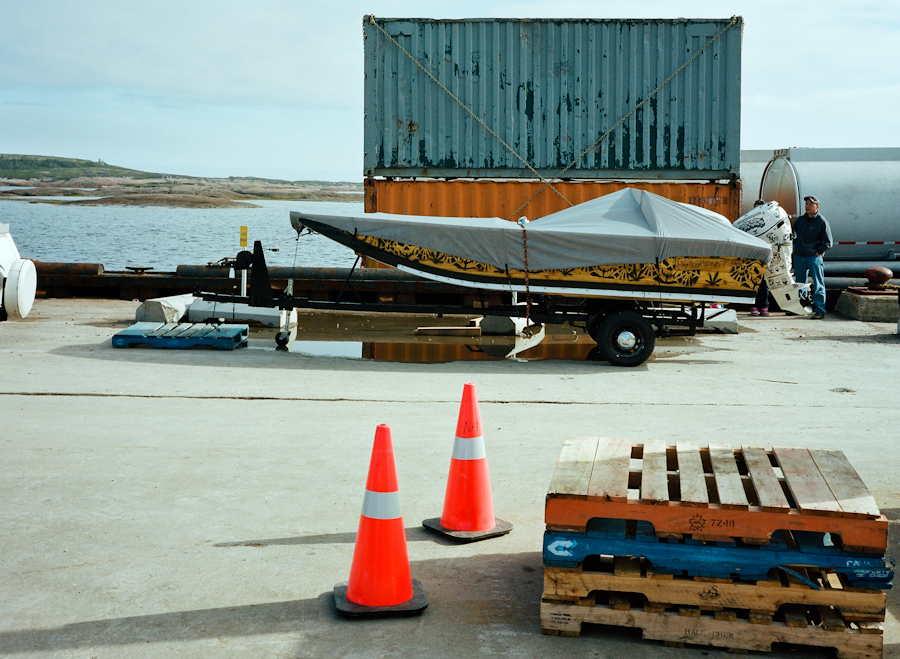
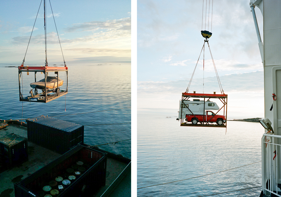
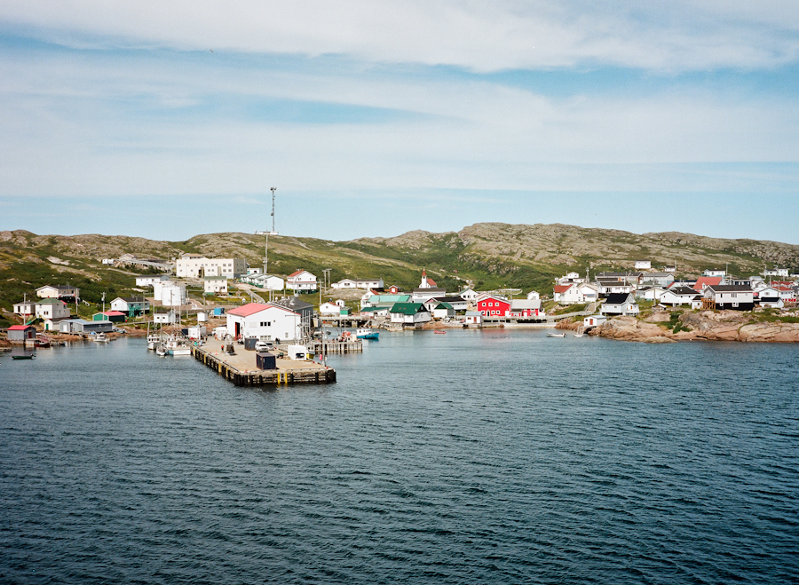
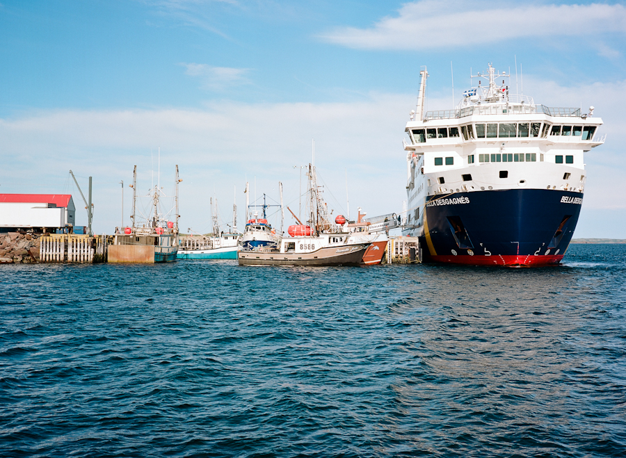
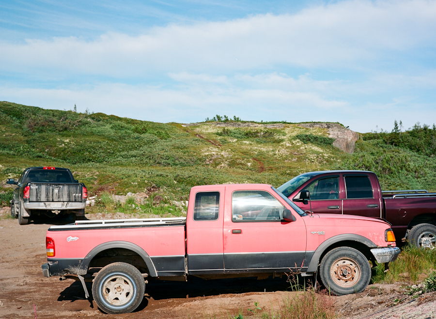
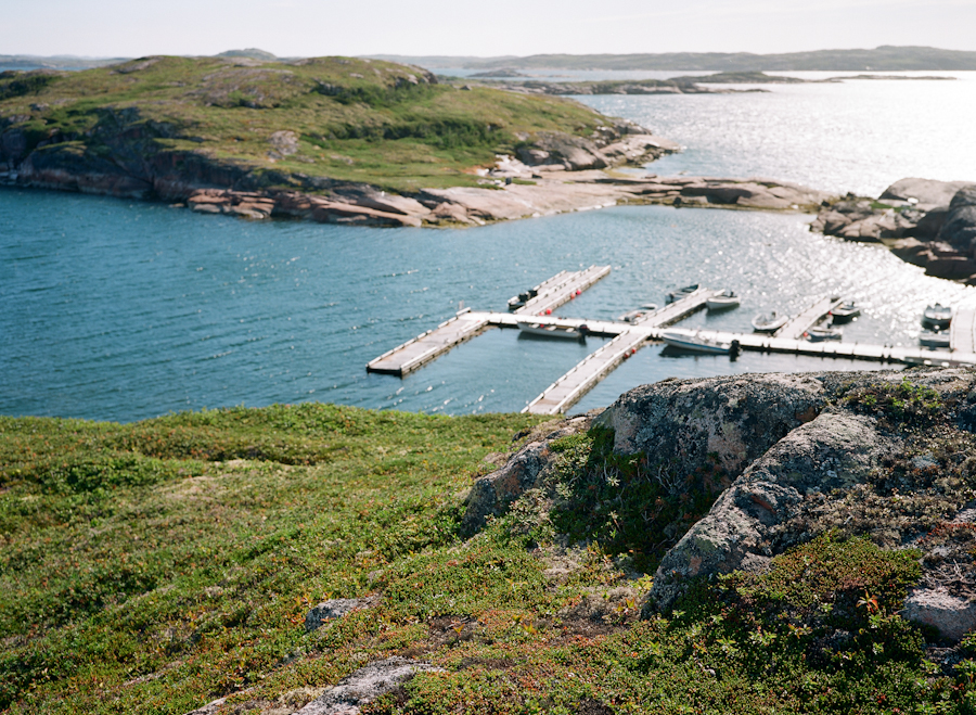
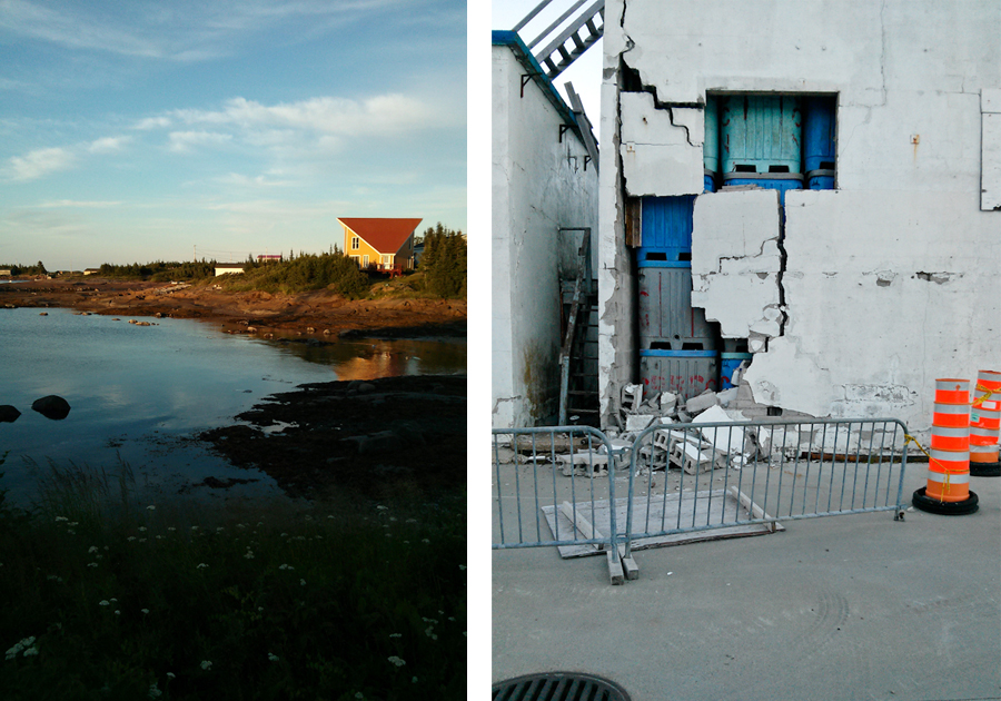
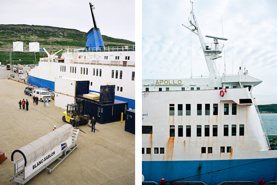
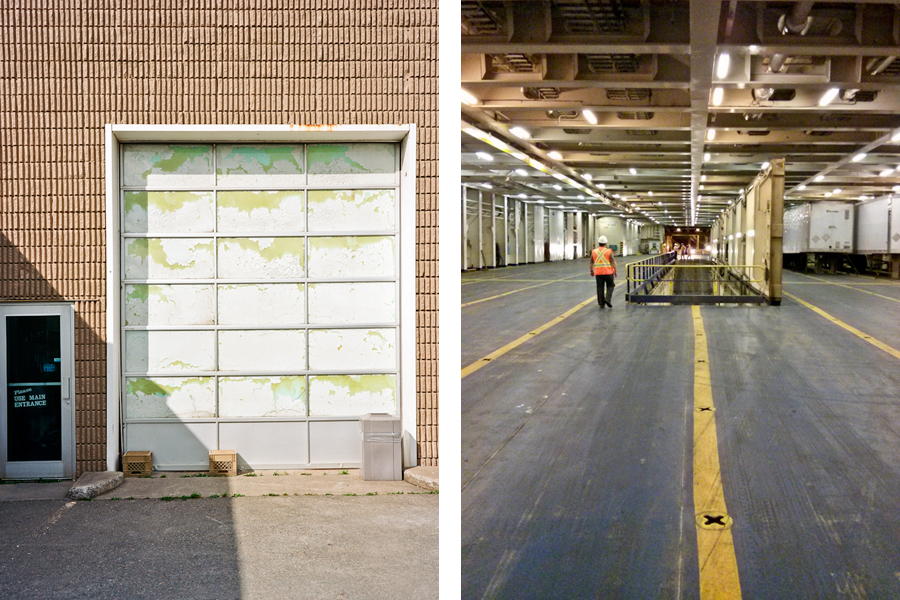
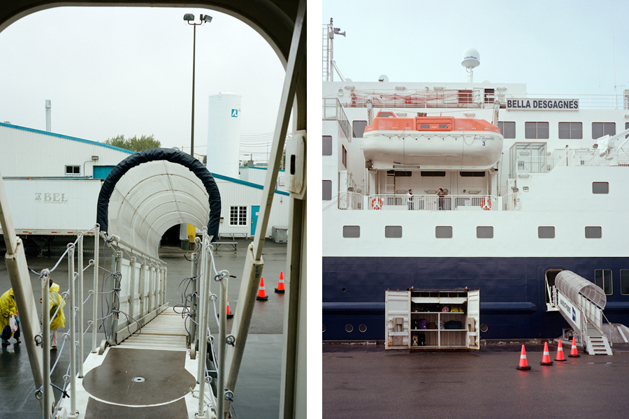
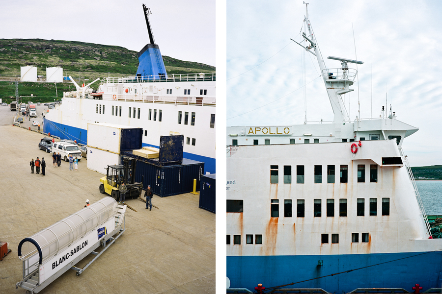
Beth drove me and Ben to the Port of Rimouski where we boarded a ferry/container boat that carried us for four days along the northern shore of the St. Lawrence. Along the way, the "Bella Desgagnés" stopped in twelve ports to deliver provisions and passengers before arriving at Blanc Sablon: the easternmost community in Québec, on the boarder of Labrador. This ship runs regularly and its services are critical beyond Natashquan, which is the terminal community of the highway Route Jacques Cartier 138.


Havre-Saint-Pierre, Québec
La Tournée Maritime


La Tournée Maritime


La Tournée Maritime


La Tournée Maritime


La Tournée Maritime


Natashquan, Québec

La Tournée Maritime


La Tournée Maritime


La Tournée Maritime


La Tournée Maritime


La Tournée Maritime


La Tournée Maritime


La Tournée Maritime


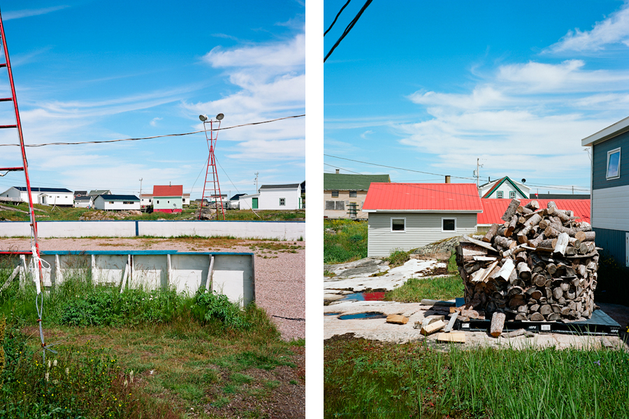
Harrington Harbour, Québec
La Tournée Maritime


La Tournée Maritime


La Tournée Maritime


La Tournée Maritime


La Tournée Maritime


La Tournée Maritime


La Tournée Maritime


La Tournée Maritime


Tête-à-la-Baleine, Québec

La Tournée Maritime


La Tournée Maritime


La Tournée Maritime


La Tournée Maritime


La Tabatière, Québec

La Tournée Maritime


Blanc Sablon: the easternmost community in Québec and ferry-port for crossing to Newfoundland.
La Tournée Maritime


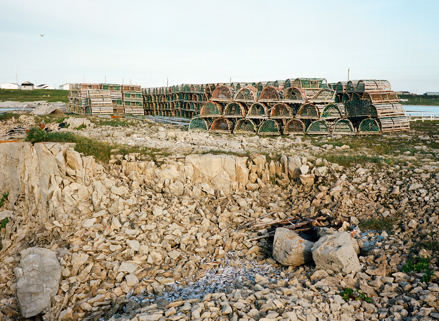
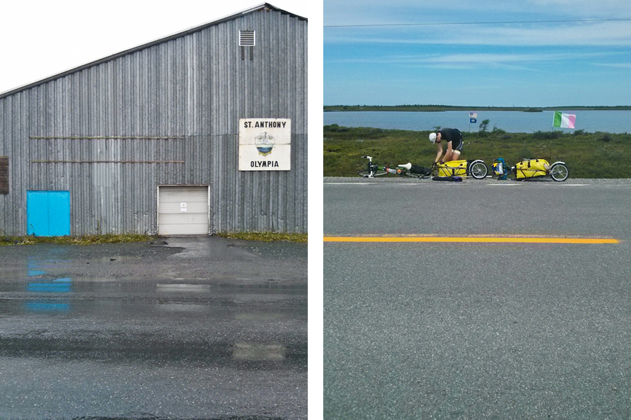
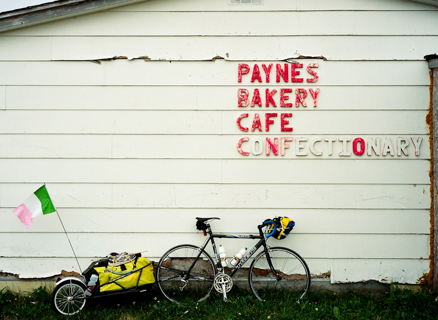
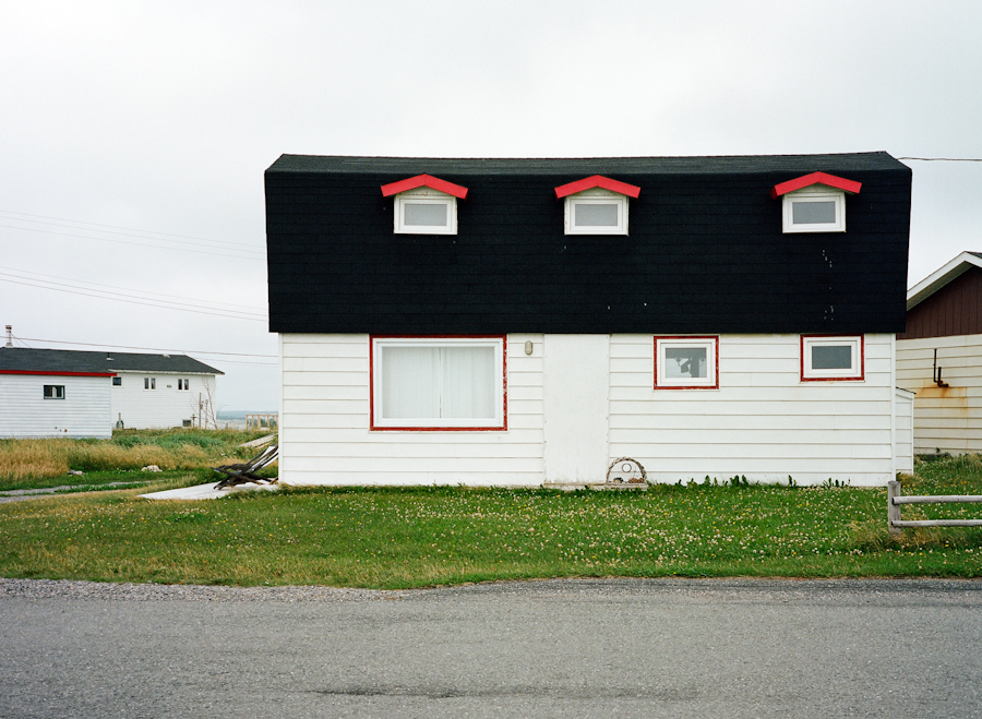
Flower's Cove, Newfoundland

La Tournée Maritime


La Tournée Maritime


La Tournée Maritime


La Tournée Maritime


La Tournée Maritime


La Tournée Maritime


La Tournée Maritime


La Tournée Maritime


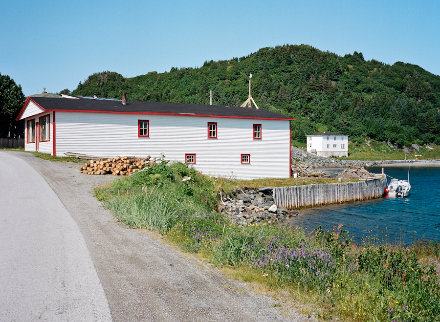
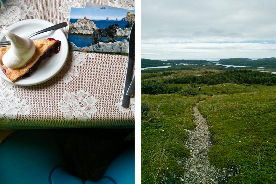
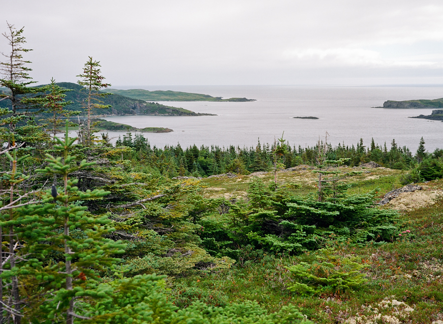
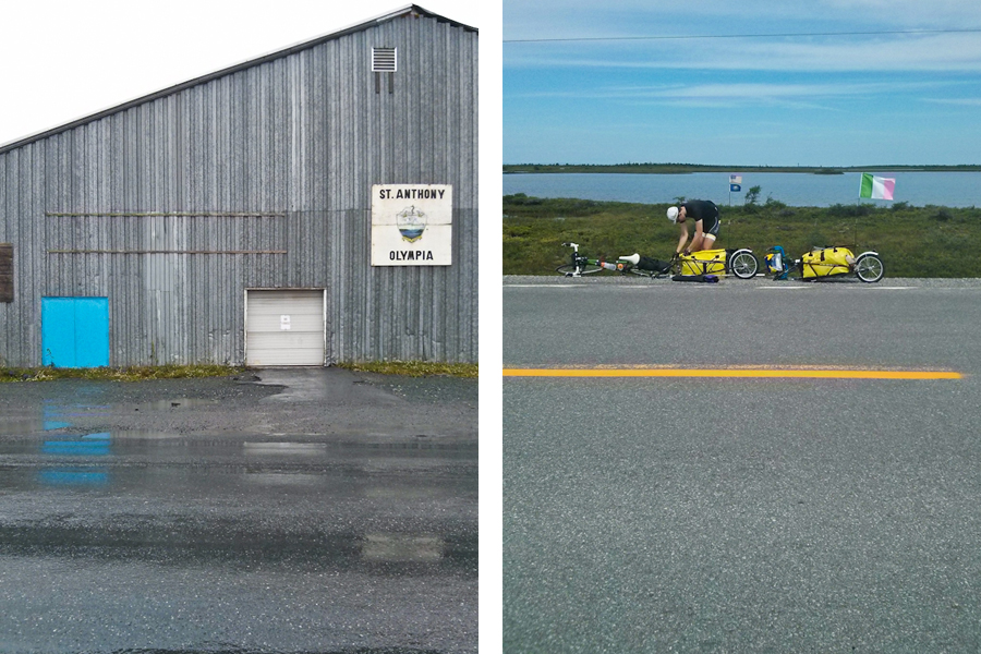
St. Anthony and L'Anse aux Meadows, Newfoundland
La Tournée Maritime


La Tournée Maritime


La Tournée Maritime


La Tournée Maritime


La Tournée Maritime


La Tournée Maritime


La Tournée Maritime

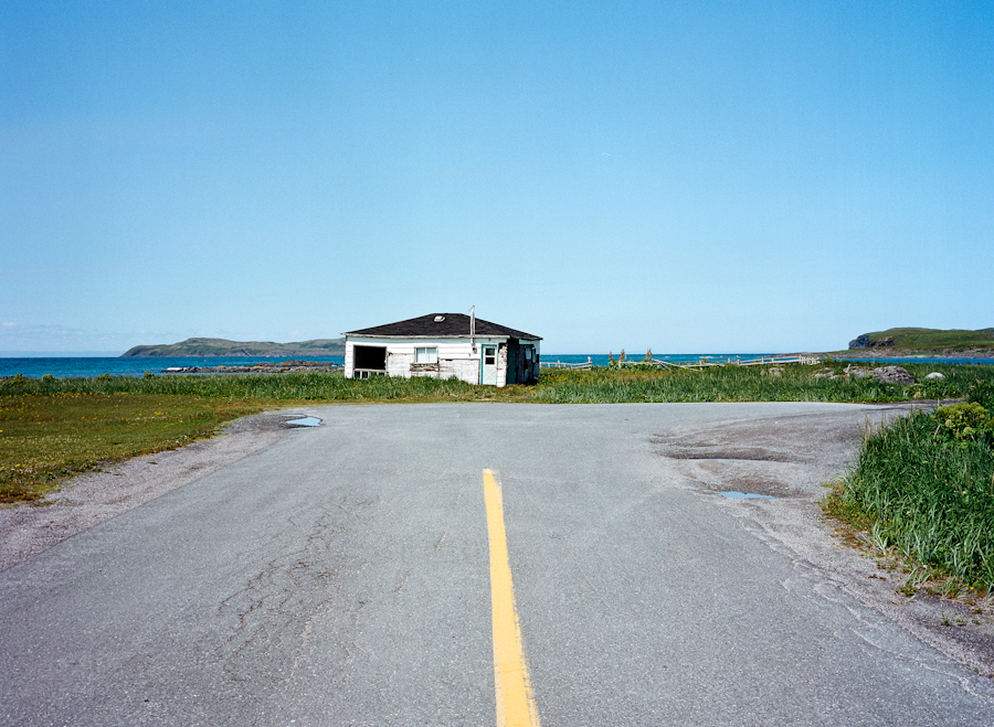
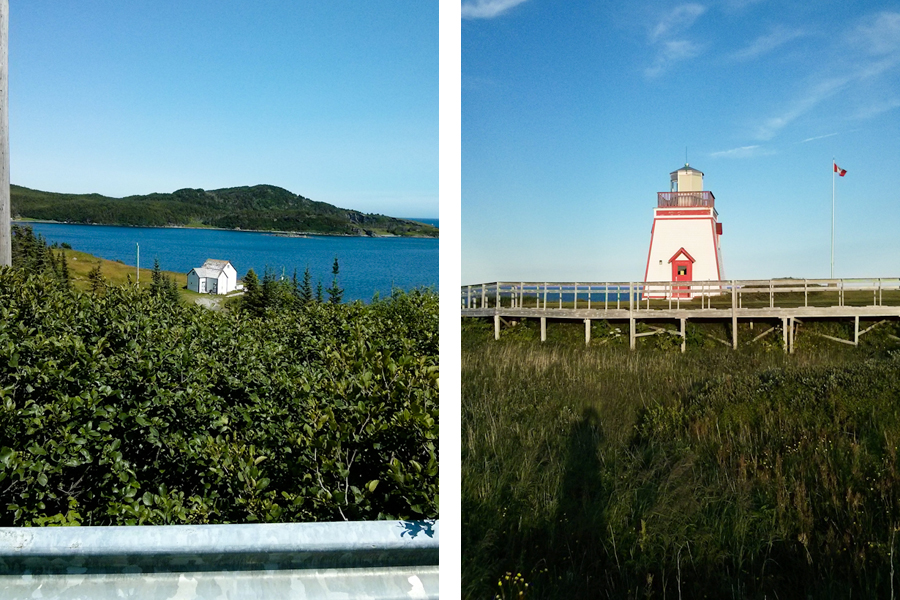
The house at the end of the road. (the nothernmost point in Newfoundland)

La Tournée Maritime


River of Ponds, Newfoundland

La Tournée Maritime


La Tournée Maritime


La Tournée Maritime


La Tournée Maritime


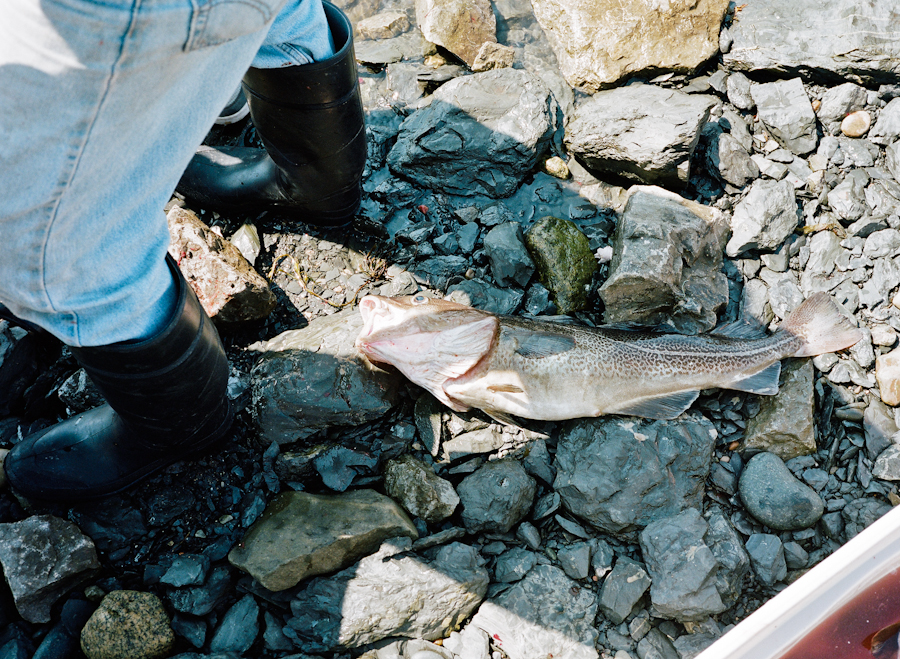
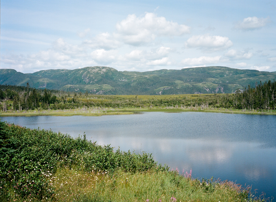
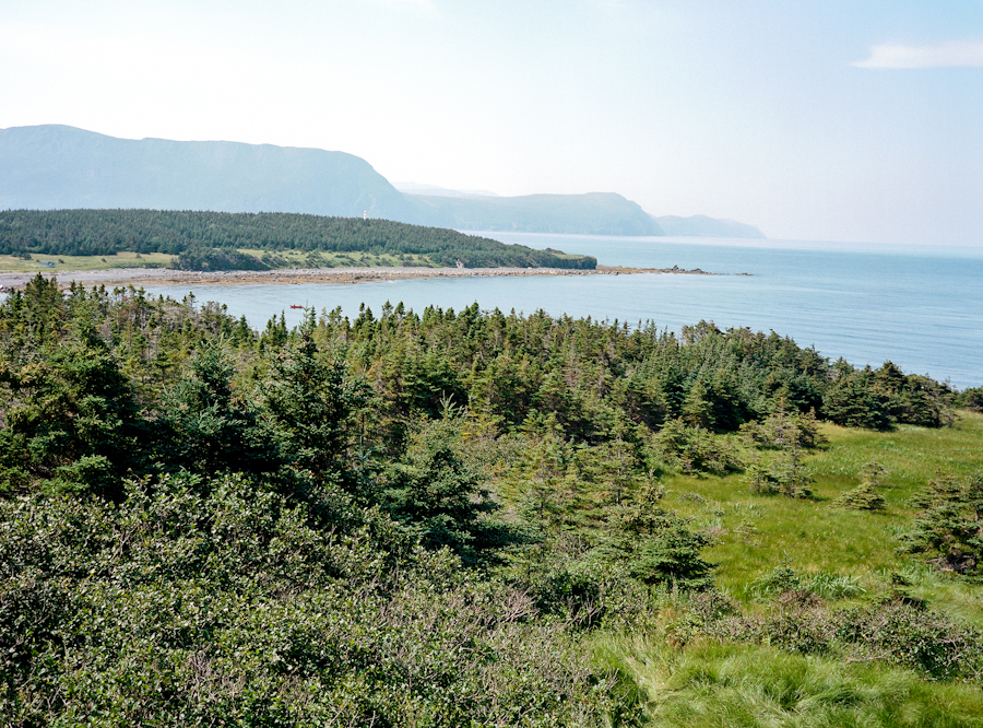
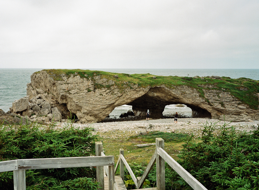
Cow Head to Gros Morne National Park, Newfoundland
La Tournée Maritime


La Tournée Maritime


La Tournée Maritime


La Tournée Maritime


La Tournée Maritime


La Tournée Maritime


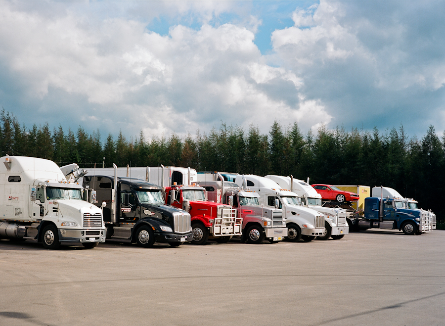
Deer Lake and Port Aux Basques, Newfoundland
La Tournée Maritime


La Tournée Maritime


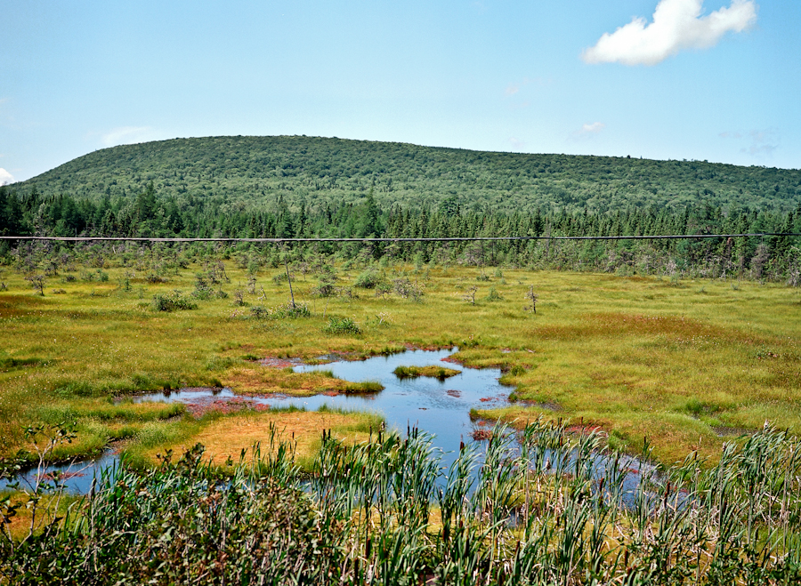
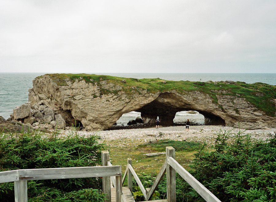
Cape Breton Island, Nova Scotia

La Tournée Maritime


La Tournée Maritime


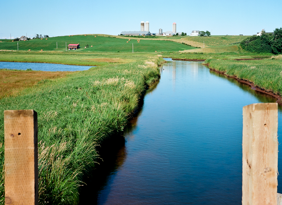
Bayfield Beach Road, Antigonish, Nova Scotia
La Tournée Maritime


La Tournée Maritime


La Tournée Maritime


La Tournée Maritime


La Tournée Maritime


La Tournée Maritime


La Tournée Maritime


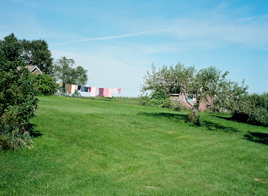
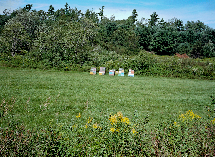
Truro to Digby, Nova Scotia: along the Bay of Fundy to the ferry-port for Saint John, New Brunswick
La Tournée Maritime


La Tournée Maritime


La Tournée Maritime


La Tournée Maritime


La Tournée Maritime


La Tournée Maritime


La Tournée Maritime


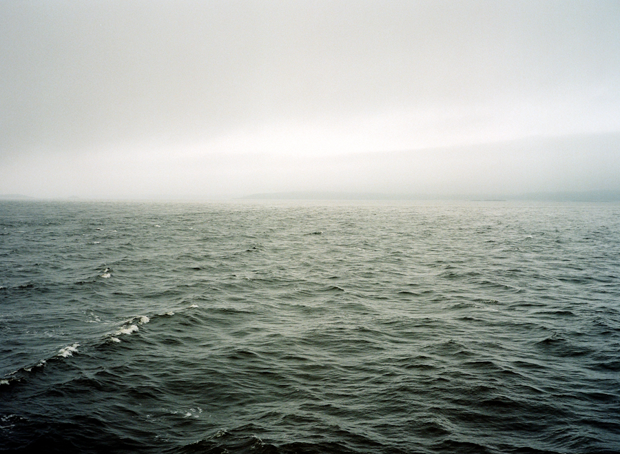
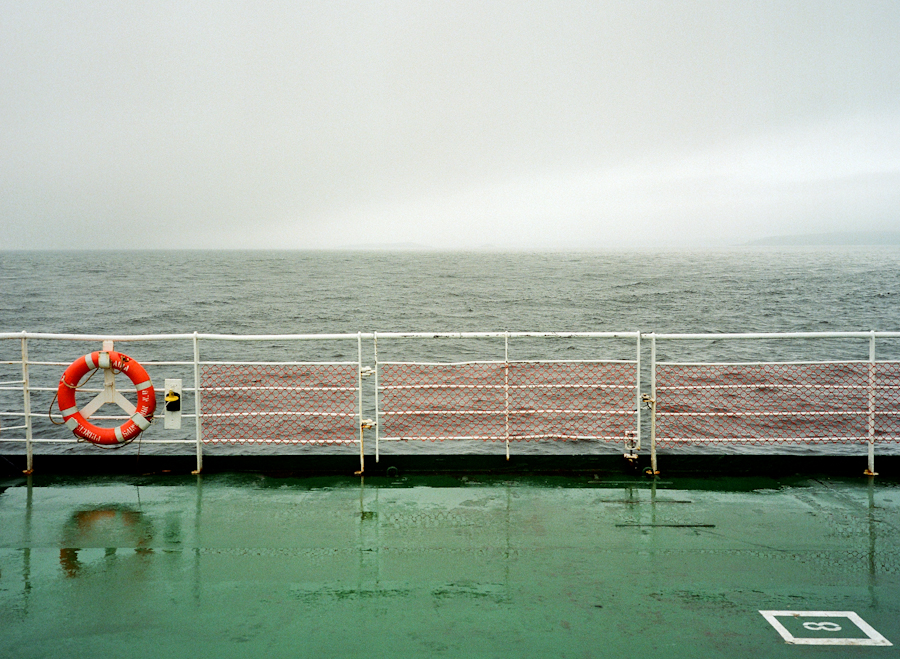
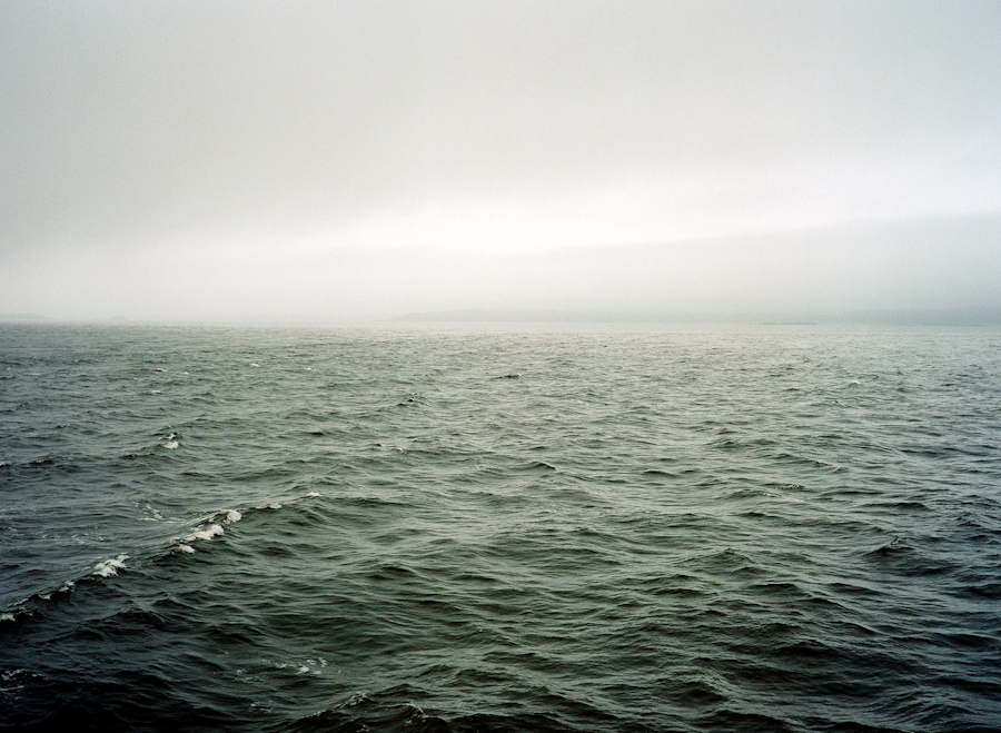
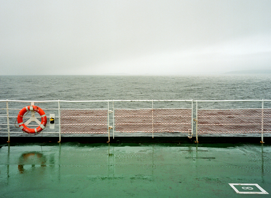
Crossing the Bay of Fundy

La Tournée Maritime


La Tournée Maritime


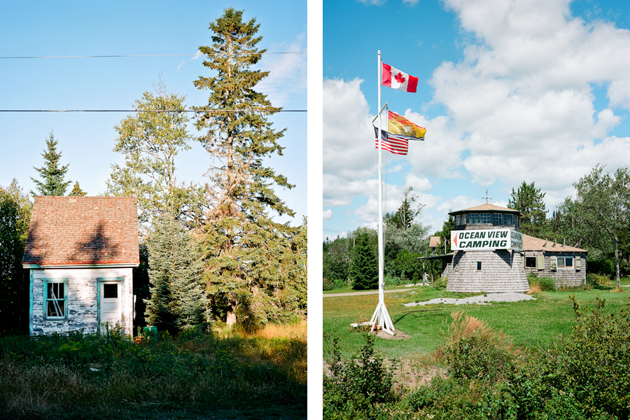
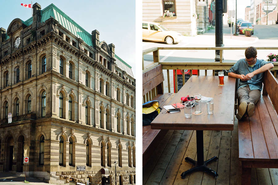
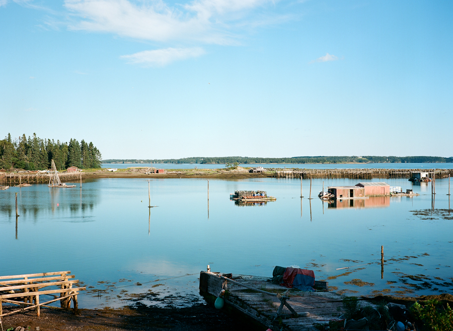
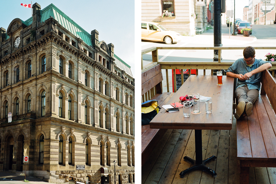
St. John, via Letete and Deer Island, New Brunswick, to the Canada U.S. border crossing at Lubec, ME
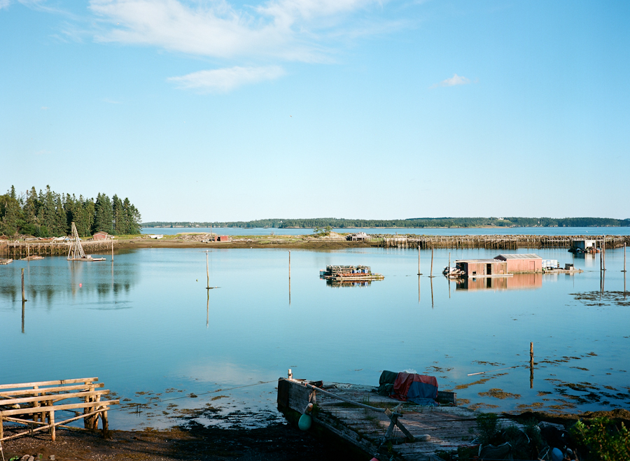
La Tournée Maritime


La Tournée Maritime


La Tournée Maritime

Gloucester, Massachusetts

Good Harbor Beach


Gloucester, Massachusetts


Gloucester, Massachusetts

July 19, 2013

Narragansett, Rhode Island


Narragansett, Rhode Island

Wesquage Pond Wildlife Refuge, Bonnet Point Rd.


Narragansett, Rhode Island


Narragansett, Rhode Island

Cape Cod, Massachusetts

Wellfleet, MA.


Cape Cod, Massachusetts


Cape Cod, Massachusetts

Cape Cod National Seashore: Provincetown, MA.


Cape Cod, Massachusetts


Cape Cod, Massachusetts

Old Harbor Life-Saving Station: Race Point, Cape Cod


Plum Island, MA.

Sandy Point State Reservation


Plum Island, MA.


Plum Island, MA.


Plum Island, MA.

birthday boy


Plum Island, MA.


Plum Island, MA.


Plum Island, MA.

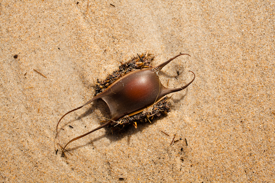
egg case


Plum Island, MA.


Plum Island, MA.


Plum Island, MA.


Hampton Beach, New Hampshire

Plum Island, MA.

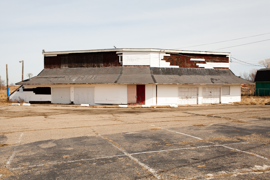
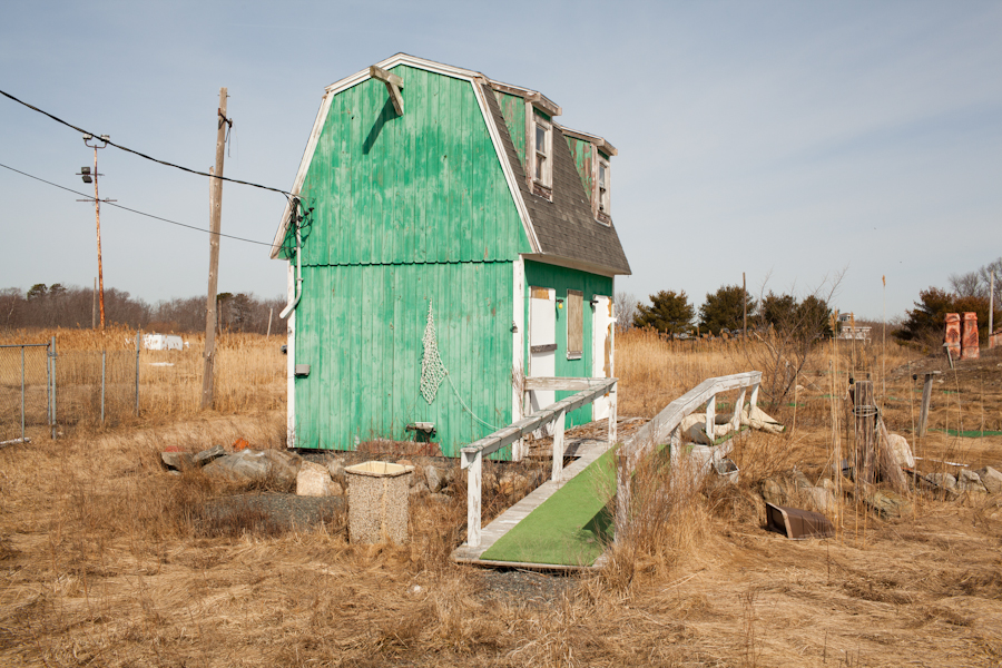
mini golf ruin


Plum Island, MA.


Plum Island, MA.

Essex, Massachusetts II

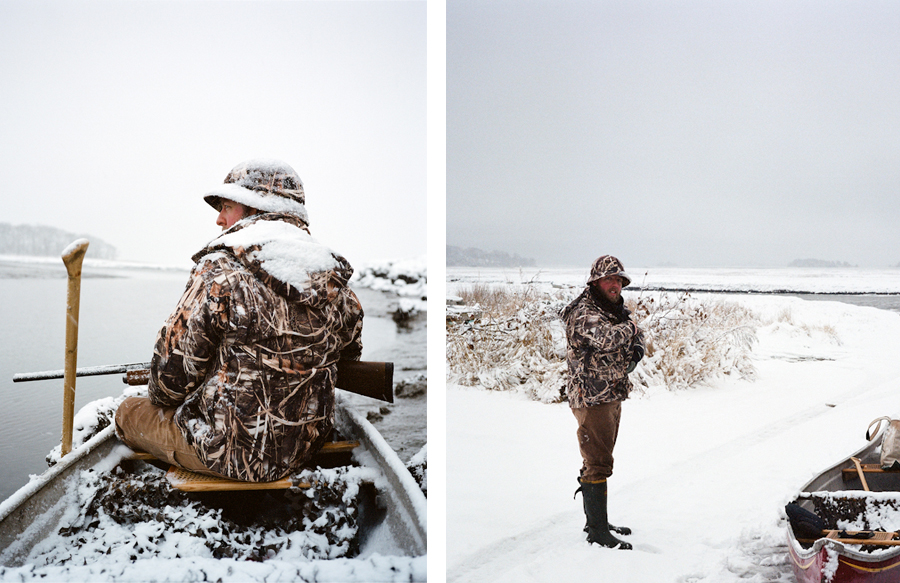
John Davis


Essex, Massachusetts II

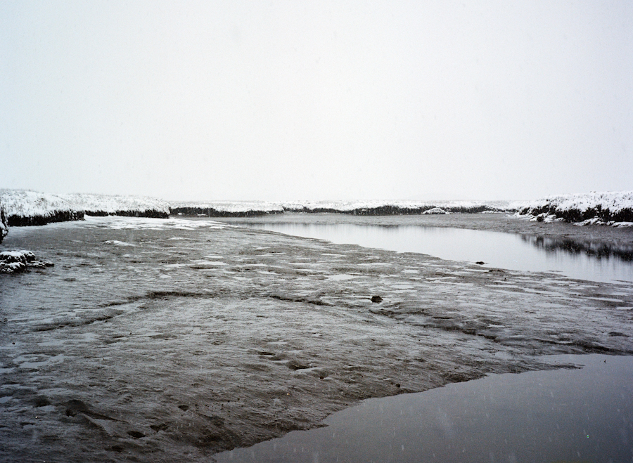
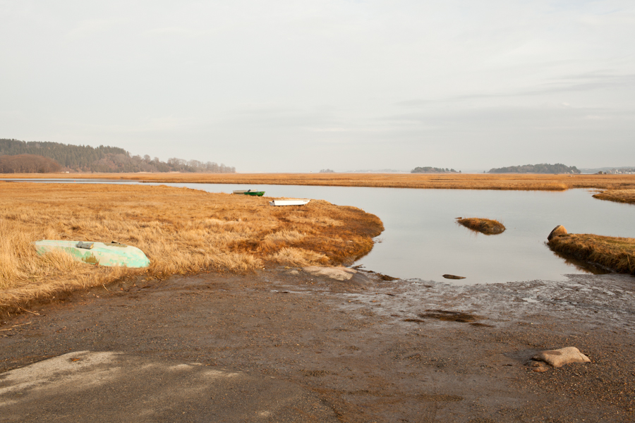
Essex Bay, low tide


Essex, Massachusetts II

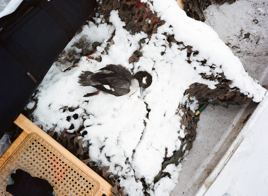
second kill: Bufflehead

San Francisco, California


Point Reyes National Seashore

San Francisco, California


San Francisco, California


San Francisco, California


San Francisco, California


San Francisco, California


San Francisco, California


San Francisco, California


San Francisco, California


San Francisco, California


San Francisco, California


San Francisco, California


San Francisco, California


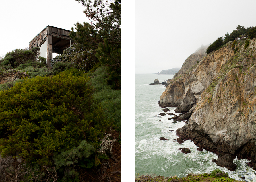
Spindrift Point, Muir Beach

San Francisco, California


San Francisco, California


San Francisco, California


San Francisco, California


San Francisco, California


San Francisco, California


San Francisco, California


San Francisco, California

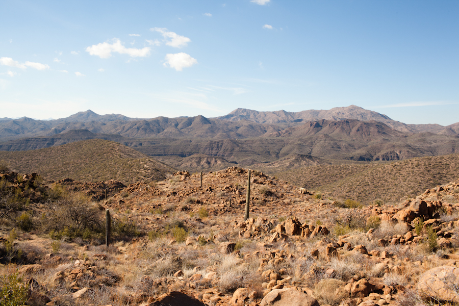
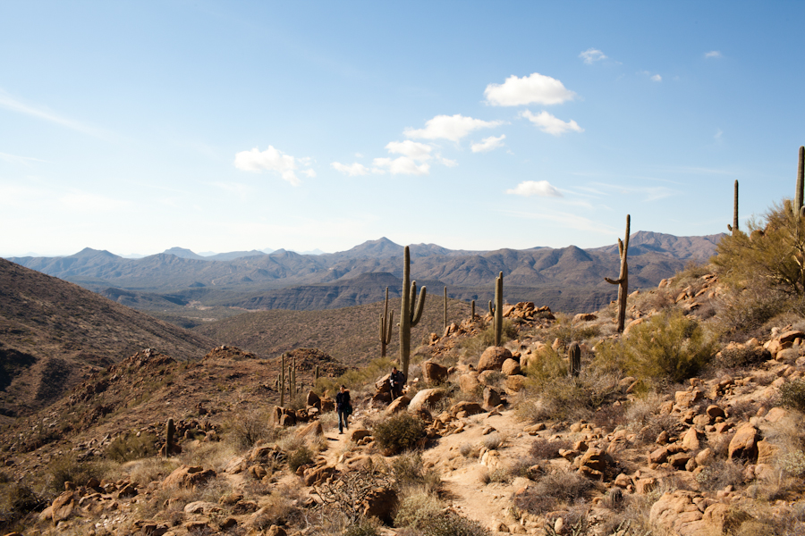
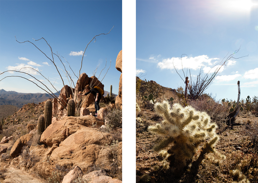
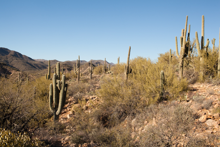
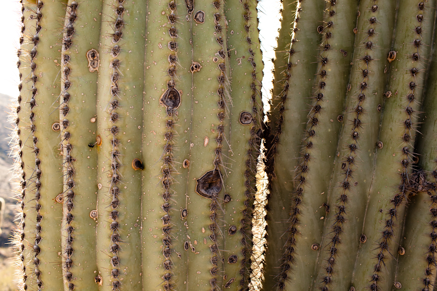
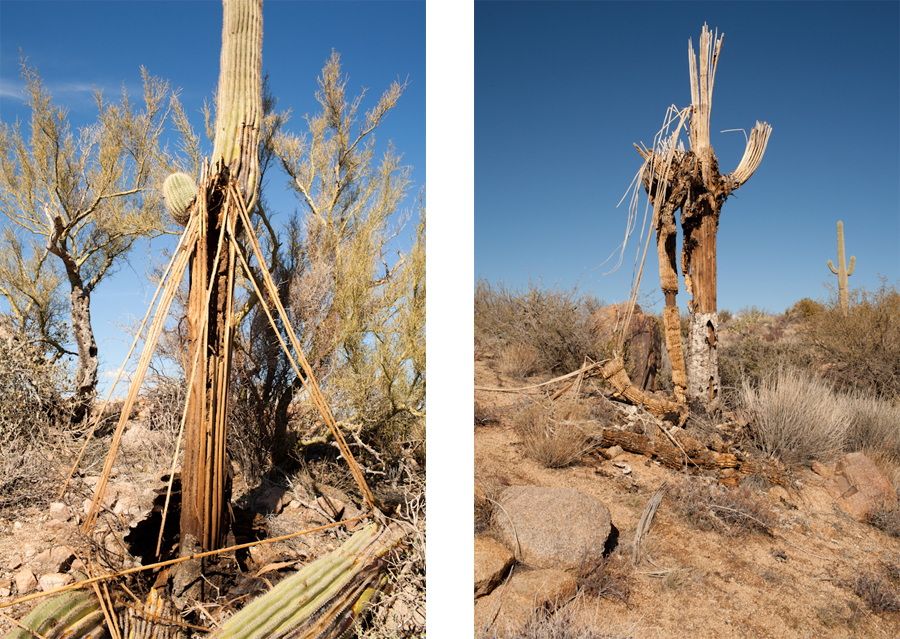
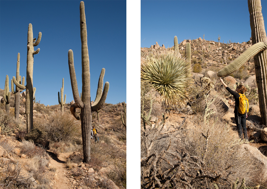
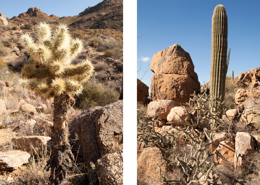
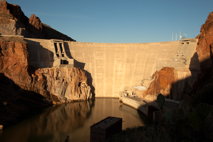
Tonto National Forest, Mesa, AZ.


Tonto National Forest, Mesa, AZ.


Tonto National Forest, Mesa, AZ.


Tonto National Forest, Mesa, AZ.


Tonto National Forest, Mesa, AZ.


Tonto National Forest, Mesa, AZ.


Tonto National Forest, Mesa, AZ.


Tonto National Forest, Mesa, AZ.


Tonto National Forest, Mesa, AZ.

Essex, Massachusetts


Essex, Massachusetts


Essex, Massachusetts


Essex, Massachusetts


Essex, Massachusetts


Essex, Massachusetts


Essex, Massachusetts


Essex, Massachusetts


Essex, Massachusetts


Essex, Massachusetts


Essex, Massachusetts


Essex, Massachusetts


Essex, Massachusetts


Essex, Massachusetts


Essex, Massachusetts


Essex, Massachusetts


Essex, Massachusetts


Essex, Massachusetts


Essex, Massachusetts


Essex, Massachusetts


Essex, Massachusetts


Essex, Massachusetts


Essex, Massachusetts


Essex, Massachusetts


Essex, Massachusetts


Essex, Massachusetts

Acadia National Park, Bar Harbor, Maine


Acadia National Park, Bar Harbor, Maine


Acadia National Park, Bar Harbor, Maine


Acadia National Park, Bar Harbor, Maine


Acadia National Park, Bar Harbor, Maine


Acadia National Park, Bar Harbor, Maine


Acadia National Park, Bar Harbor, Maine


Acadia National Park, Bar Harbor, Maine


Acadia National Park, Bar Harbor, Maine


Acadia National Park, Bar Harbor, Maine


Acadia National Park, Bar Harbor, Maine


Acadia National Park, Bar Harbor, Maine


Acadia National Park, Bar Harbor, Maine


Acadia National Park, Bar Harbor, Maine


Acadia National Park, Bar Harbor, Maine

Wellington State Park, Bristol, New Hampshire

Newfound Lake


Wellington State Park, Bristol, New Hampshire


Wellington State Park, Bristol, New Hampshire


Wellington State Park, Bristol, New Hampshire


Wellington State Park, Bristol, New Hampshire

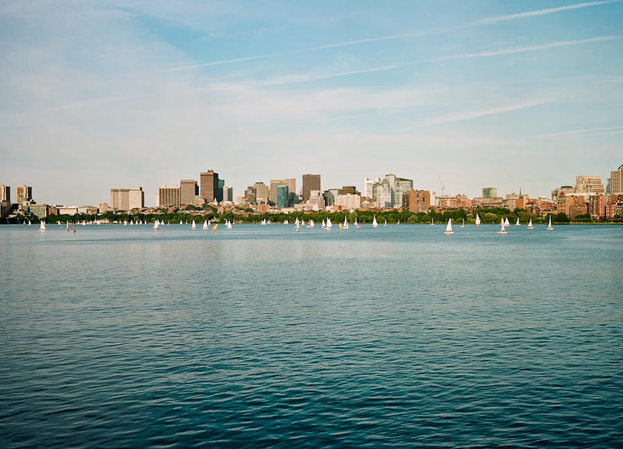
The Charles River, Cambridge


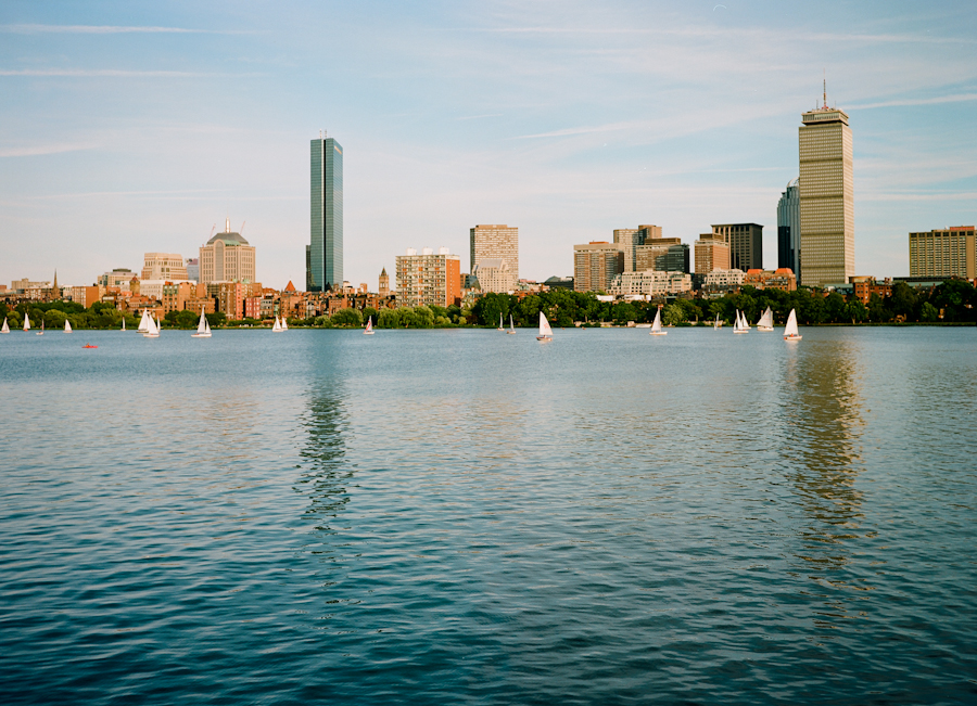
The Charles River, Cambridge


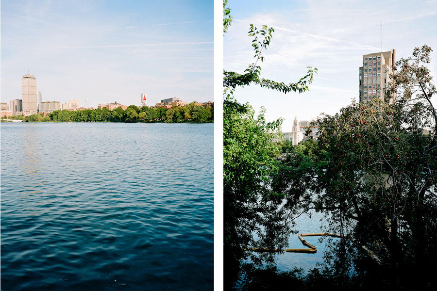
The Charles River, Cambridge


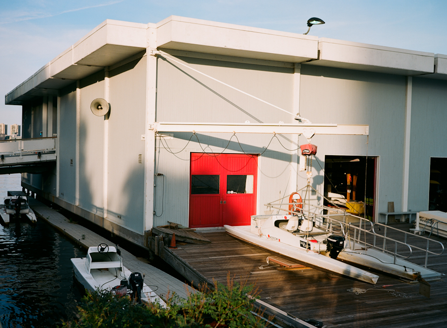
The Charles River, Cambridge


The Charles River, Cambridge

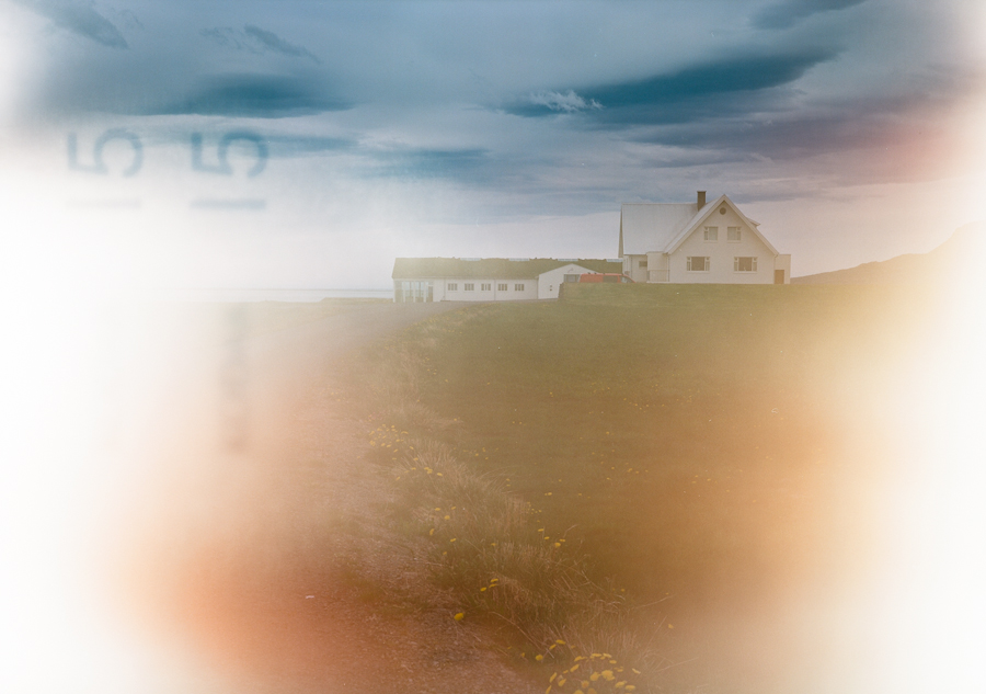
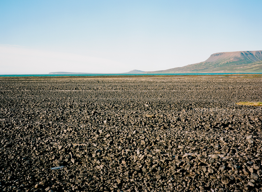
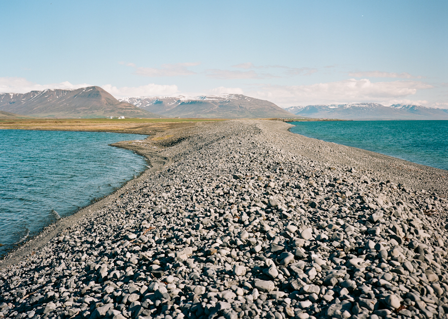
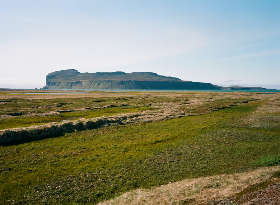
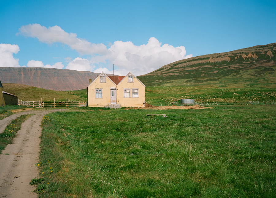
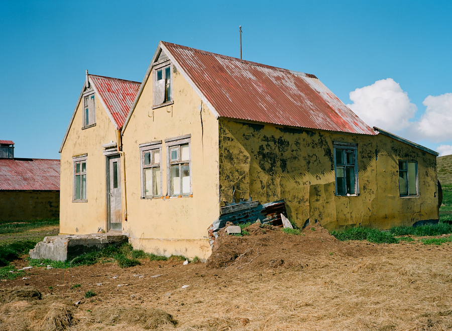
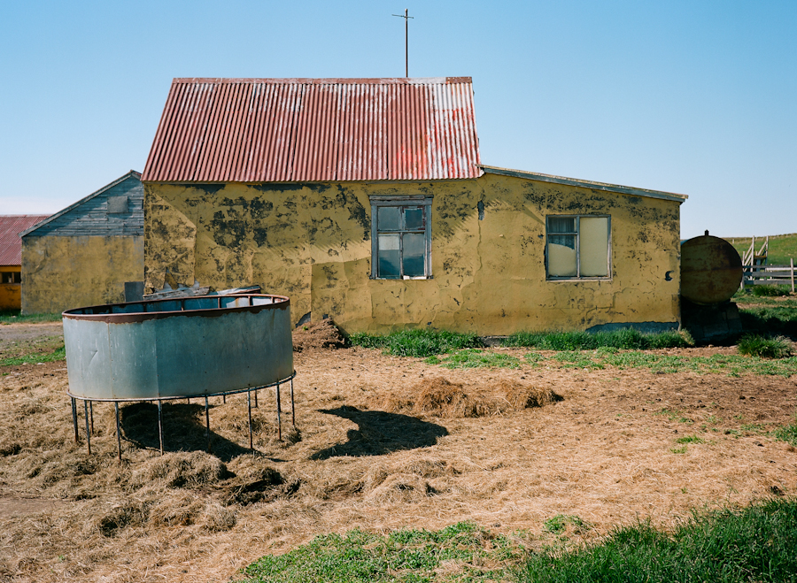
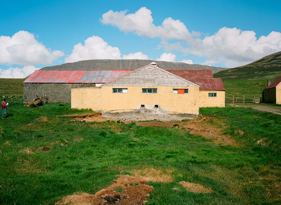
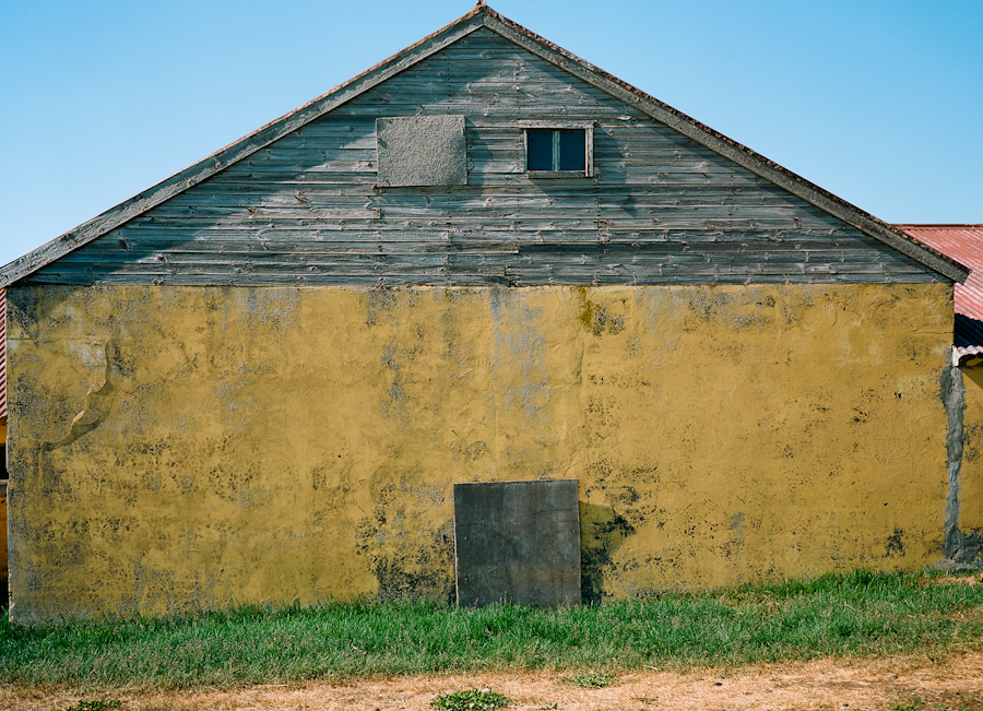
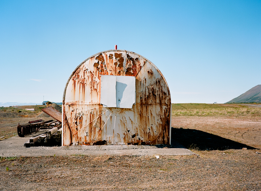
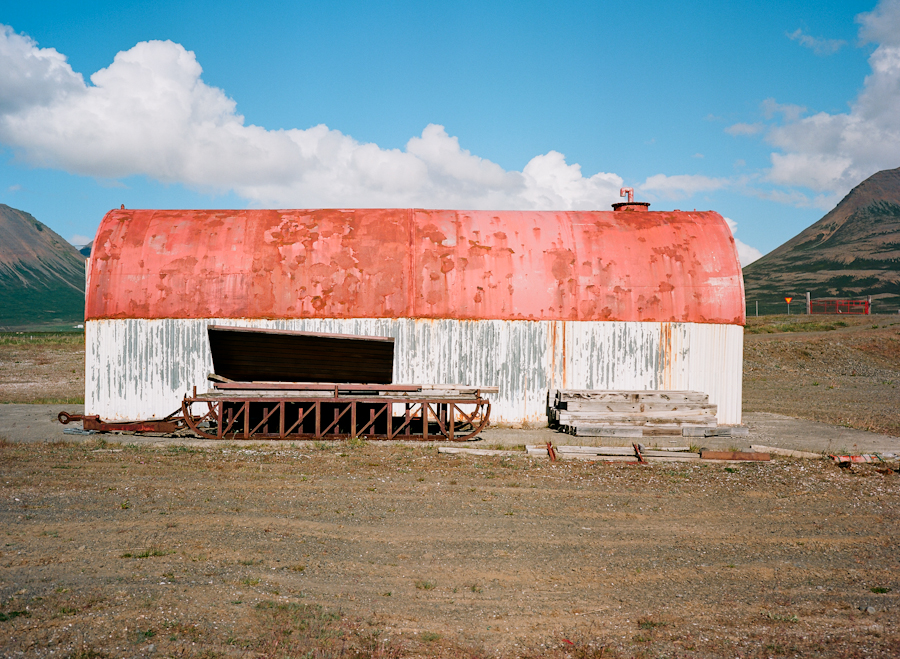
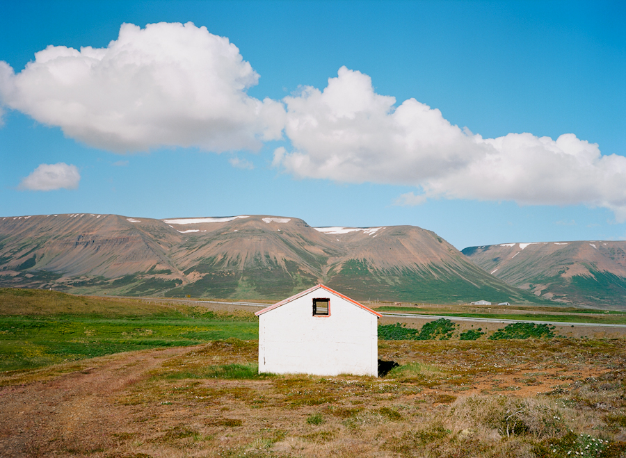
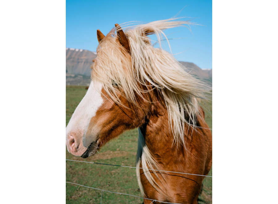
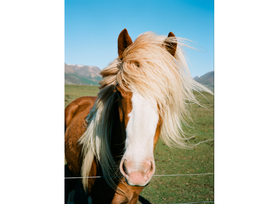
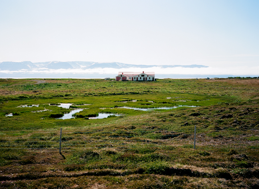
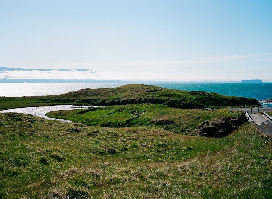
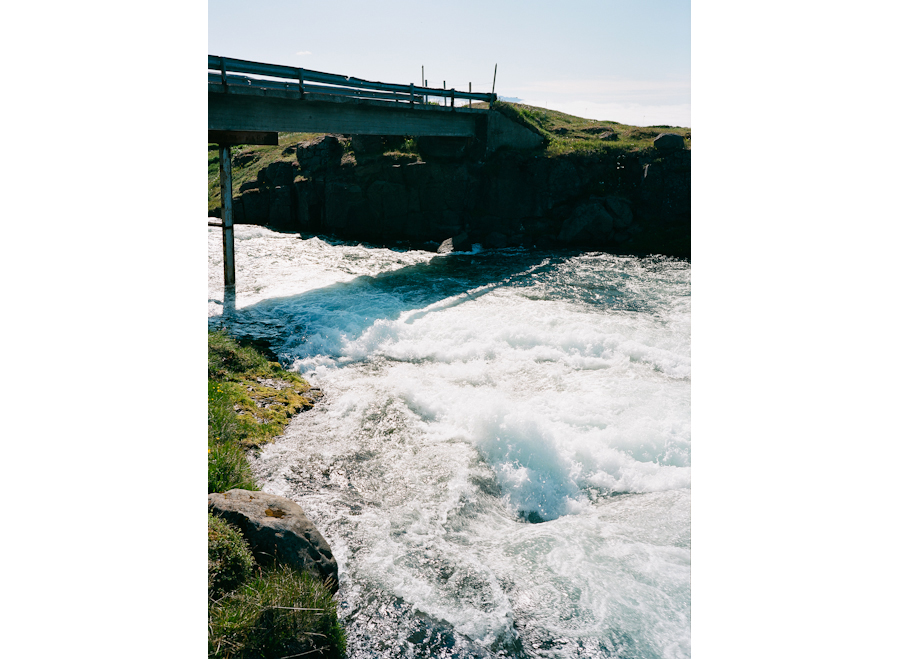
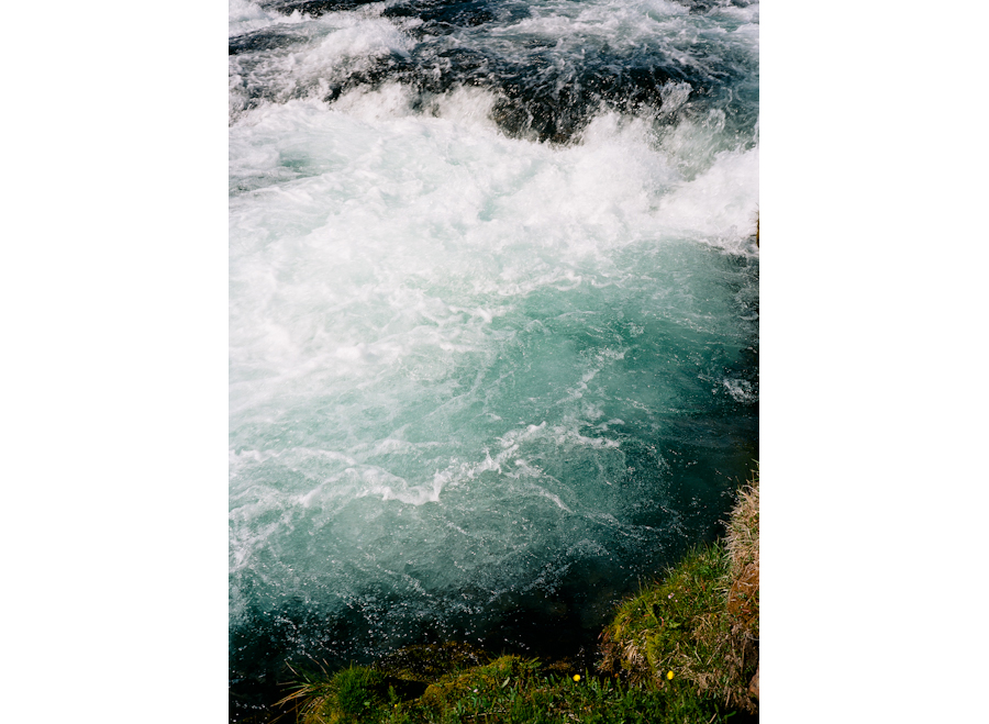
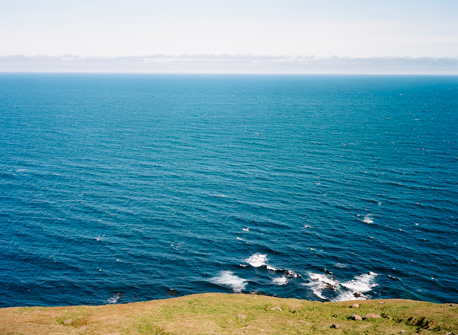
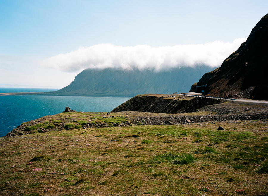
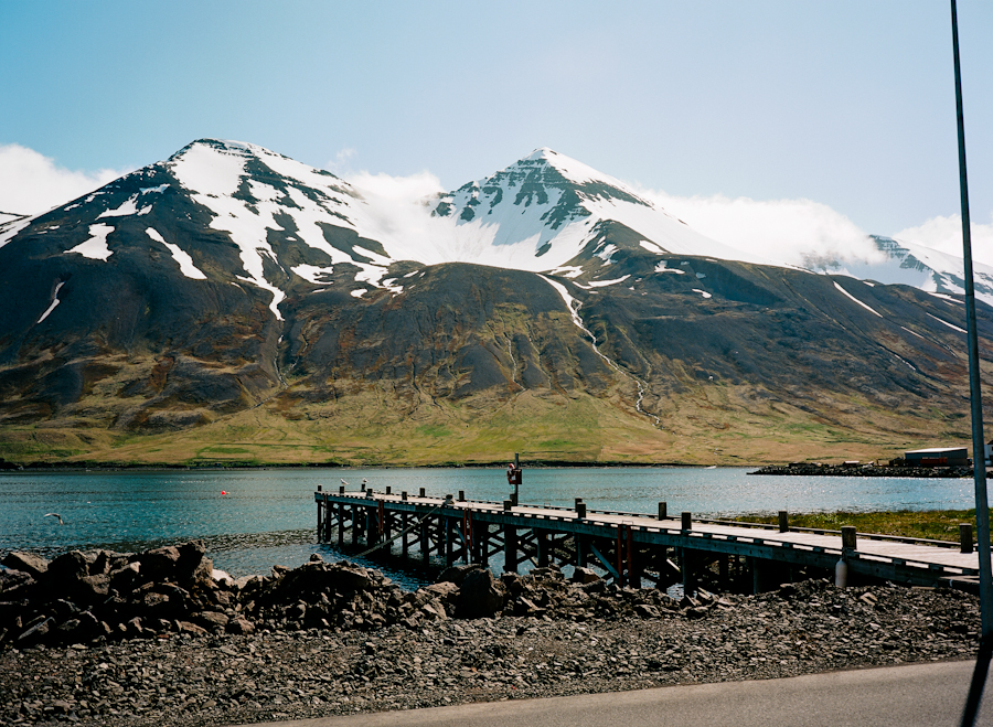
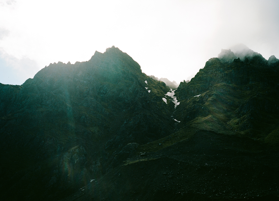
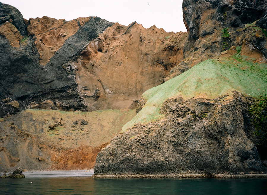
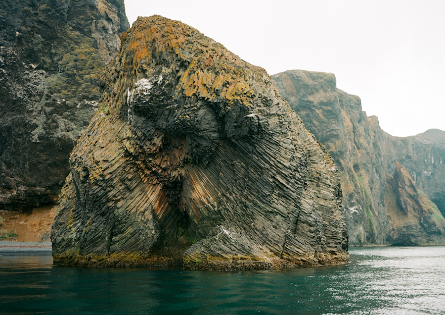
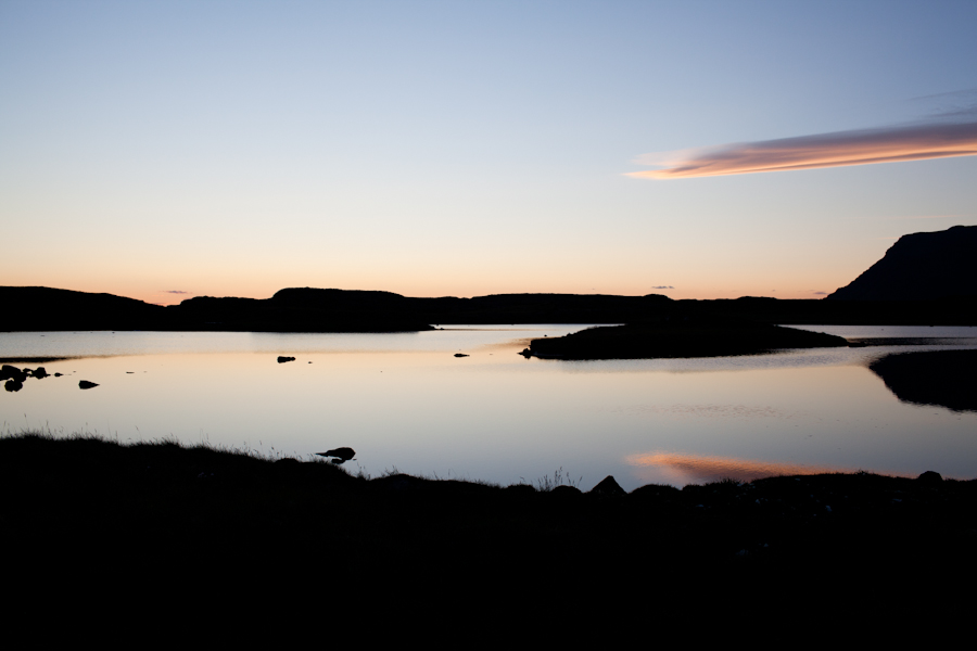
After being home for just over a month, I have finally received the processed film from my time in Iceland. The film is Kodak Ektar 100 120mm: touted by the manufacturer as "grainless". The camera, a Fuji 645, is an auto focus, point and shoot, medium format camera with a 50mm lens. It's a great camera for travel, however, there are several drawbacks: the camera is a range finder - i.e. the shooter can not look through the lens when focusing and sometimes shoots with lens cap on - 120 film only has 16 frames, and the best processing and customer service is very expensive and in San Francisco. I find that these limitations add to the adventure of making images and that my appetite for instant visual gratification is satiated by a handy iphone or digital camera.

The image below is an example of what happens when the roll is not wound tightly and light leaks onto the film; another casualty of the format and a suitable memory image of BAER:


Iceland Film


Iceland Film


Iceland Film


Iceland Film


Iceland Film


Iceland Film


Iceland Film


Iceland Film


Iceland Film


Iceland Film


Iceland Film


Iceland Film


Iceland Film


Iceland Film


Iceland Film


Iceland Film


Iceland Film


Iceland Film


Iceland Film


Iceland Film


Iceland Film


Iceland Film


Iceland Film


Iceland Film


Iceland Film


Iceland Film


Iceland Film


Iceland Film


Iceland Film


Iceland Film


Iceland Film


Iceland Film


Iceland Film


Iceland Film


Iceland Film


Iceland Film


Iceland Film


Iceland Film


Iceland Film


Iceland Film


Iceland Film


Iceland Film


Iceland Film


Iceland Film


Iceland Film


Iceland Film


Iceland Film


Iceland Film


Iceland Film


Iceland Film


Iceland Film


Iceland Film


Iceland Film


Iceland Film


Iceland Film


Iceland Film


Iceland Film


Iceland Film


Iceland Film


Iceland Film


Iceland Film


Iceland Film


Iceland Film

Beth and Harrie


Beth and Harrie


Beth and Harrie


Beth and Harrie


Beth and Harrie


Beth and Harrie


Beth and Harrie


Beth and Harrie


Beth and Harrie


Beth and Harrie


Beth and Harrie


Beth and Harrie


Beth and Harrie


Beth and Harrie


Beth and Harrie


Beth and Harrie


Beth and Harrie


Beth and Harrie


Beth and Harrie


Beth and Harrie


Beth and Harrie


Beth and Harrie


Beth and Harrie


Beth and Harrie


Beth and Harrie


Beth and Harrie


Beth and Harrie


Beth and Harrie


Beth and Harrie


Beth and Harrie


Beth and Harrie


Beth and Harrie


Beth and Harrie


Beth and Harrie


Beth and Harrie


Beth and Harrie


Beth and Harrie


Beth and Harrie


Beth and Harrie


Beth and Harrie


Beth and Harrie


Beth and Harrie


Beth and Harrie


Beth and Harrie


Beth and Harrie


Beth and Harrie


Beth and Harrie


Beth and Harrie


Beth and Harrie


Beth and Harrie


Beth and Harrie


Beth and Harrie


Beth and Harrie


Beth and Harrie


Beth and Harrie


Beth and Harrie


Beth and Harrie


Beth and Harrie


Beth and Harrie


Beth and Harrie


Beth and Harrie


Beth and Harrie


Beth and Harrie


Beth and Harrie


Beth and Harrie


Beth and Harrie


Beth and Harrie


Beth and Harrie


Beth and Harrie


Beth and Harrie


Beth and Harrie


Beth and Harrie


Beth and Harrie


Beth and Harrie


Beth and Harrie


Beth and Harrie


Beth and Harrie

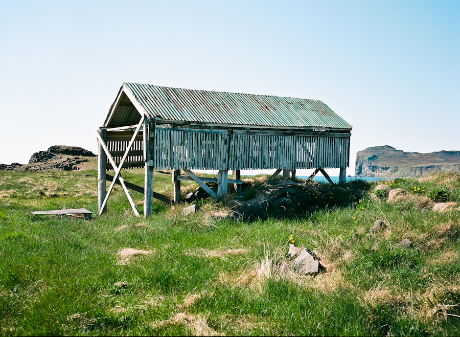
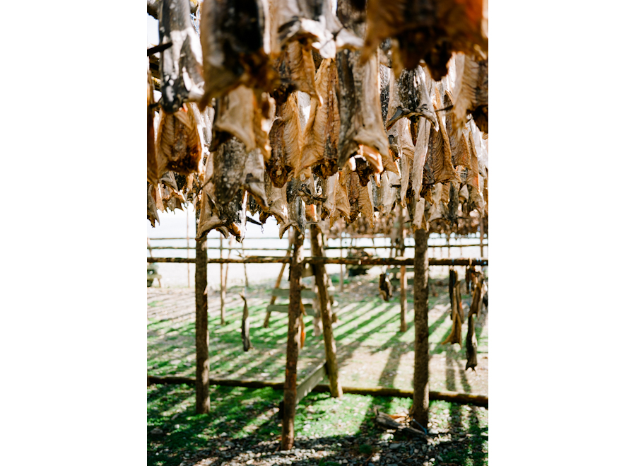
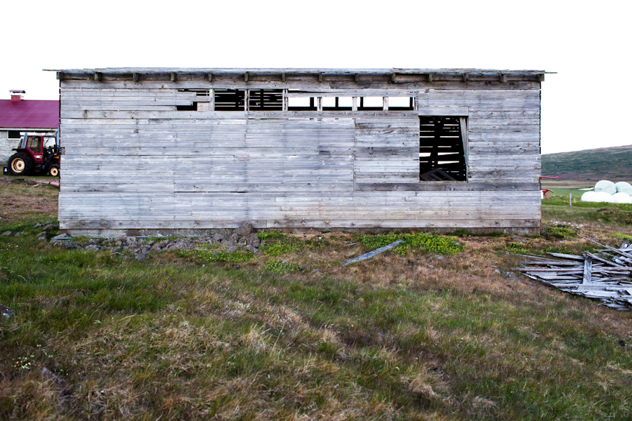
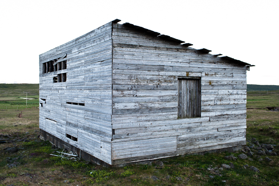
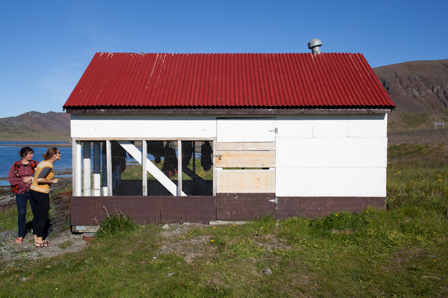
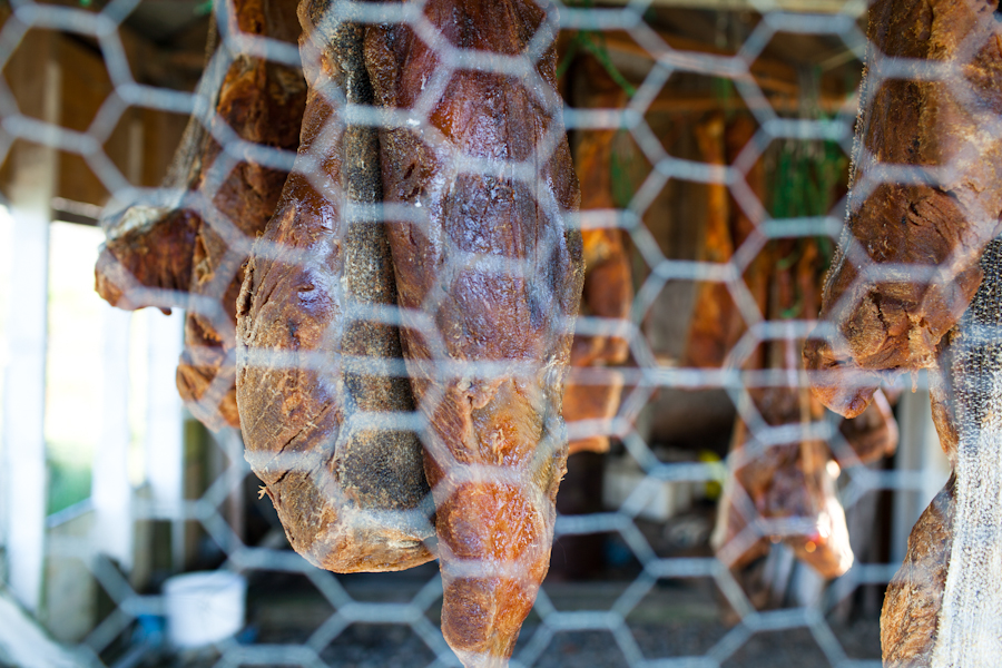
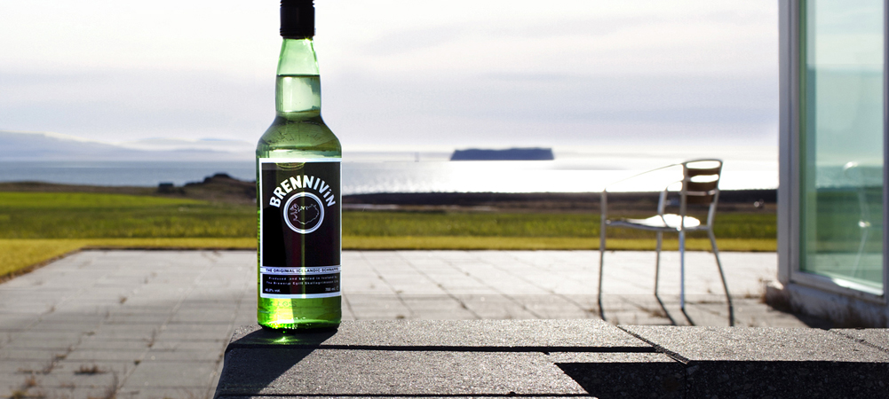
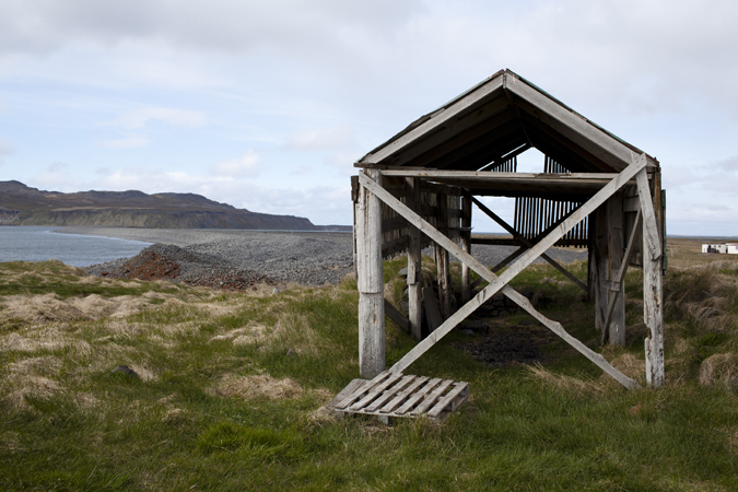
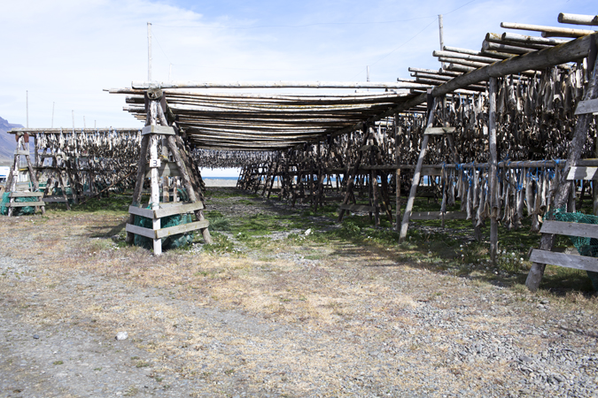
In Sauðárkrókur I could finally pick up a bottle of Brennivín: Iceland's signature schnapps made from fermented potatoes flavored with caraway seeds. It's best served very cold and often used as a chaser for Hákarl: fresh shark meat that is hung in a slatted drying house for 4-5 months and consumed in mid-winter. (Such a structure stands in the distance of this photograph, to the left of the bottle)

The closest thing we can find to Brennivín in the states is Akvavit from Denmark which is also very good.


Brennivín


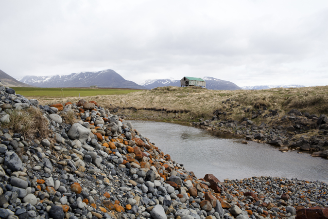
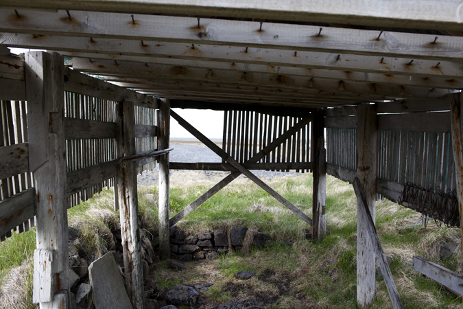
Shark drying shed at BAER:

Brennivín


Brennivín


Brennivín

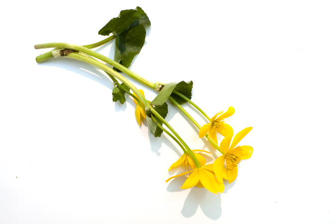
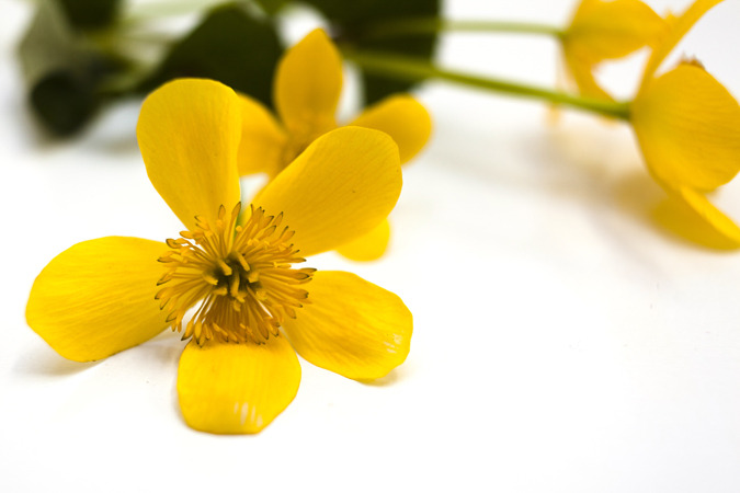
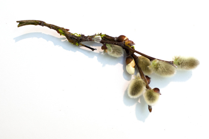
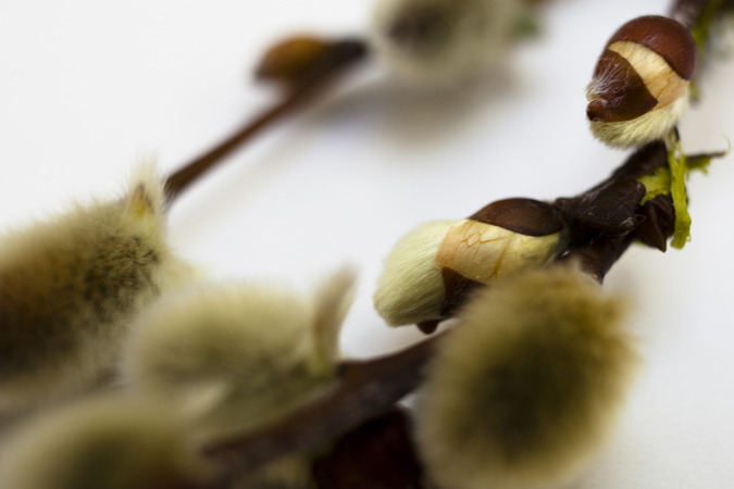
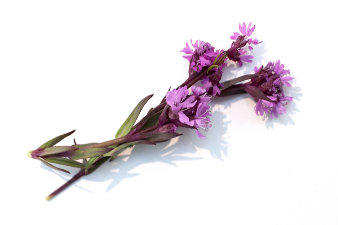
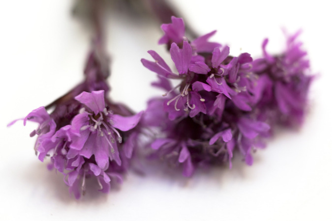
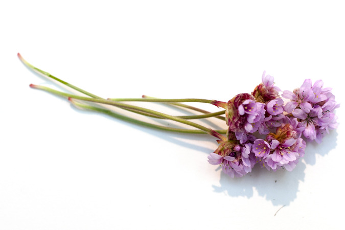
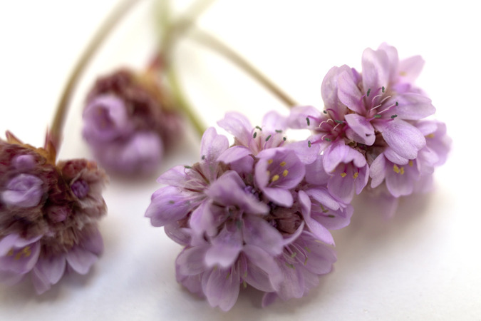
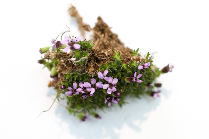
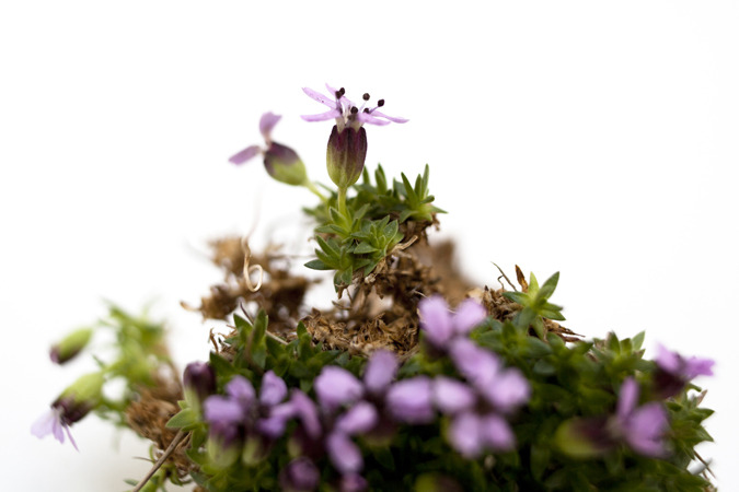
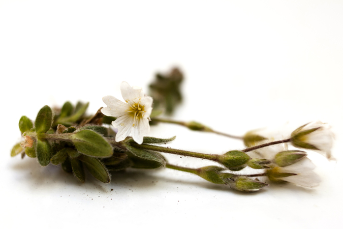
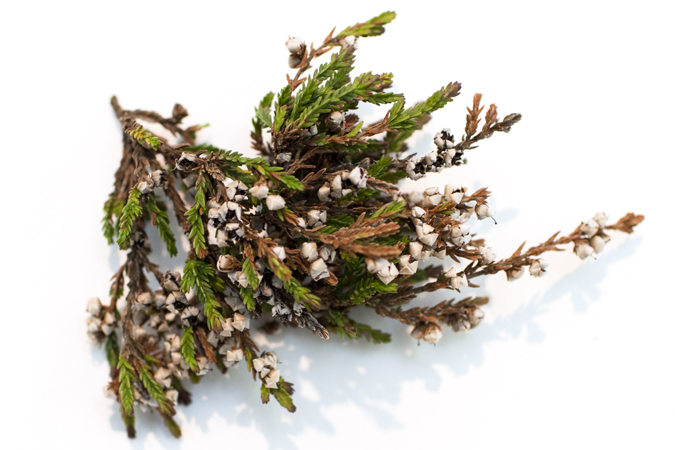
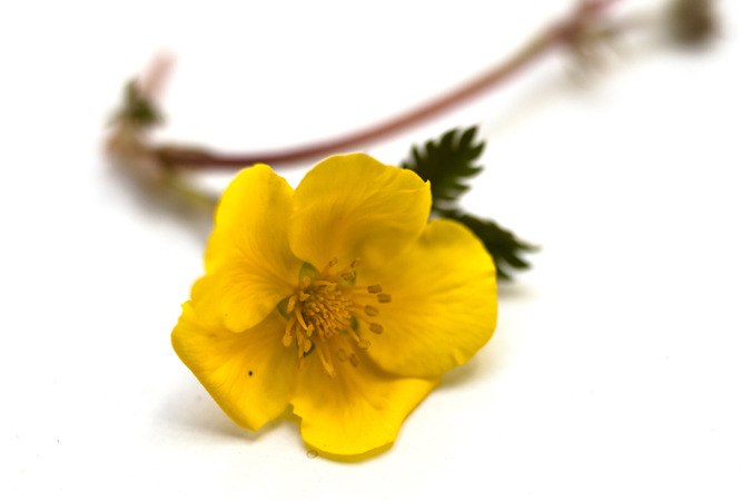
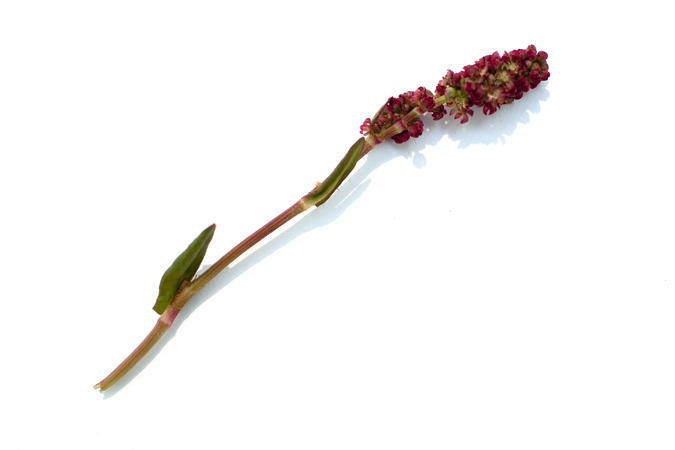
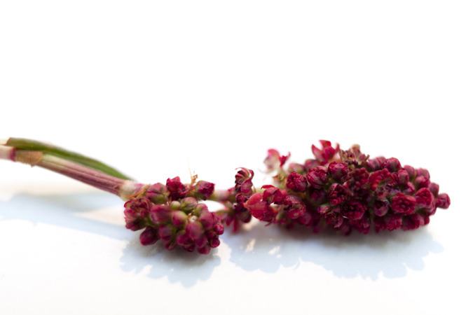
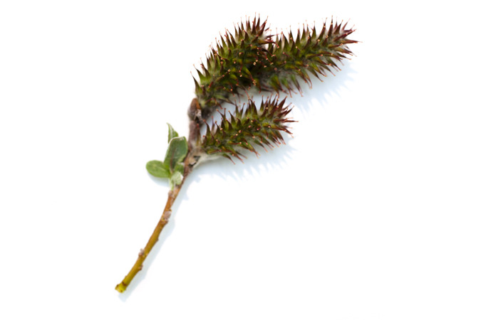
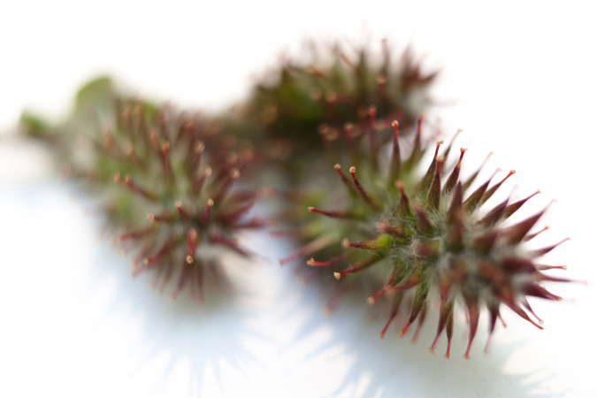
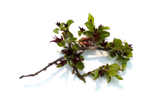
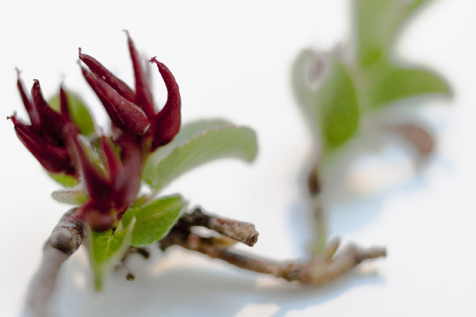
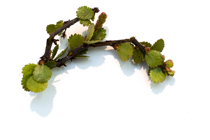
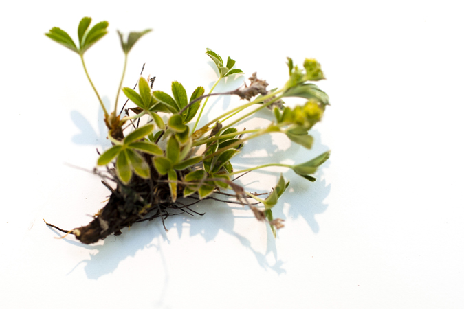
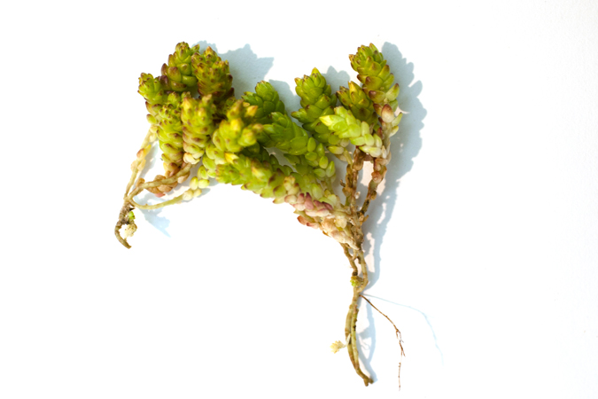
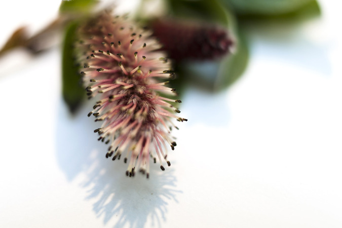
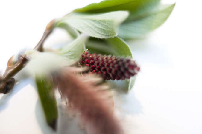
Some wild plants from around BAER (the names are for Beth, I have no idea what they mean. If anyone knows the ones that are missing please tell me):


Caltha palustris


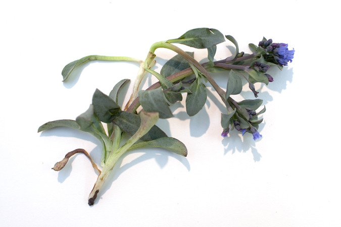
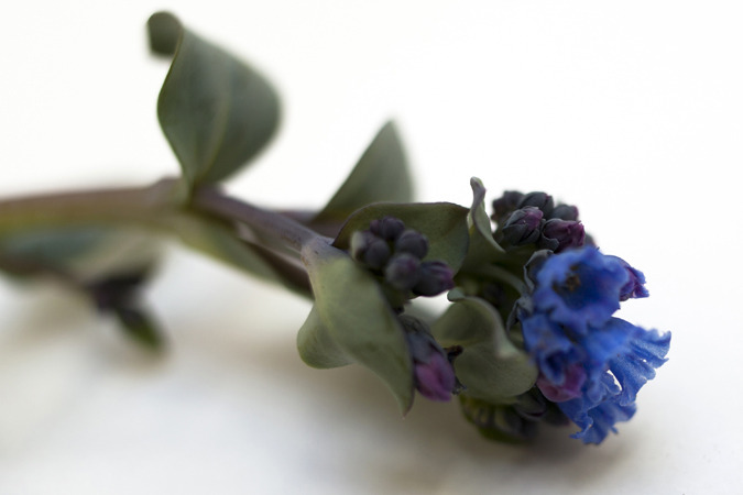
Mertensia martima


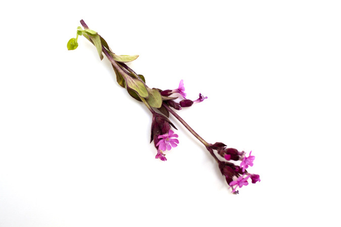
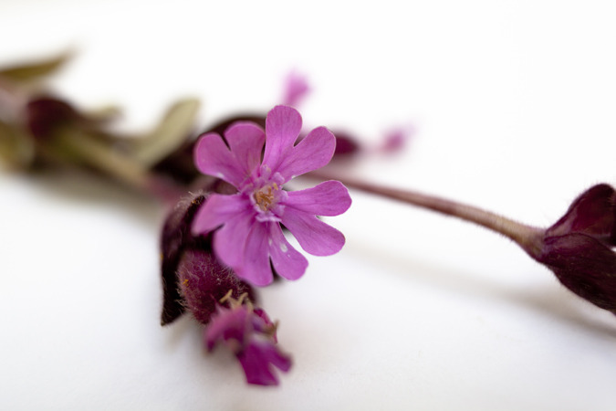
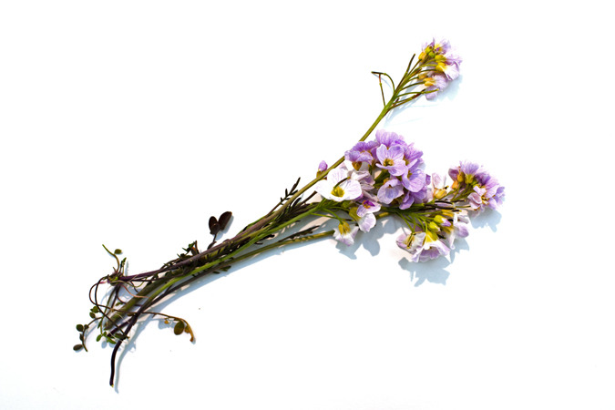
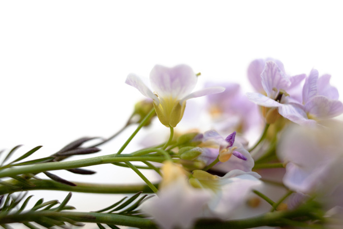
Lychnis flos-cuculi


Armeria vulgaris Willd.


Silene acaulis


Icelandic Flora


Icelandic Flora

Calluna vulgaris


Icelandic Flora

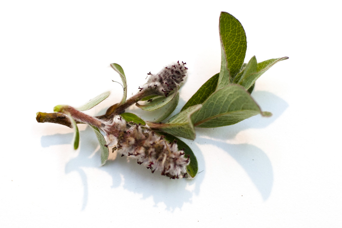
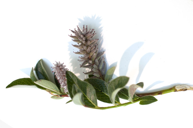
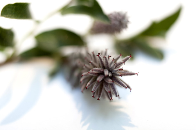
Salix lanata


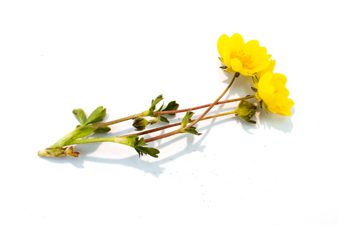
Ranunculus acris


Salix herbacea


Icelandic Flora

Betula nana


Salix callicarpaea


Icelandic Flora

Alchemilla alpina


Icelandic Flora


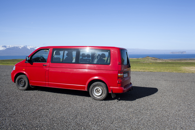
On Sunday, we had the first of three day trips from BAER. We were driven by Simon, the horse and facilities manager, in a red van (the local school bus) along the coast and through the modern tunnels to Siglufjörður. Sunna, who also takes care of the place and is great company, translated for Simon who speaks zero English.

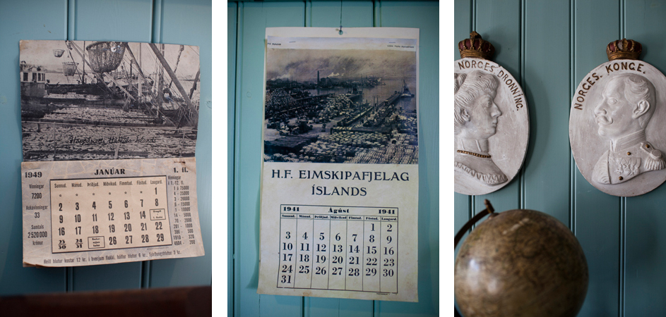
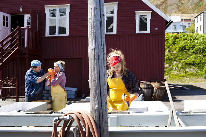
In Siglufjörður we visited the Herring Museum: a tribute to the fishing industry from the '40s through the '50s, when the fisheries were largely depleted. A traffic tunnel was first introduced in 1967 to revive the area with tourism. Prior to this, the only road to the town was a mountain track passable on horse or foot. We drove through a single lane tunnel that was built in 2010. The longest segment (one of three to Aukreyri) is 7km.

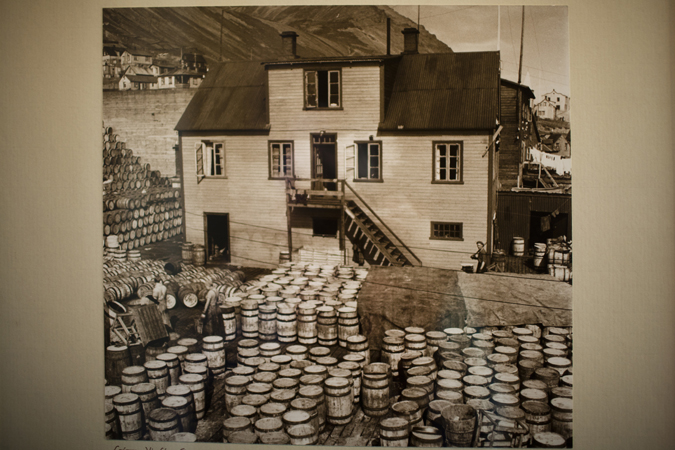
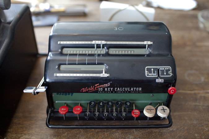
The Herring Museum is housed in the Herring salt and packaging facility which includes the original female worker's quarters on the upper levels. The owner's office and vault are on the first floor of the building - from where he was perched with his calculator watching the women pack herring on the docks just below his window. With each barrel that was packed and carried off the worker would get a coin in her boot. At the end of the day the coins were counted and payment was doled out.

The place is filled with cool objects and Scandinavian graphics from this period. There are two adjacent buildings, one is new and filled with ships and fishing gear and the other with original machinery for processing byproducts like oil and dried fish flake for animal feed - a temple of machine parts. On the museum grounds there is a reenactment with real Herring every Sunday at two o'clock.

After our visit, we had a lunch of Goulash and smoked lamb on flatbread (fried with the consistency of a doughnut and covered in butter). We then headed further south to Aukreyri where nothing was really happening except an eccentric/snoozy private collection of outsider and Icelandic folk art and a windswept botanical garden. The highlights were Brennivin at a bar and a great fish hash dinner with brown malt bread.


Siglufjörður & Aukreyri

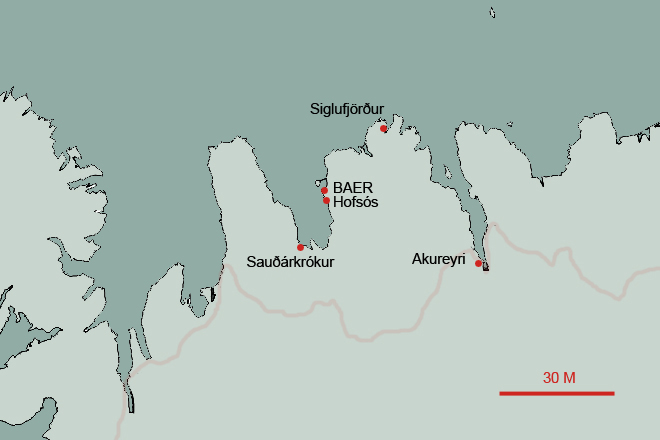
Map of area (Sauðárkrókur, to the south west of BAER, is the town we visit for provisions on Fridays, see earlier post. The red line is the primary highway around Iceland.)


Siglufjörður & Aukreyri


Siglufjörður & Aukreyri

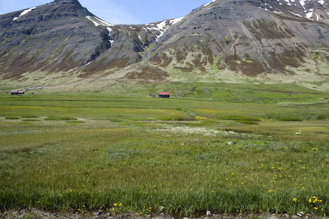
Simon's childhood home and Swan.


Siglufjörður & Aukreyri

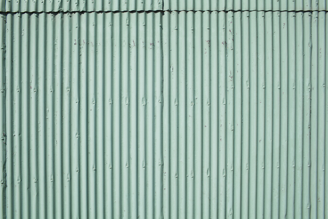
The best green for metal buildings.


Siglufjörður & Aukreyri

Siglu's fjord


Siglufjörður & Aukreyri


Siglufjörður & Aukreyri


Siglufjörður & Aukreyri

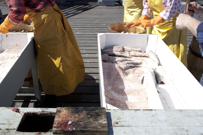
Salted Herring production in the '40s.


Worker's living area:

Siglufjörður & Aukreyri


Siglufjörður & Aukreyri


Siglufjörður & Aukreyri


The Boss's domain:


Siglufjörður & Aukreyri


Siglufjörður & Aukreyri


Siglufjörður & Aukreyri


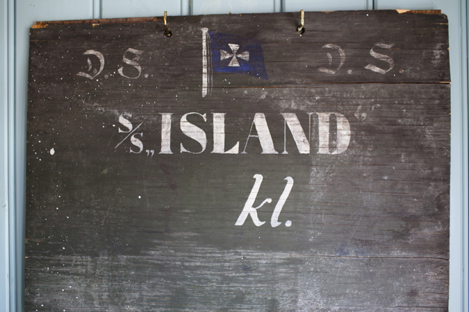
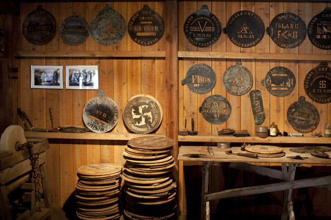
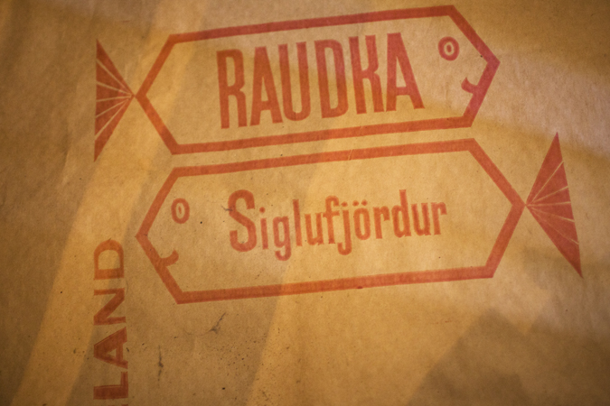
Stencils for barrel lids:

Siglufjörður & Aukreyri


Siglufjörður & Aukreyri


Siglufjörður & Aukreyri

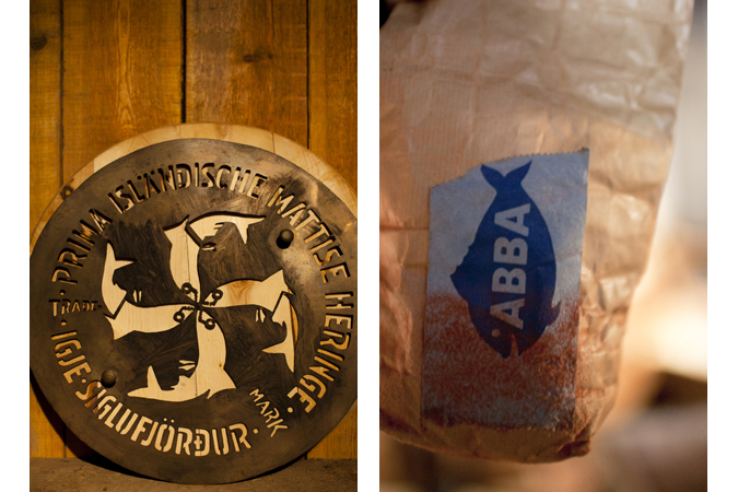
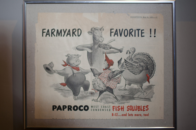
Fish solubles logo.


Siglufjörður & Aukreyri


The Reenactment at 2pm.

Siglufjörður & Aukreyri


Siglufjörður & Aukreyri


Siglufjörður & Aukreyri


Siglufjörður & Aukreyri


Siglufjörður & Aukreyri

A brief fjord gap between tunnels.


"outsider"/folk art:

Siglufjörður & Aukreyri


Siglufjörður & Aukreyri


Siglufjörður & Aukreyri


Siglufjörður & Aukreyri


Siglufjörður & Aukreyri


Siglufjörður & Aukreyri

I restrained myself. However, there were really nice hand knit Icelandic sweaters for sale, by the honor system, in an adjacent tent.


Siglufjörður & Aukreyri

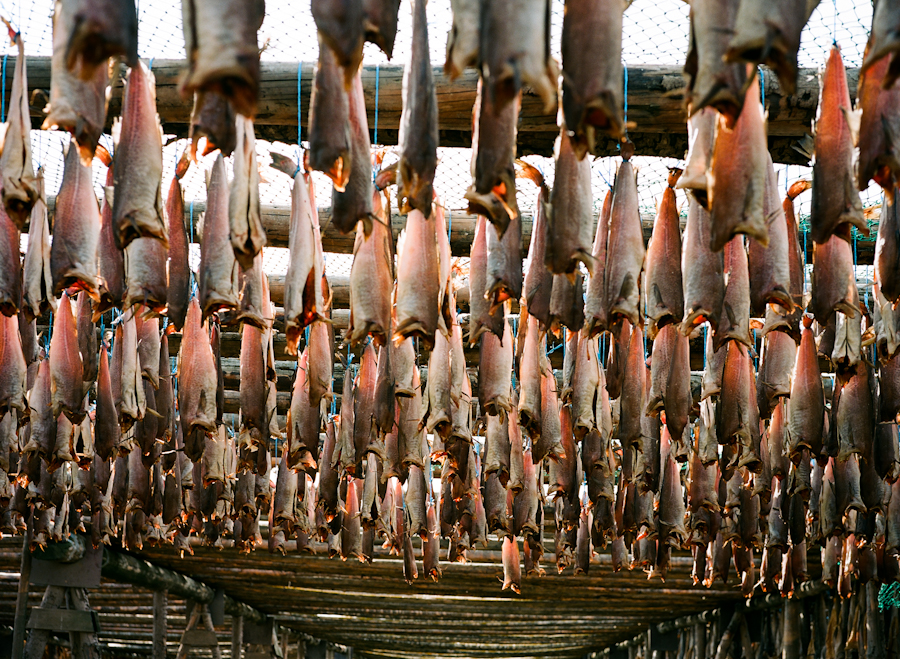
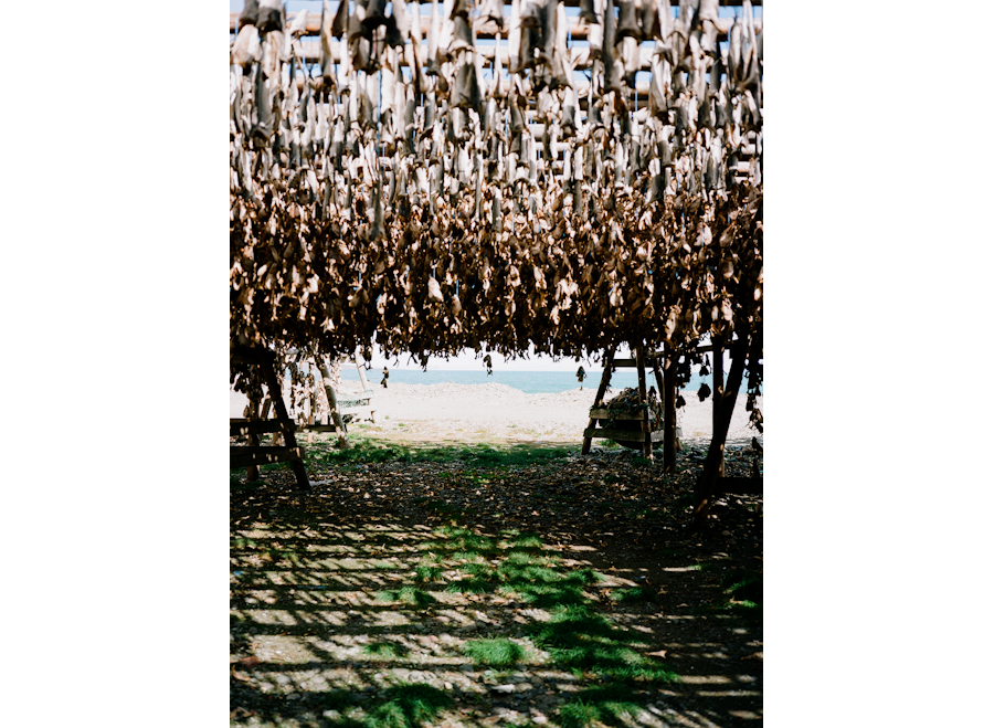
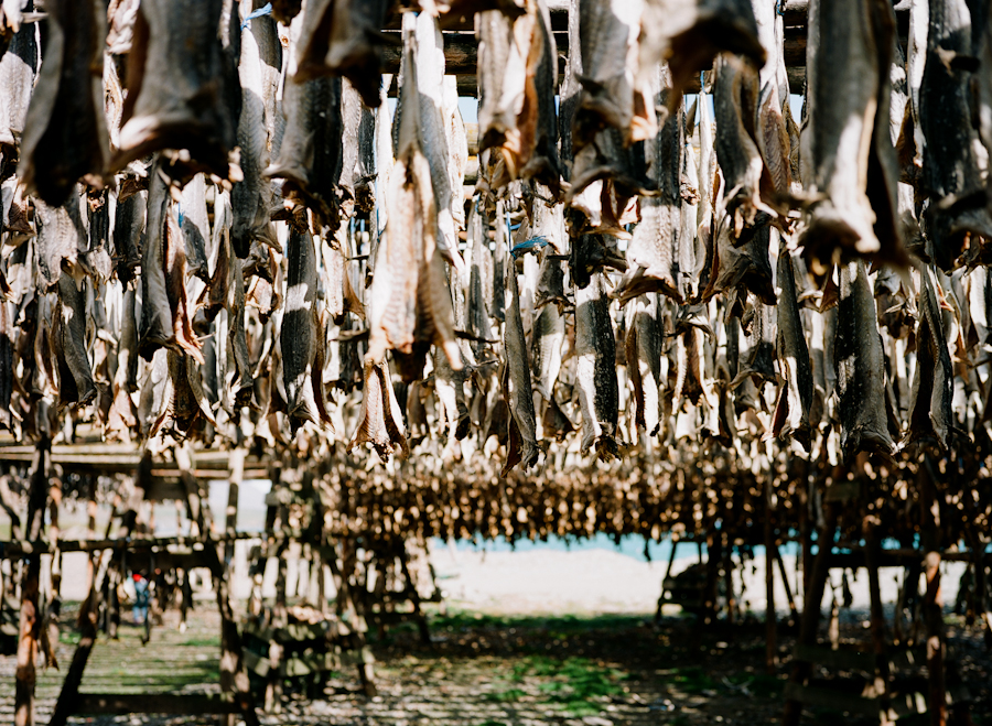
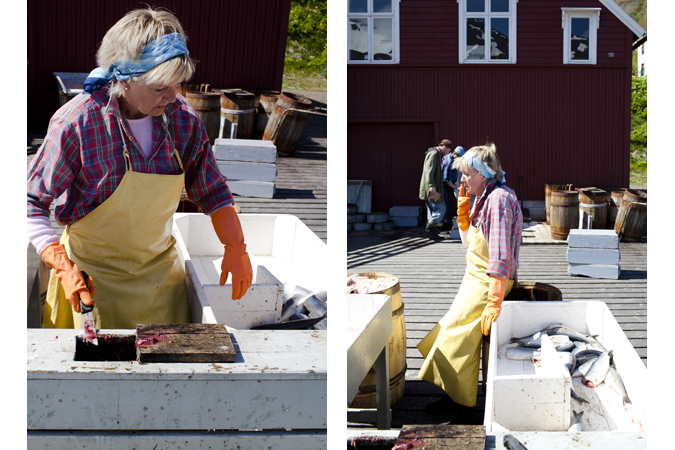
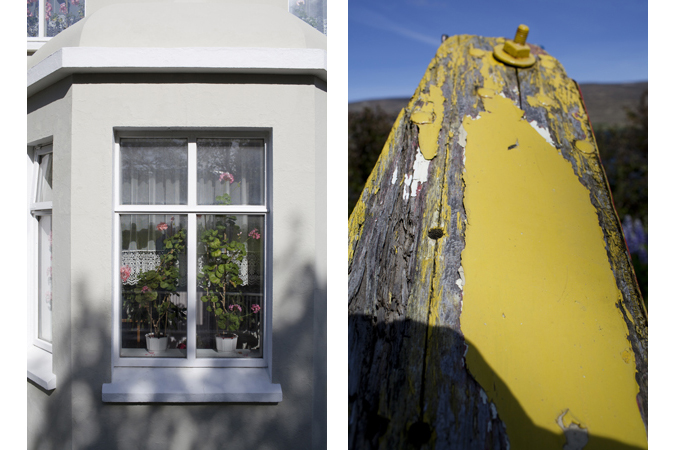
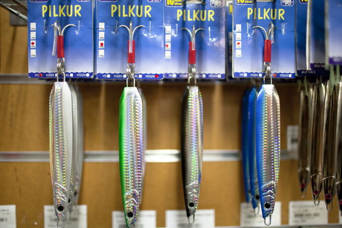
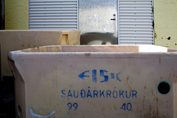
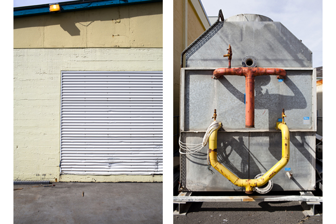
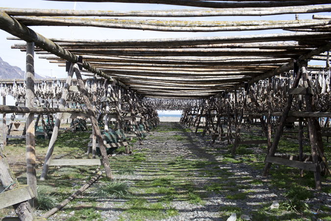
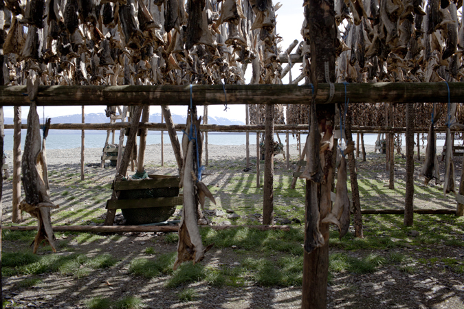
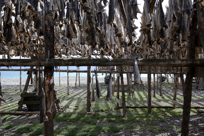
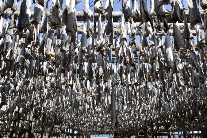
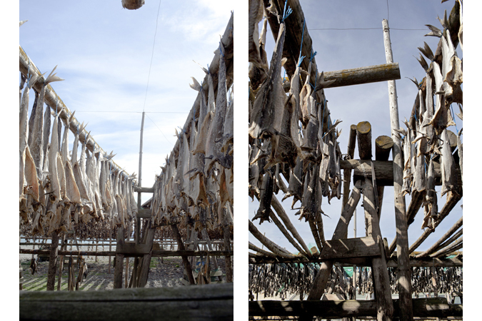
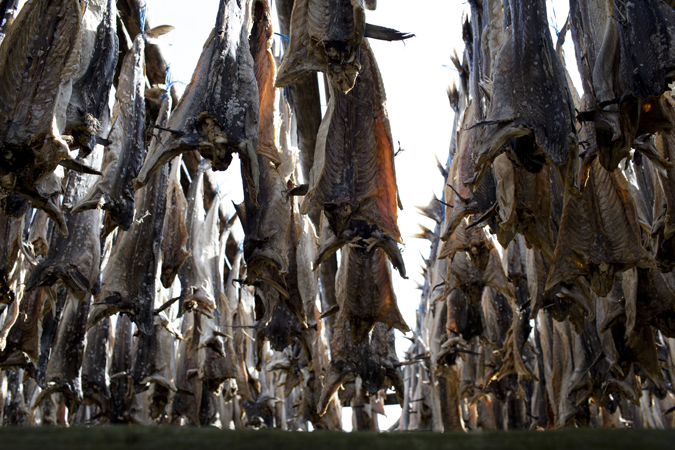
On Fridays we drive south west for provisioning in the only other town on the fjord, Sauðárkrókur. The bustling industrial center not only has your basic hardware store, supermarket, bottle shop, etc. -- it is also home to the largest Cod fish drying trestles in Iceland. Apparently, the fish are gutted, deheaded and hung on the trestles immediately after harvest; the lines overhead prevent the birds from feeding on the fresh meat. Once dehydrated, the Cod parts are packaged in the adjacent warehouse and entirely exported to Nigeria, to be used for cooking stock etc. Icelanders don't eat the stuff because they can get it fresh whenever they like.

There are no cats in Sauðárkrókur and the cold steady wind from the fjord keeps insects away and prevents the meat from spoiling - this is more difficult in Nigeria apparently.


Sauðárkrókur


Sauðárkrókur


Sauðárkrókur


Sauðárkrókur


Sauðárkrókur


Sauðárkrókur


Sauðárkrókur


Sauðárkrókur


Sauðárkrókur


Sauðárkrókur


Sauðárkrókur


Sauðárkrókur


Sauðárkrókur


Sauðárkrókur


Sauðárkrókur


Sauðárkrókur

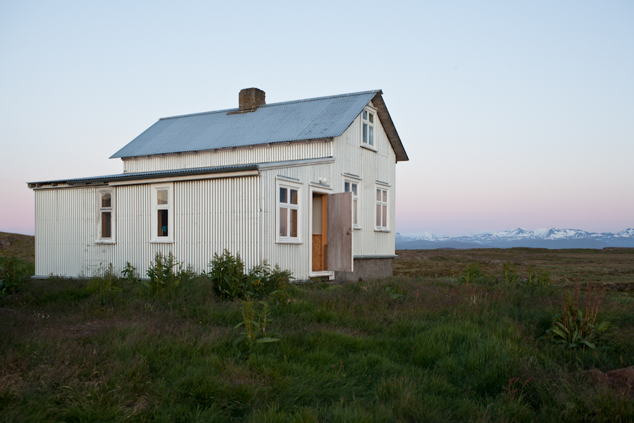
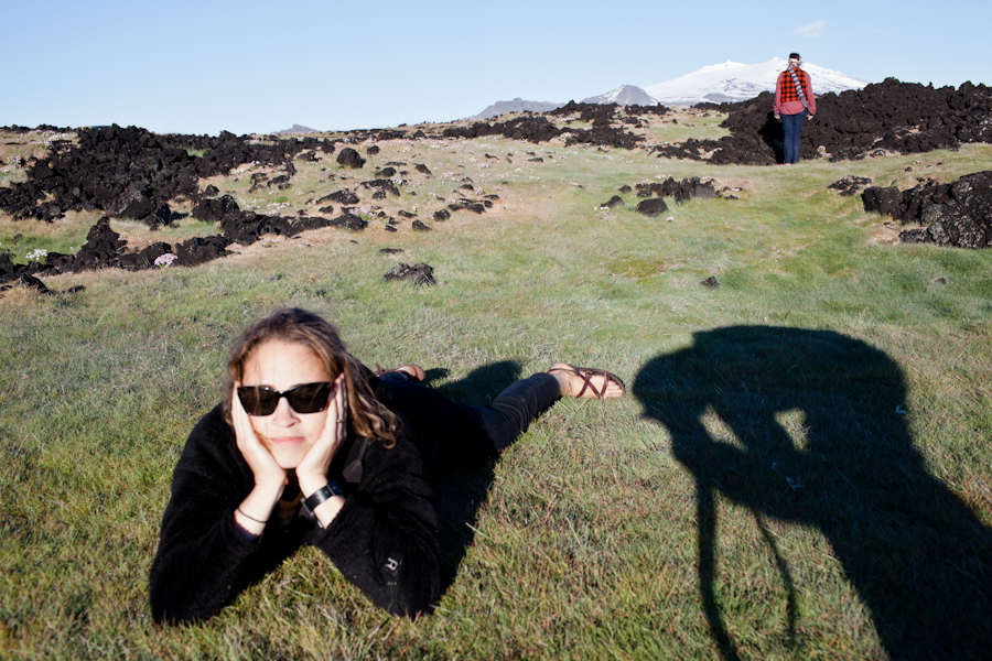
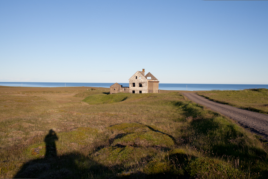
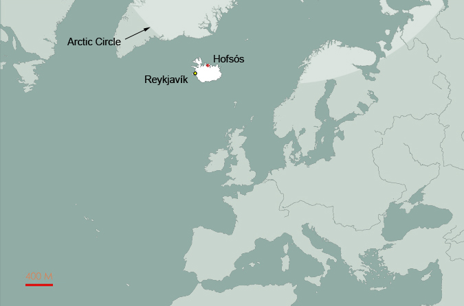
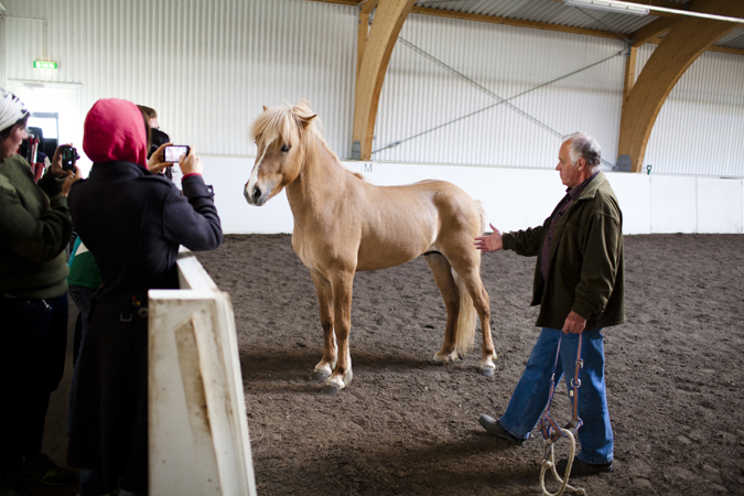
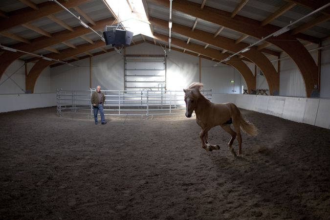
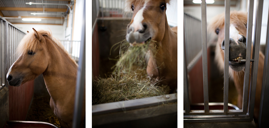
During the month of June I am residing and working at BAER Art Center in Hofsós, Iceland. The facility is in horse country; the grounds serve both as subject matter for visiting artists and architects and pasture for a horse breeding facility run by the owner and director of BAER, Steinunn Jónsdóttir.

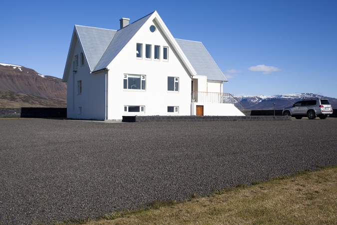
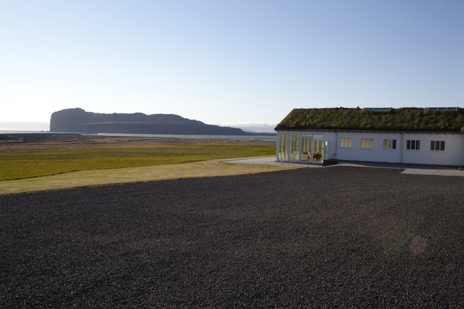
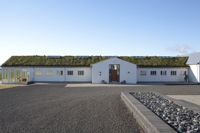
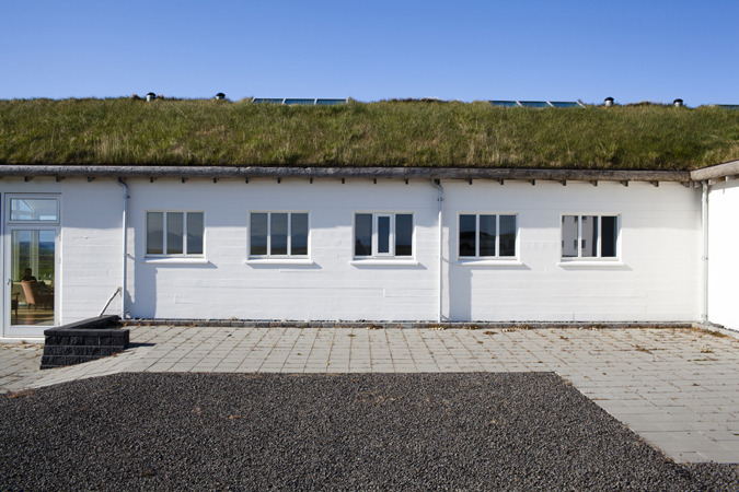
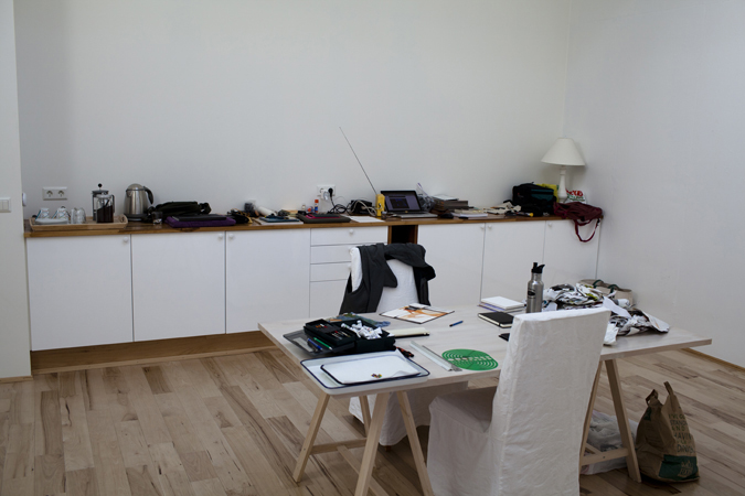
The Art Center was started in 2008. Visitors are housed in a new building that stands where there was once a dilapidated sheep barn. Steinunn has completely remodeled the interior of the main house, adjacent to the residences, to serve as a center for meals and a summer home for her family. She has carefully preserved the exterior character of this building as well as the original lay of the land. There are five visitors including myself. We convene for lunch, dinner and a weekly tour of the countryside.

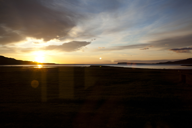
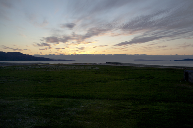
We are just inside of the Arctic Circle; the sun never sets and June 21st is the longest day of the year.


BAER Art Center (Hofsós, Iceland)


BAER Art Center (Hofsós, Iceland)

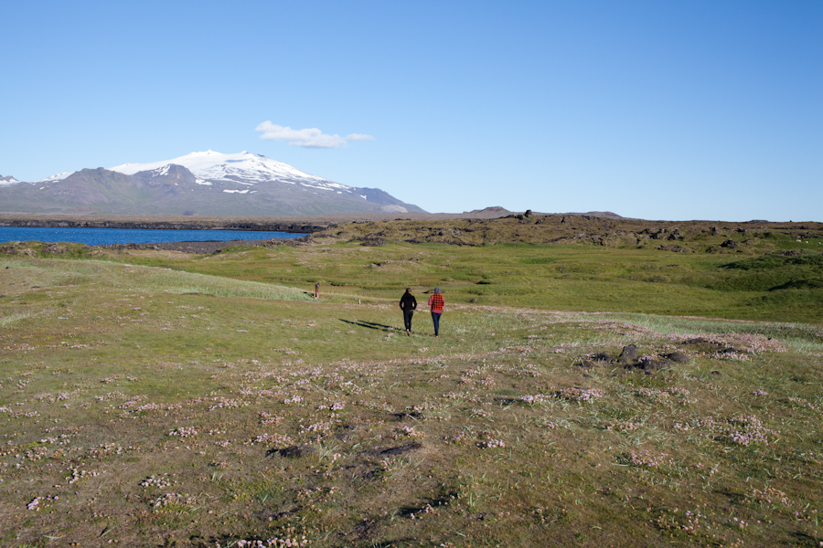
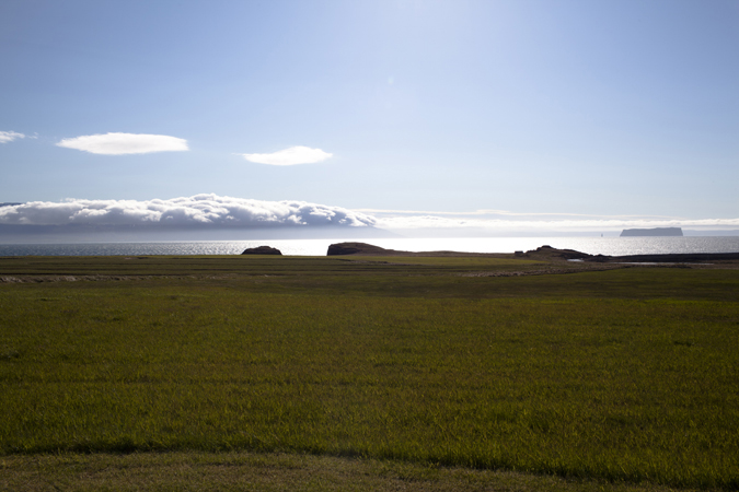
Looking west towards Fjord Skagafjörður. To the right is Drangey Island. Legend describes the islands' origins as follows: "...two night trolls, who lived at Hagranes, were taking their cow to be serviced by a bull, for which they had to go all the way west to Standir. They set off on their journey, the troll leading the cow, and the troll-wife walking behind. But they had only gone a short distance out into the fjord when dawn broke in the east and they were all turned into stone. The troll-wife is the rock pillar named Kerling (Old Woman) at the south of the island, and the male troll was another rock pillar, known as Karl (Old Man), which stood at the north of Drangey until it collapsed in an earthquake in 1755. The island, of course, is the troll cow."


BAER Art Center (Hofsós, Iceland)

Main Residence


BAER Art Center (Hofsós, Iceland)

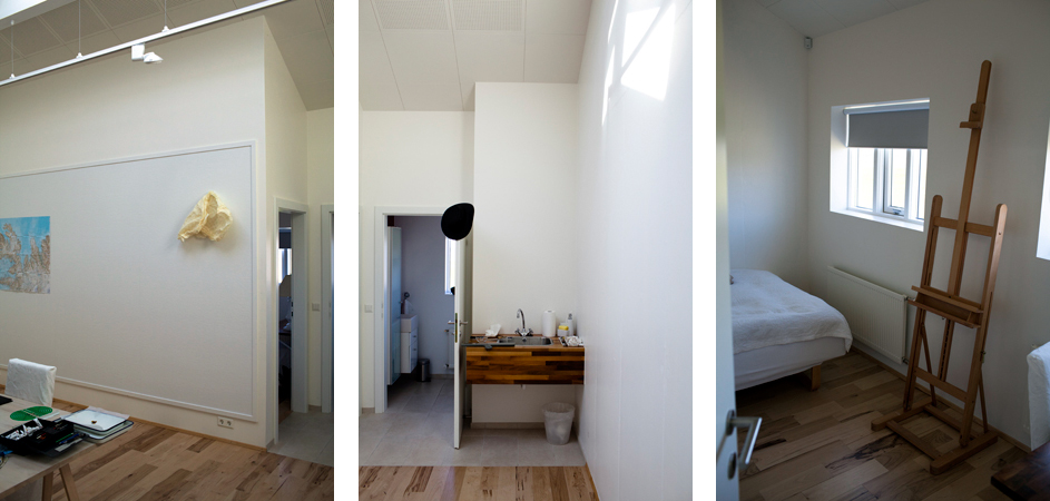
One of five studio apartments.


BAER Art Center (Hofsós, Iceland)

All my stuff.


BAER Art Center (Hofsós, Iceland)

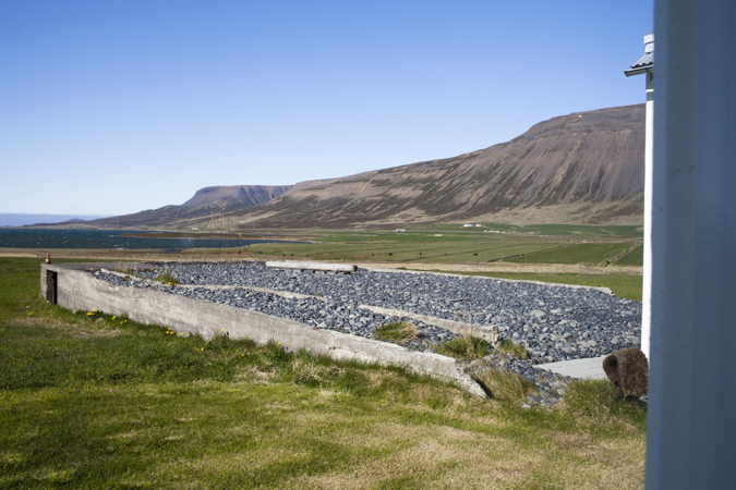
View north from my bathroom. Old barn foundation in the foreground.


BAER Art Center (Hofsós, Iceland)

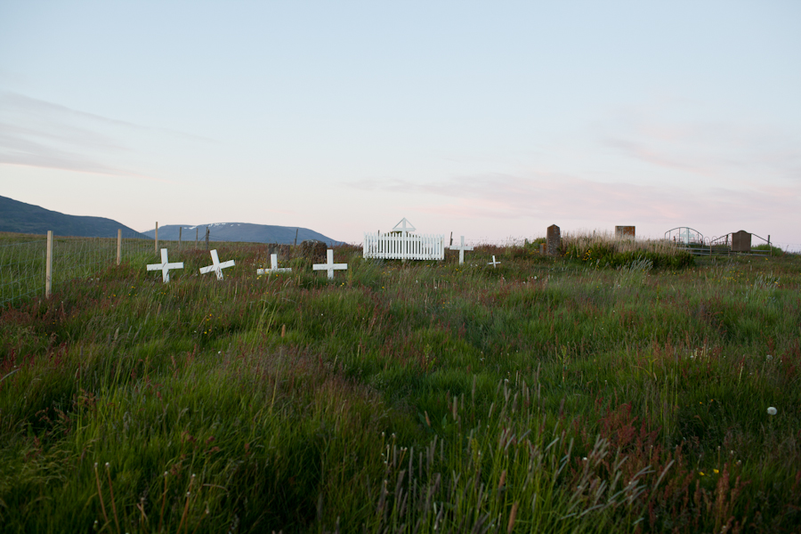
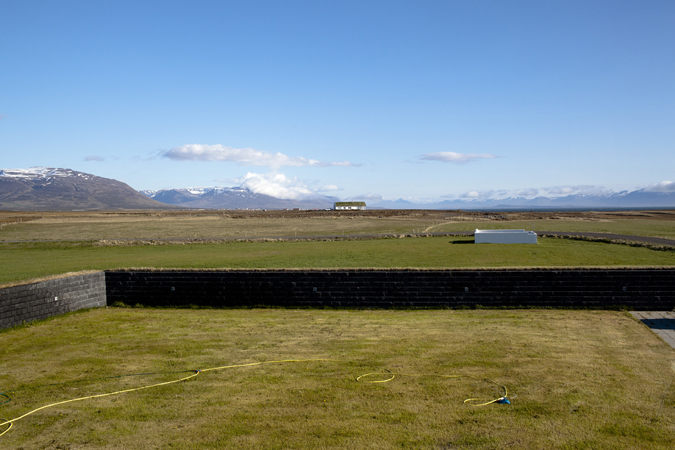
Lawn, farmstead cemetery, property manager and horse master's house.


BAER Art Center (Hofsós, Iceland)

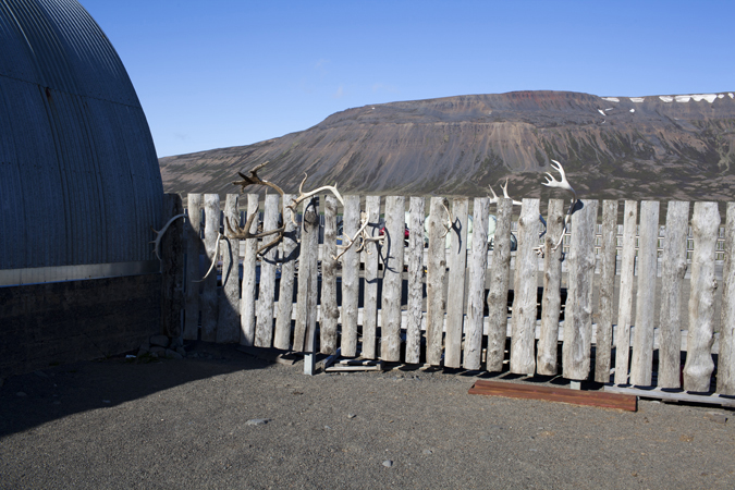
Reindeer antler collection.


BAER Art Center (Hofsós, Iceland)

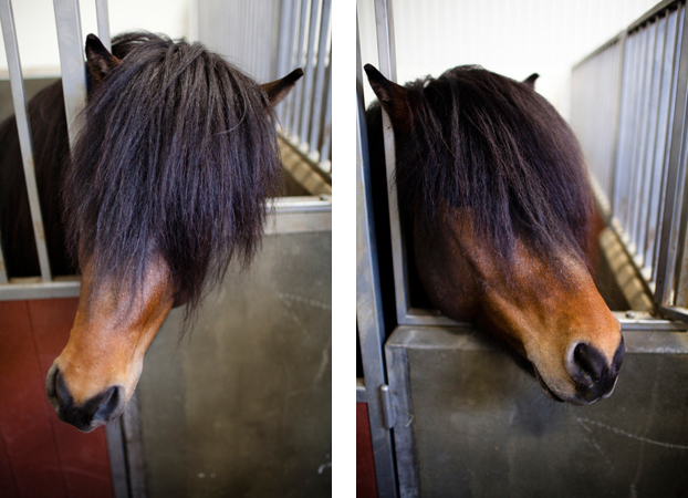
One of the studs. (the relaxed stallion)


BAER Art Center (Hofsós, Iceland)

The show off.


BAER Art Center (Hofsós, Iceland)

...


BAER Art Center (Hofsós, Iceland)

Trouble.


BAER Art Center (Hofsós, Iceland)

12:00 am

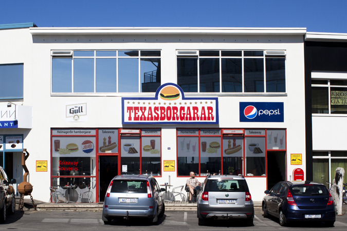
Reykjavík, Iceland


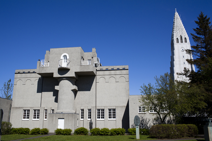
Reykjavík, Iceland


Reykjavík, Iceland


Reykjavík, Iceland


Reykjavík, Iceland


Reykjavík, Iceland


Reykjavík, Iceland


Reykjavík, Iceland


Reykjavík, Iceland


Reykjavík, Iceland


Reykjavík, Iceland

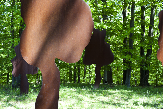
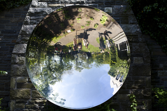
Storm King Sculpture Park (Mountainville, N.Y.)

Beth's birthday.


Storm King Sculpture Park (Mountainville, N.Y.)


Storm King Sculpture Park (Mountainville, N.Y.)


Storm King Sculpture Park (Mountainville, N.Y.)


Storm King Sculpture Park (Mountainville, N.Y.)


Storm King Sculpture Park (Mountainville, N.Y.)


Storm King Sculpture Park (Mountainville, N.Y.)


Storm King Sculpture Park (Mountainville, N.Y.)


Storm King Sculpture Park (Mountainville, N.Y.)


Storm King Sculpture Park (Mountainville, N.Y.)


Storm King Sculpture Park (Mountainville, N.Y.)


Storm King Sculpture Park (Mountainville, N.Y.)


Storm King Sculpture Park (Mountainville, N.Y.)


Storm King Sculpture Park (Mountainville, N.Y.)


Storm King Sculpture Park (Mountainville, N.Y.)


Storm King Sculpture Park (Mountainville, N.Y.)


Storm King Sculpture Park (Mountainville, N.Y.)


Storm King Sculpture Park (Mountainville, N.Y.)


Storm King Sculpture Park (Mountainville, N.Y.)


Storm King Sculpture Park (Mountainville, N.Y.)


Storm King Sculpture Park (Mountainville, N.Y.)


Storm King Sculpture Park (Mountainville, N.Y.)


Storm King Sculpture Park (Mountainville, N.Y.)


Storm King Sculpture Park (Mountainville, N.Y.)


Storm King Sculpture Park (Mountainville, N.Y.)


Storm King Sculpture Park (Mountainville, N.Y.)


Storm King Sculpture Park (Mountainville, N.Y.)


Storm King Sculpture Park (Mountainville, N.Y.)


Storm King Sculpture Park (Mountainville, N.Y.)


Storm King Sculpture Park (Mountainville, N.Y.)

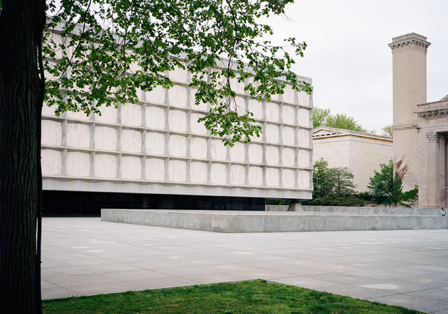
The Beinecke Library - New Haven, CT.
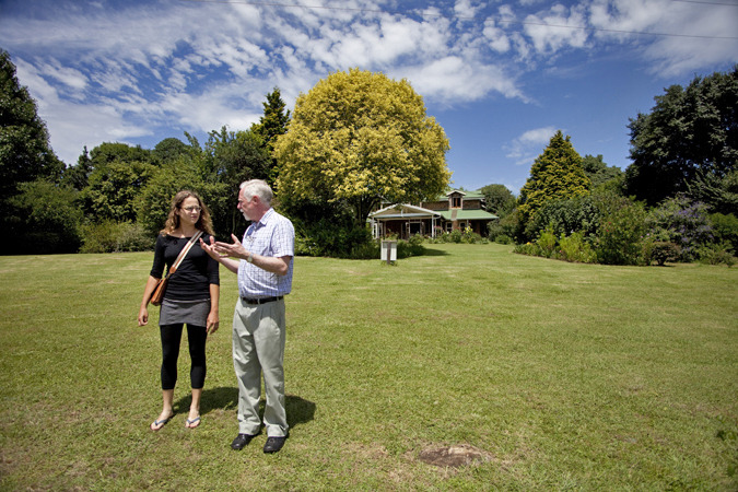
On our flight from Cape Town to Durban, Beth and I shared a row with an art consultant and curator from Johannesburg, Julia Meintjes. Julia was making her way home with a brief stop in Pietermaritzburg (where Beth is staying for three months) for an opening at the Municipal Art Gallery that evening. We generally don't harass row-mates on planes, but we got to talking with Julia -- stealing her attention from the talk she was putting together -- and discovered that the work in P-burg is a traveling show that has just returned from Boston University: "25 Years of Caversham Press."

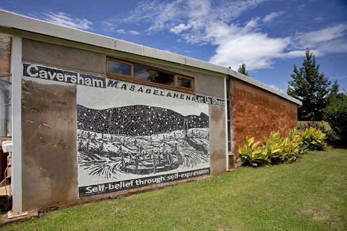
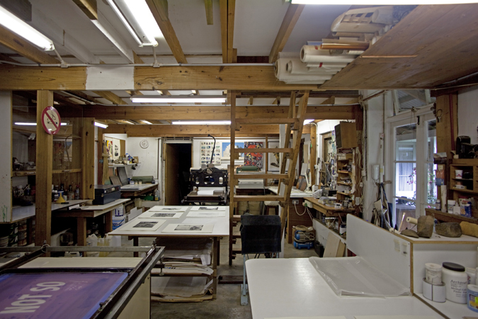
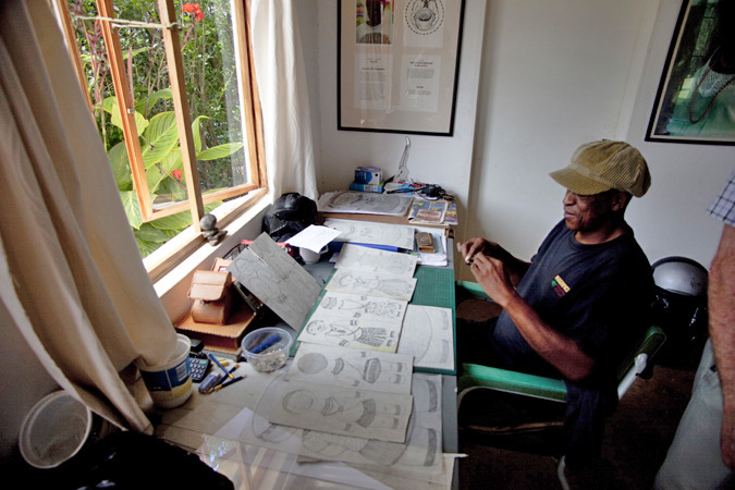
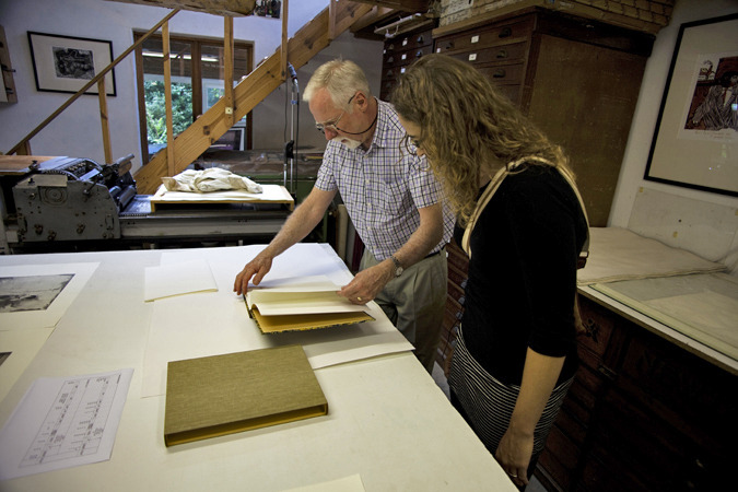
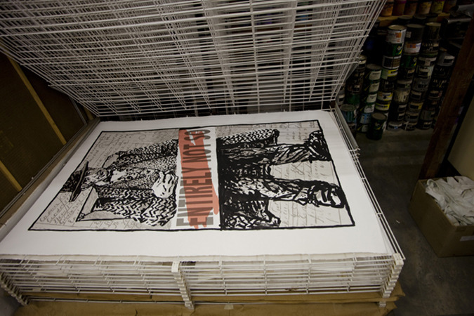
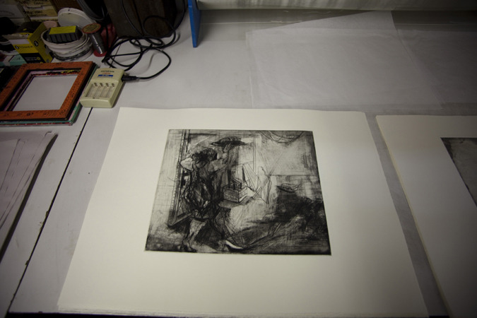
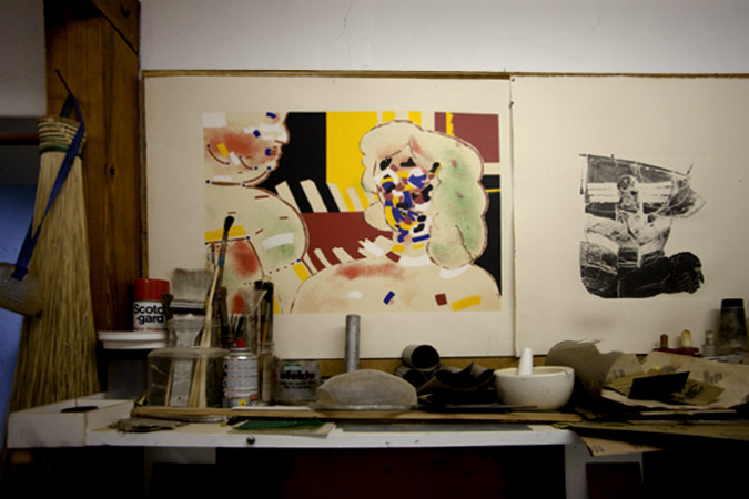
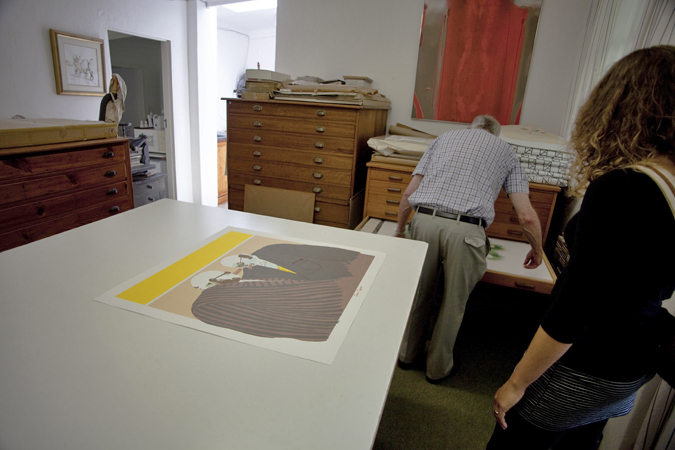
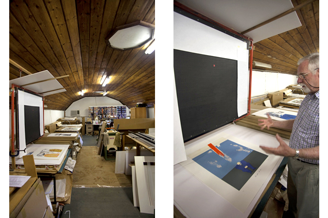
Julia invited us along and introduced us to Malcolm Christian, the brains and soul behind the Caversham operation: the first fine art printing press in South Africa and, in recent years, a center for artists who have less access to the mechanisms and exposure of the connected "art world." Much of this latter work is laden with South African specific political and social content that is more opaque to an outsider like myself, however, the work is technically rigorous and beautiful. I am more drawn to prints from artists who defined Caversham in the early years including: William Kentridge, Deborah Bell and Robert Hodgins, who is so clever and awesome. His print "Twin Cigars" was by far our favorite piece in the show.

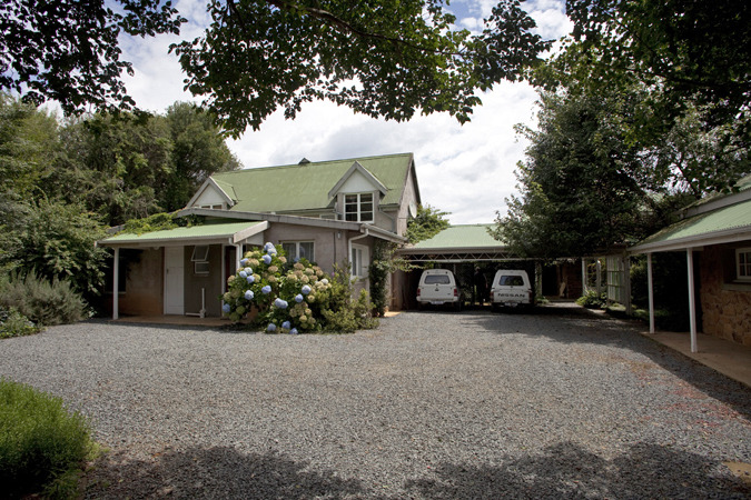
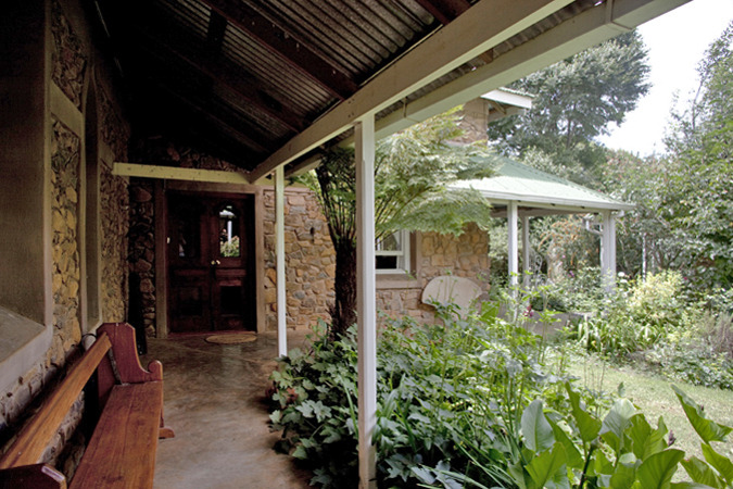
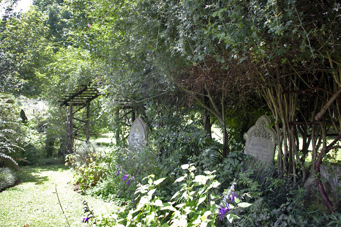
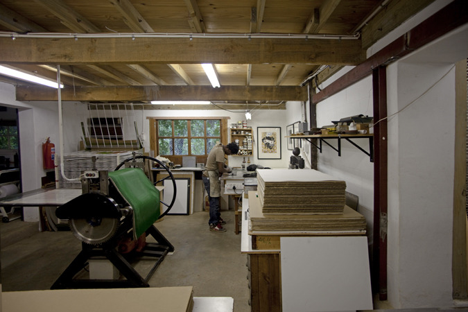
We were intrigued by Malcolm's range of projects and collaborations; his work with botanist and illustrator Elsa Pooley is especially relevant to Beth's interests and the overall premise of her stay in South Africa. At the opening Malcolm invited us to Howick to see the converted church and cemetery that have been carefully expanded and woven into the center's narrative and Malcolm's life. According to Malcolm, visiting artists are often spooked when they open their blinds and discover the picturesque tombstones in the gardens that surround the cottages. Malcolm is a very gracious person and we will no doubt keep in touch.


Caversham Centre


Caversham Centre

"Twin Cigars" by Robert Hodgins


Caversham Centre

Malcolm with another Hodgins print in the converted church/print shop's attic space.


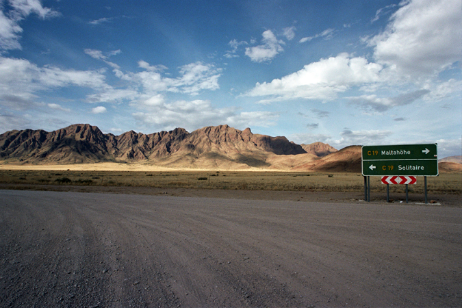
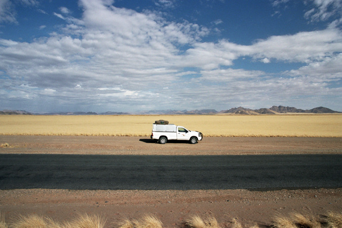
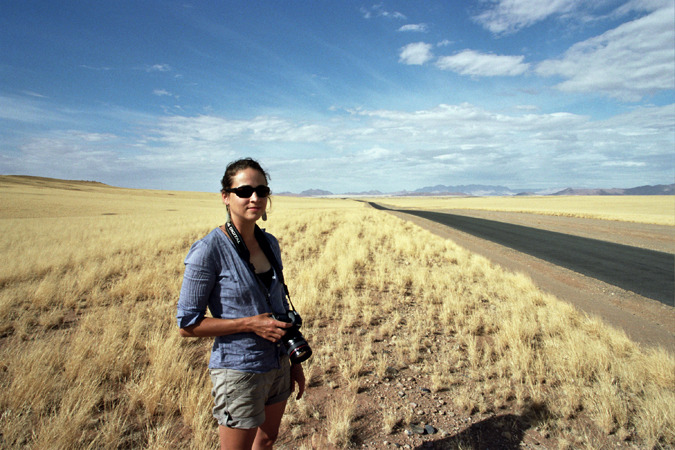
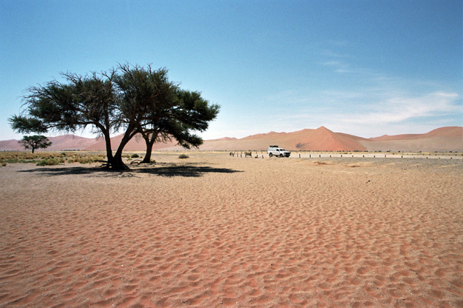
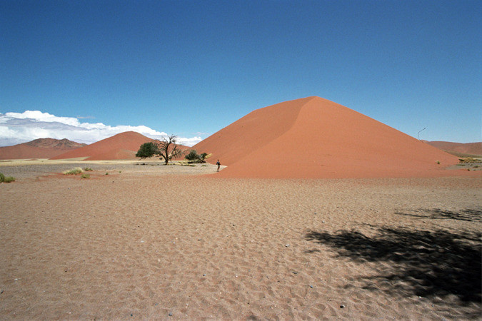
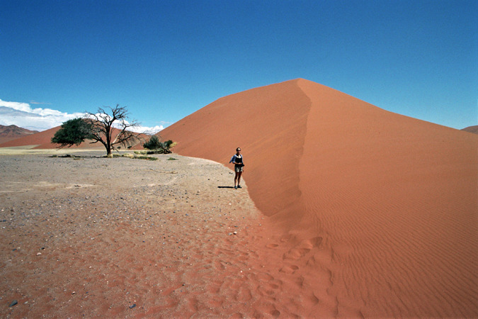
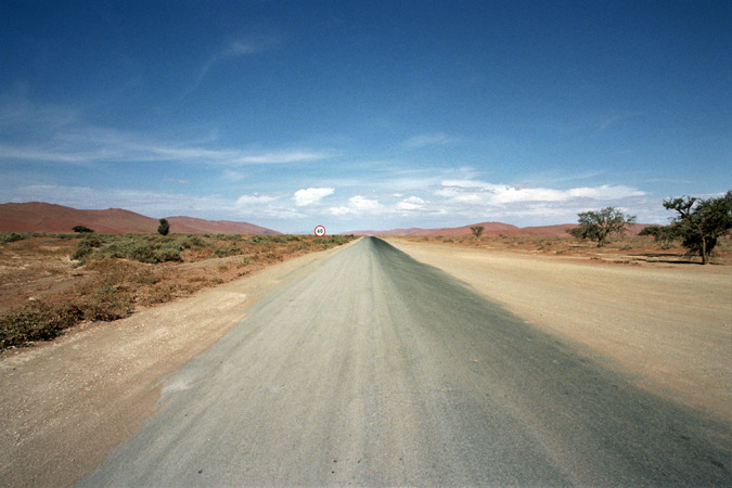
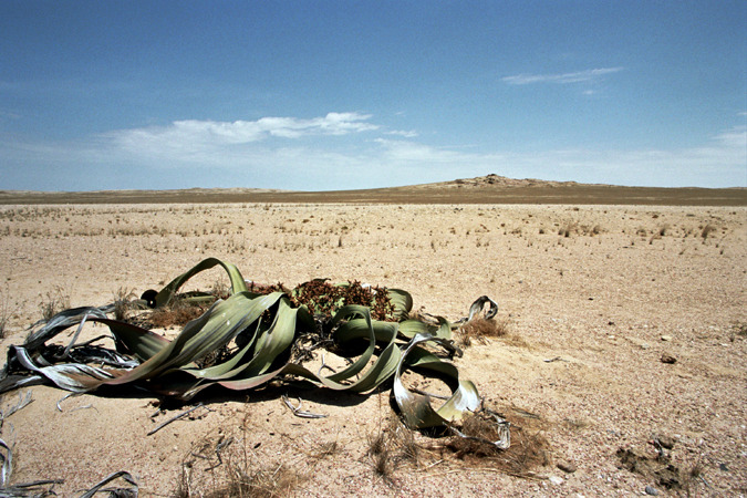
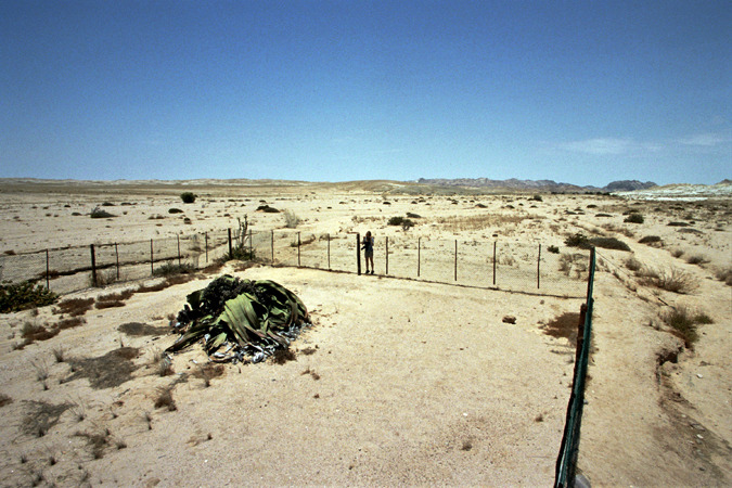
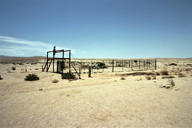
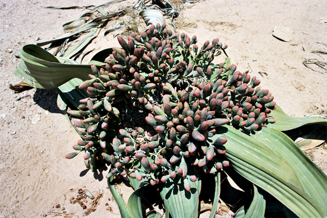
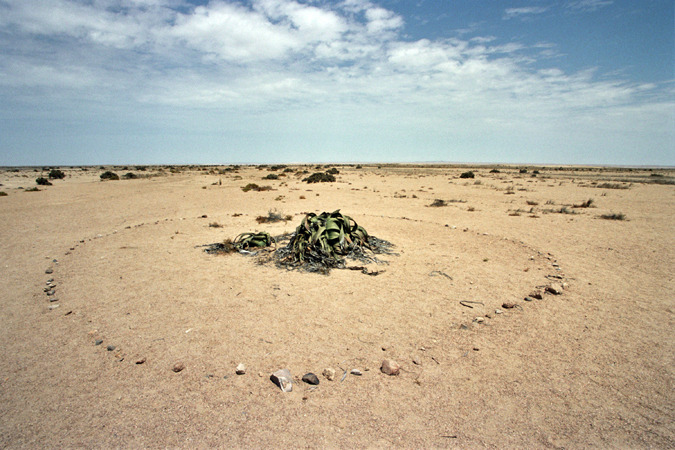
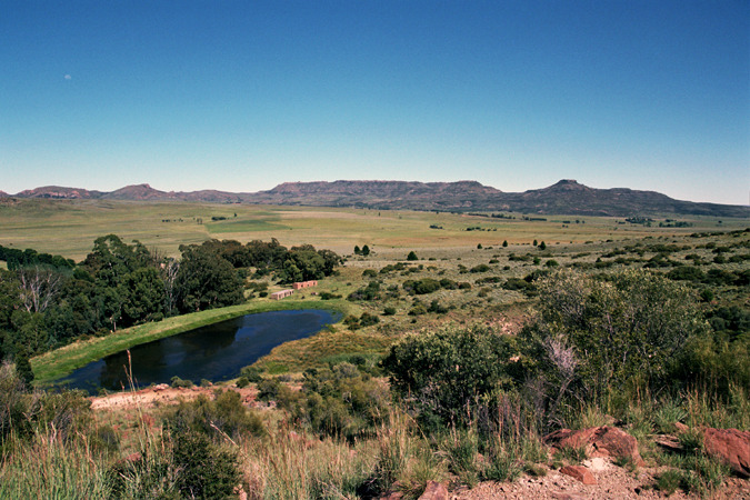
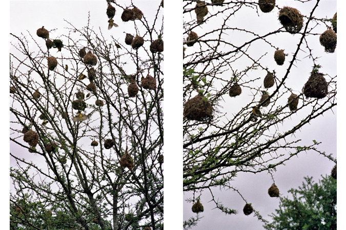
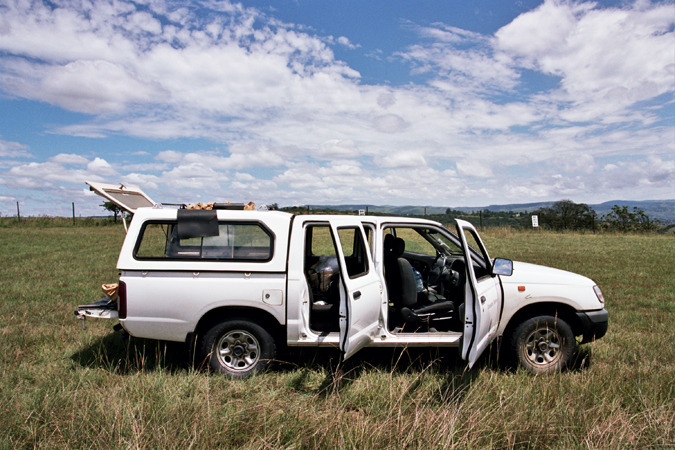
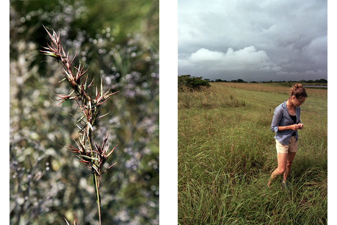
In February I had the opportunity to join Beth in Africa for more field work. Prior to collecting her late season samples in South Africa, we took a trip to Namibia in a camper truck. Some images from this adventure are posted below -- More are posted here, on Beth's website.

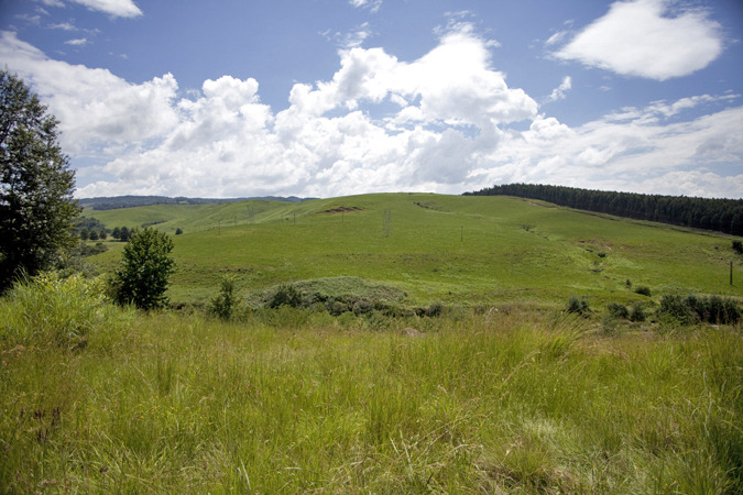
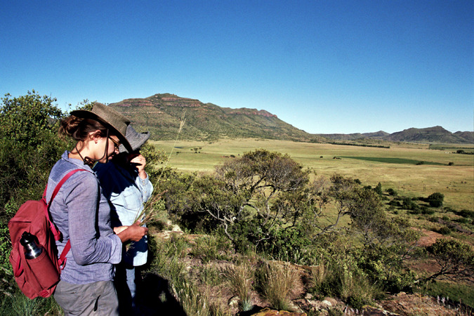
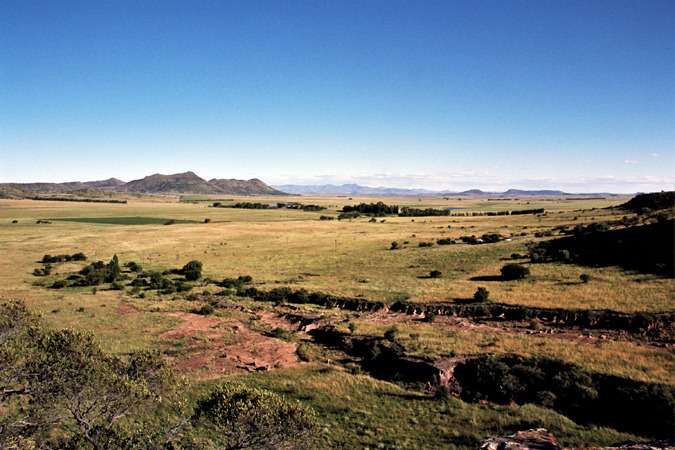
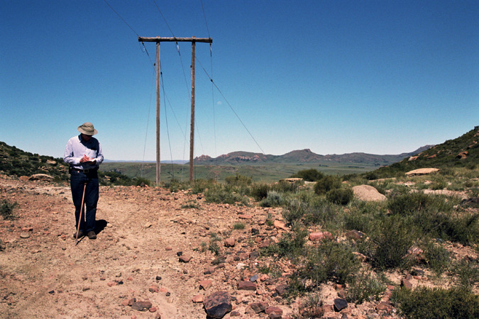
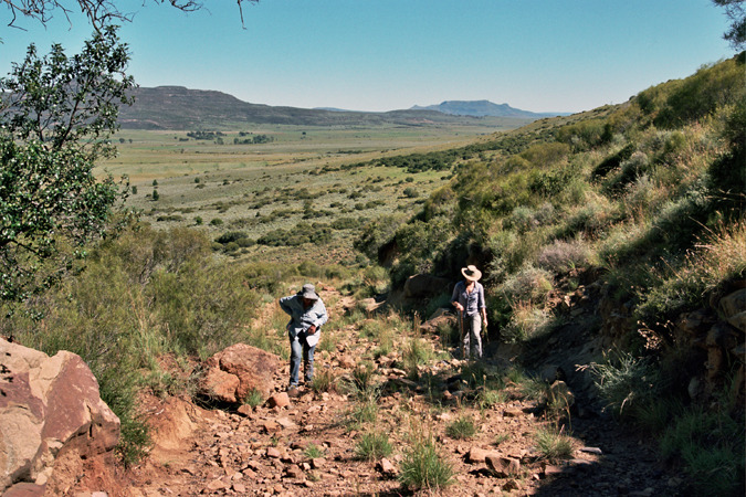
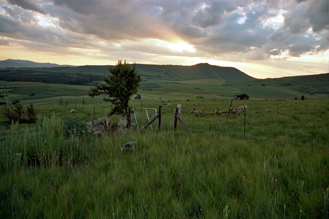
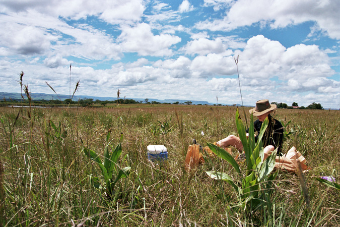
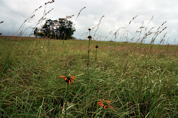
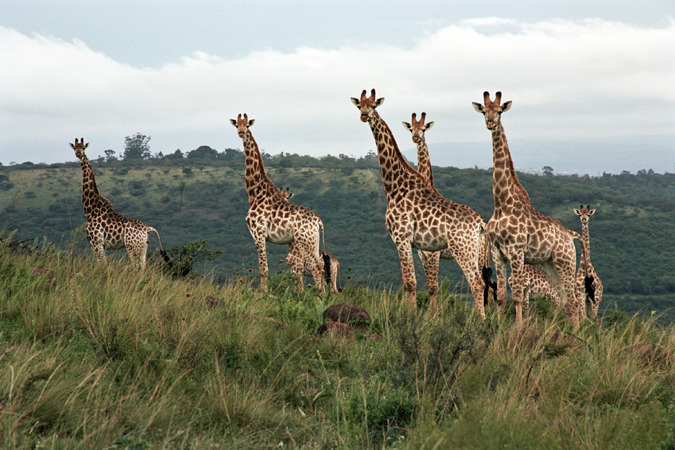
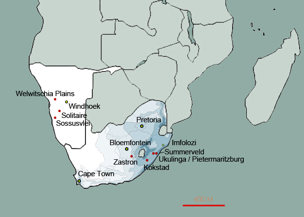
Upon returning to Cape Town, where our road trip began, we flew to Pietermaritzburg where Beth has been living since the beginning of January, working in collaboration with the grasslands department at the University of KwaZulu-Natal. As in North America, Beth's South African sites are distributed from east to west following the annual precipitation gradient. However, the overall distance between her wettest and driest SA sites is relatively condensed - maybe the width of Texas. While visiting, I assisted Beth with four sites at the eastern (wet) end of her transect and as I post this, she is in the process of collecting data from the remaining six sites with help from a variety of collaborators. Beth's current return ticket is on my birthday next month and, needless to say, New Haven has been lonely without her.

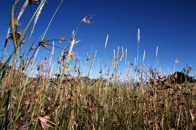
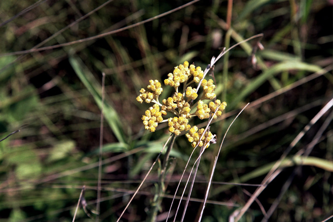
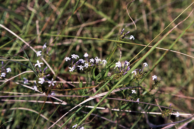
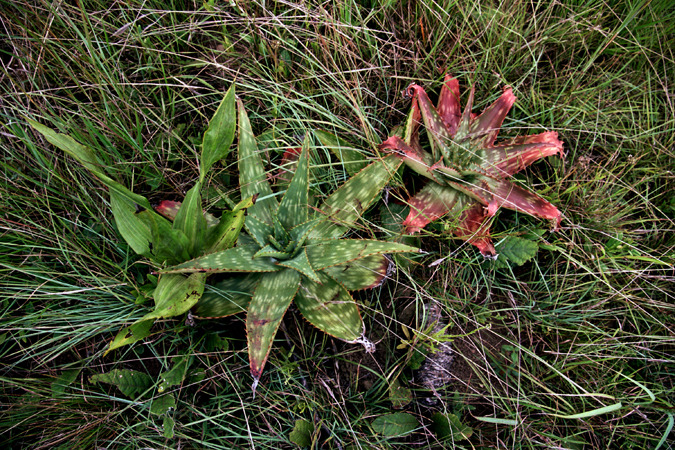
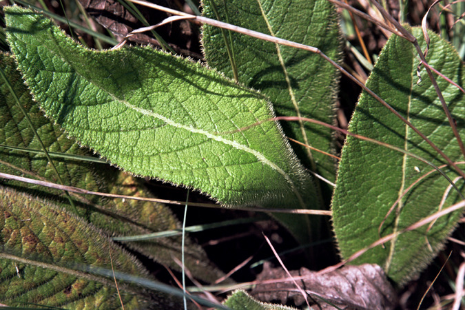
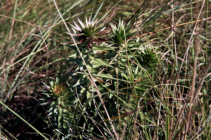
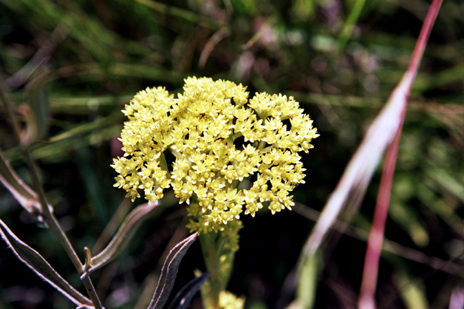
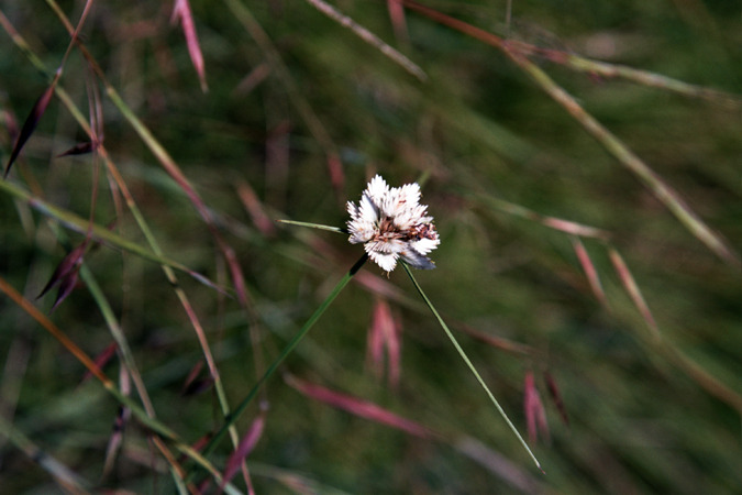
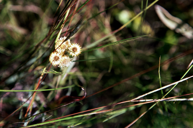
Being a layperson with zero background in ecology or evolutionary biology, it takes me some time to visualize what Beth intends to reveal through her dissertation. This is especially annoying for her to observe in person and I have embarrassed myself on many occasions trying to explain or simplify Beth's work to others in my position. I am now comfortable making the textbook observation that there is significantly more biodiversity in the grassland communities of South Africa than North America. This is perhaps caused by, among other things, an evolutionary timeline that is uninterrupted by glaciation. I was most excited to see the great variety of dominant grass species and forbs at the wettest or most "mesic" of these sites: where all the different players can really have at it, given the ideal growing conditions and abundant resources. However, I have also come to understand that wet conditions are the same as dry in terms of diversity drivers, a point that I find really fascinating. Maybe the in-between sites are the most boring? T.B.D.

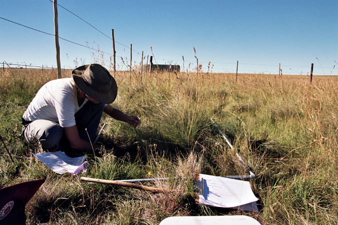
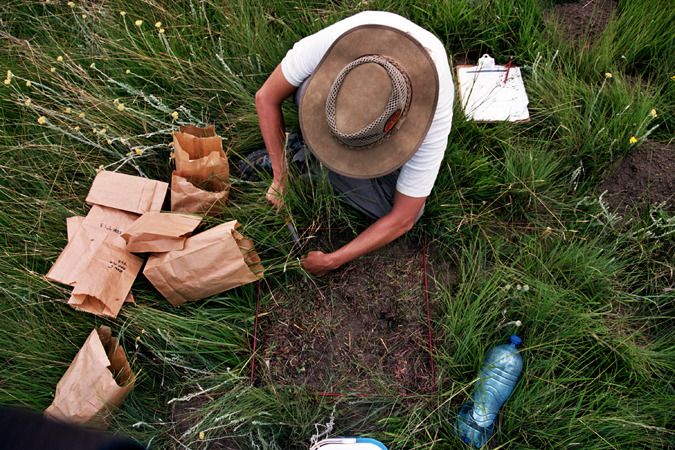
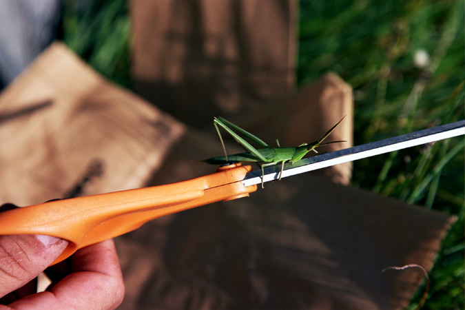
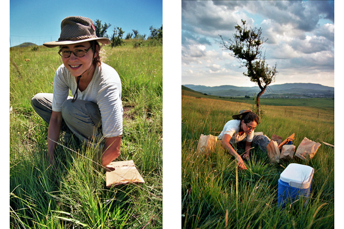
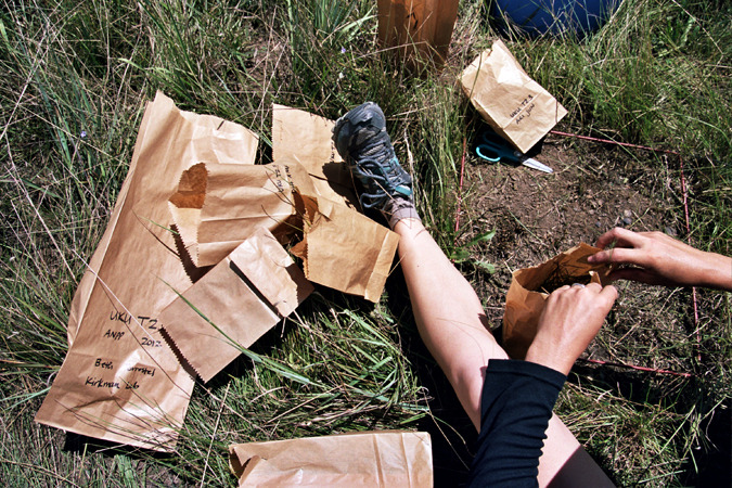
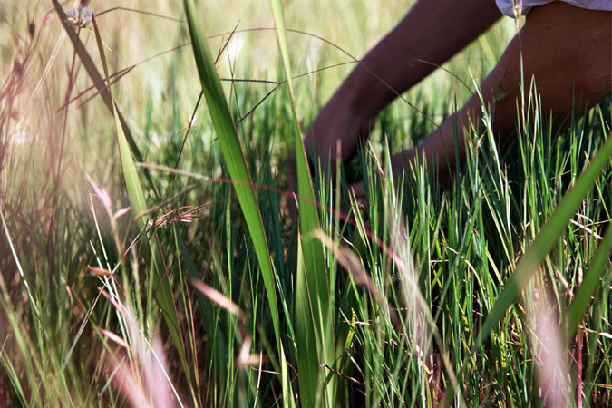
What this means for me, as an almost useful field assistant, is that the differences between dominant grass species are much more subtle and difficult to spot in SA; for each plant that I clipped I sort of mumbled the specimen's name -- generally a bastardized version that is easier to remember -- and waited for Beth to confirm or guide my clippings to the proper bag. I do have some redeeming qualities including: running the stopwatch, digging soil cores, reading aloud in vehicles without radios and making sure that we are back on the road before dark to avoid hitting pedestrians, livestock or rural taxis. My first visit to Africa was great and, as always, having the opportunity to see the landscape and social fabric that Beth interacts with while carrying out her very involved field work is extremely rewarding.

The photos below are scanned from 35mm Kodak 160VC film. (discontinued last year)


Solitaire, Namibia

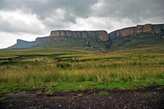
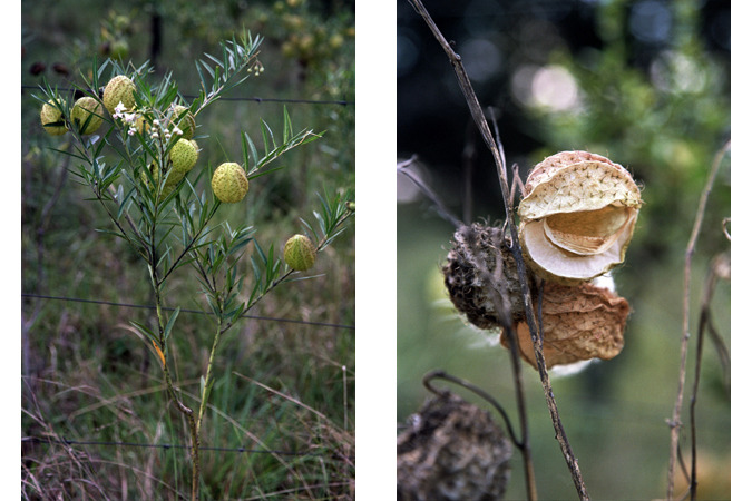
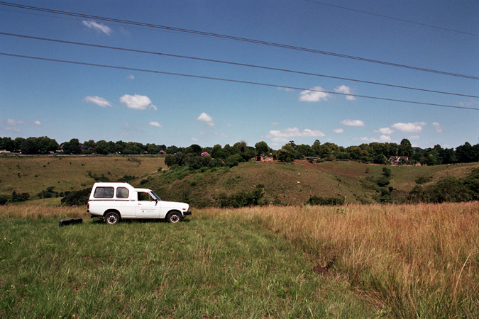
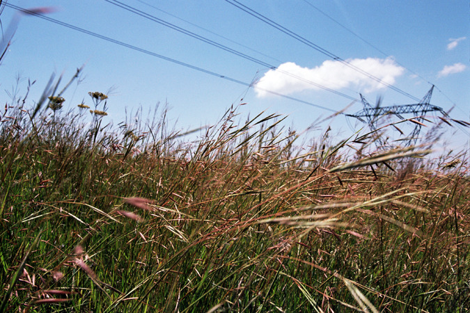
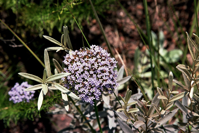
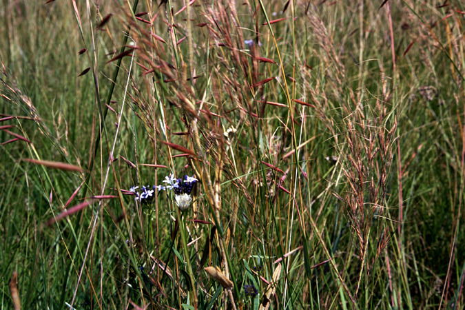
South African Grasslands


Sossusvlei, Namibia


Welwitschia Plains, Namibia


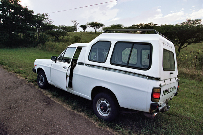
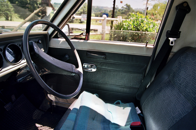
Beth's small truck or "bakkie"


Golden Gate Highlands National Park, S.A.

South African Grasslands


Zastron, South Africa


South African Grasslands

Willhelm and Christine


South African Grasslands

Rooibos and rusk ritual


South African Grasslands

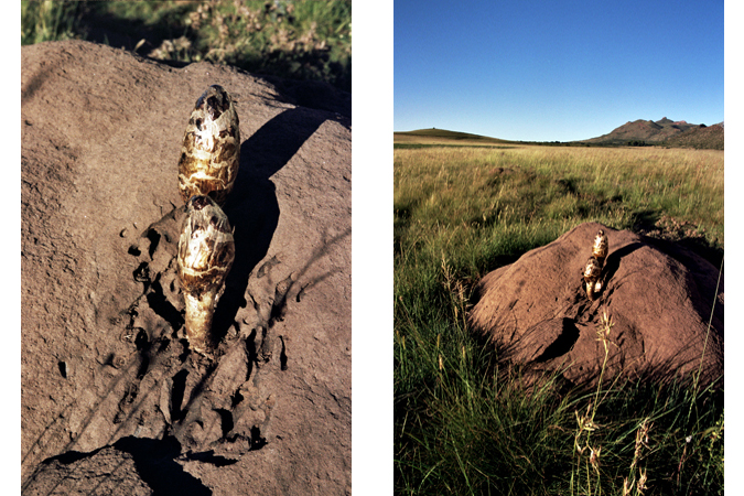
Termite mushrooms


Kokstad, South Africa


Ukulinga Research Farm, South Africa


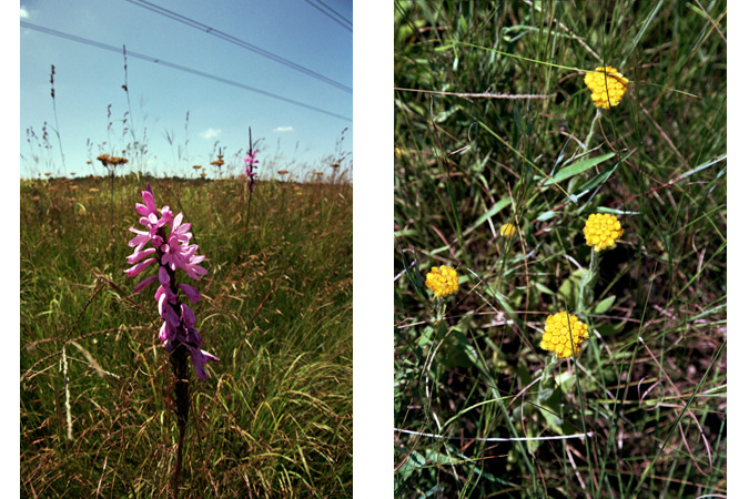
Forbs


Kapok Bush "Old Man's Balls"


Summerveld, South Africa


Forbs


Map of precipitation gradient and sites visited - scaled to match North American map below

South African Grasslands
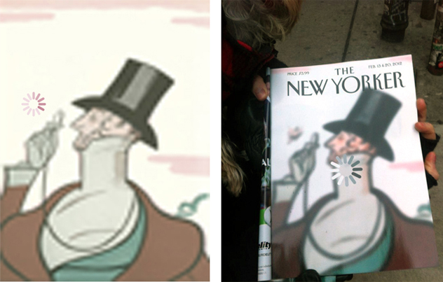
The New Yorker cover, "Loading..."

left: original entry "Loading..." for The New Yorker magazine's annual Eustace Tilley contest; right: the adaptation of the image into the cover of the February 13th & 20th, 2012 anniversary issue.
(photo: Alex Delany)

The original image was modified, with my consent, by Françoise Mouly and presumably others at the magazine to include both The New Yorker title block and the iconic Eustace butterfly-sidekick. Unfortunately, these features must be clearly represented on the cover; the title, date, price, etc. cannot be blurred or pixelated as I had originally desired.

I am thankful to be credited for this collaborative work in a Table of Contents byline happily shared with Rea Irvin: the artist behind the original Eustace Tilley cover from 87 years ago. What's more, It has been extremely satisfying to receive feedback from friends and readers in emails and messages that have been forwarded from the magazine. I find it especially amusing that -- as intended -- many are confused by the delay they experience when attempting to download the weekly magazine on their portable electronic devices - I feel like we punked the tablet world.

The anxiety that comes with waiting or "loading", especially when one finds himself in a perpetual state of hyperspeed after the idea of being on the cover of The New Yorker has totally gone to his head, has been true of this entire experience for me. I have been in Namibia and South Africa since February 2nd with little to no internet connectivity; I impatiently type cryptic messages and web addresses on a mobile phone numeric keypad and squint into its antiquated screen to try and figure out the reception of my cover at home. After two weeks of this, I finally have fluid internet in Pietermaritzburg and am very excited by what I see, especially what people speculate about "a landscape historian from Connecticut" given the lack of information that is out there about "Brett Culbert" and "landscape historians" (not the actor from Kansas who shares my namesake and yields more google results for his cameo in a Vampire Diaries parody... though he got stuck with .net so I will leave it at that).

Regrettably, my delayed responses to interview questions for the magazine's blog post regarding the cover have not helped this process of deciphering. This lack of information has only emphasized the anxiety (on my end) surrounding cyber quickness and connectivity as well as the last minute deadlines and shifty spotlights that now fully plague the visual arts and journalism in the digital age. This is perhaps the spirit that I sought to capture in my original design and it has been interesting to watch the cover image play-out in real time. Overall, I am thankful for the exposure and can only hope for more opportunities like this from The New Yorker or other media outlets looking for armchair graphic design from a member of generation Y -- what Wikipedia calls an "Echo Boomer".

There are two posts that I particularly like: "New Yorker tricks readers with clever cover" by Maura Judkis's at the The Washington Post and "New Yorker Gets an Internet-Age Cover, and a Picasso Satire Suggestion" by Chloe Wyma's at some blog called "artinfo" (although I don't think my involvement in this process is as revolutionary as Norman Rockwell's extensive contributions to The Saturday Evening Post - but thank you.)

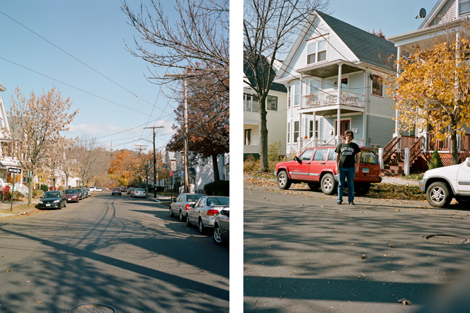
11/11/11 - 11:11:11

Just an ordinary day in New Haven
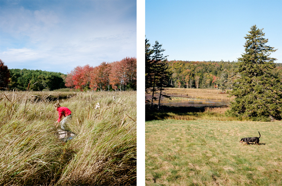
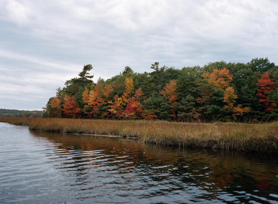
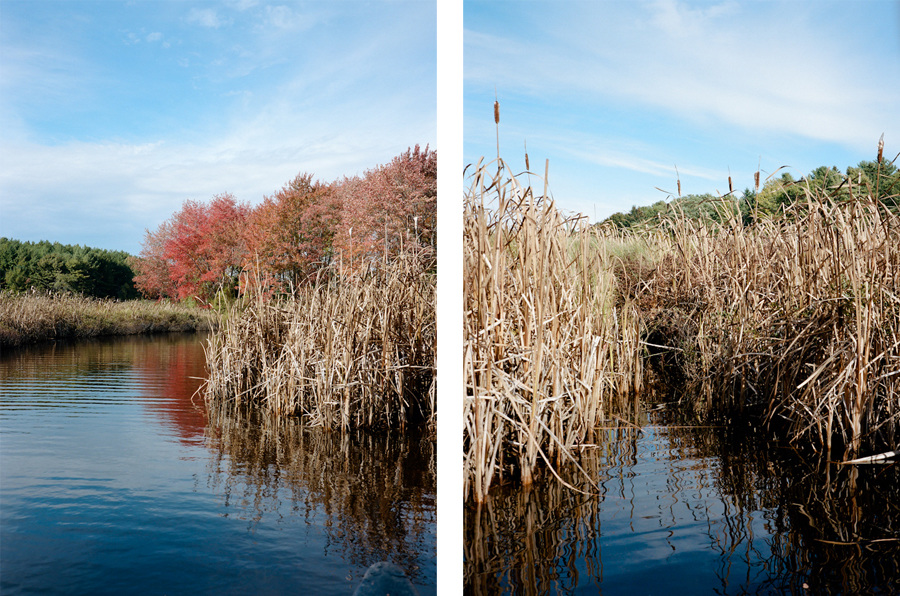
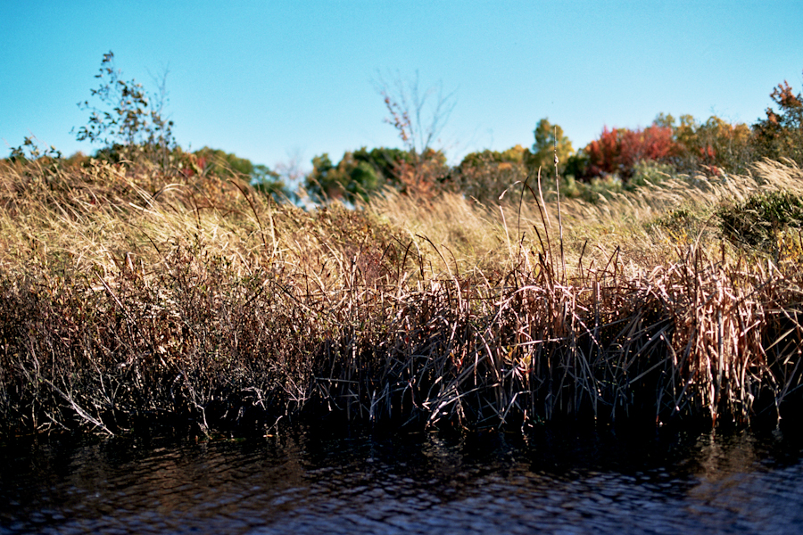
Mount Desert Island, Maine

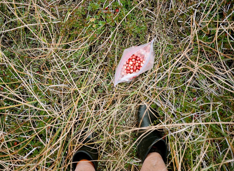
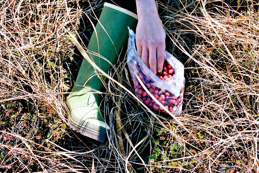
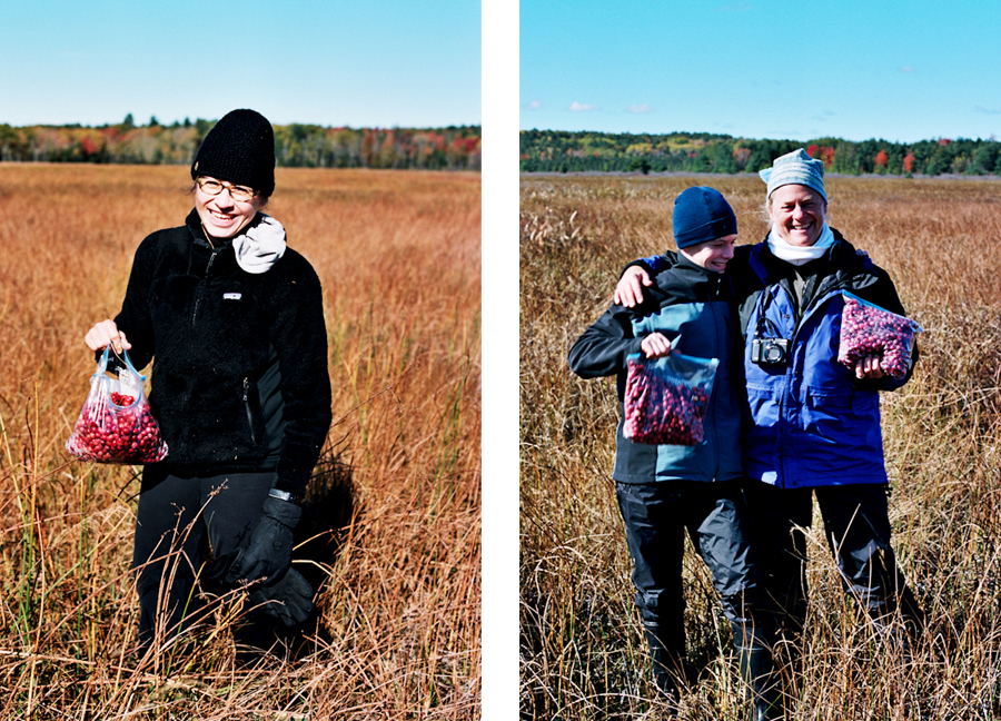
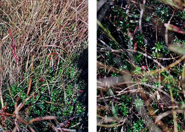
Cranberries


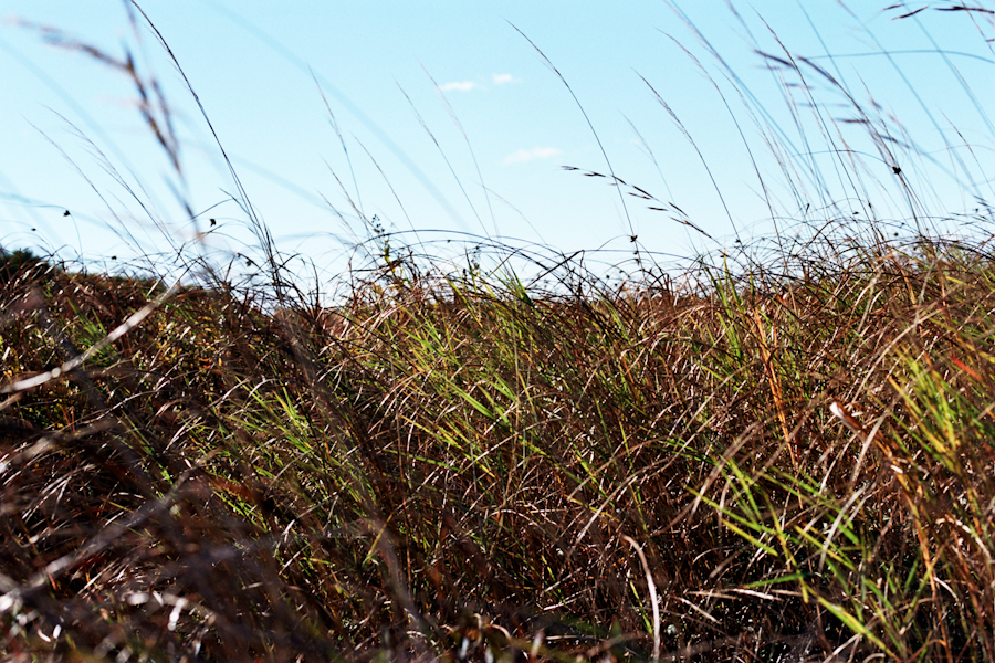
Mount Desert Island, Maine


Mount Desert Island, Maine
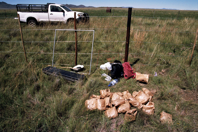
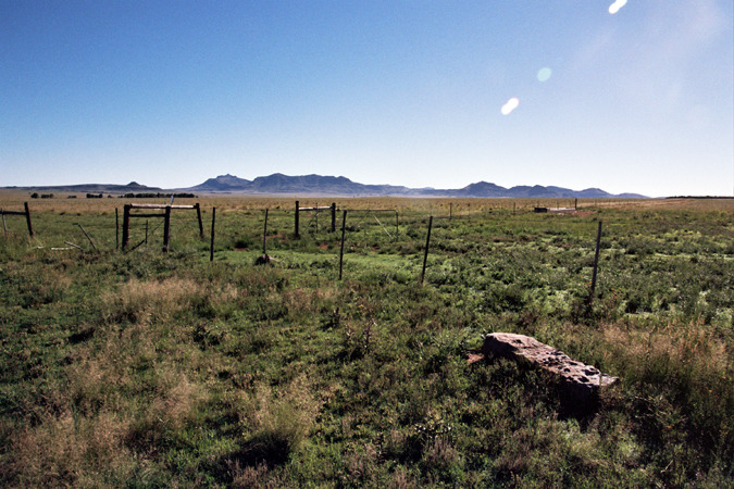
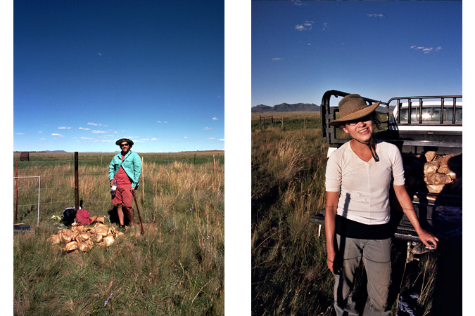
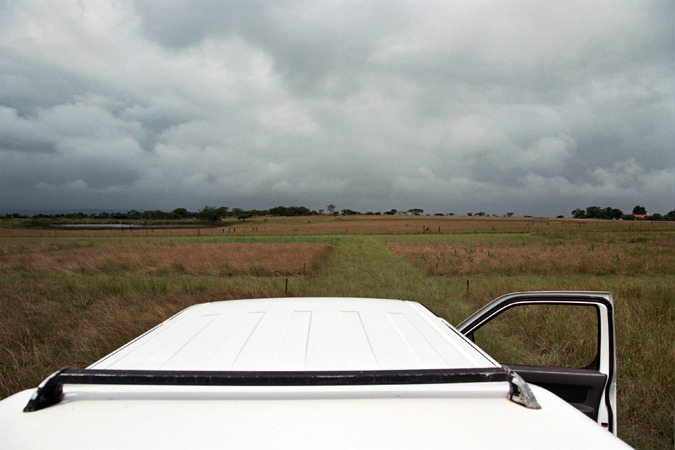
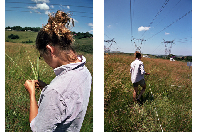
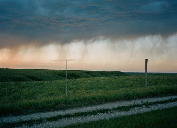
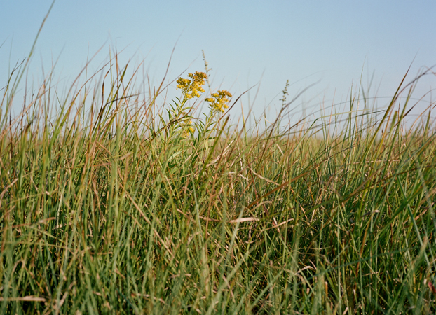
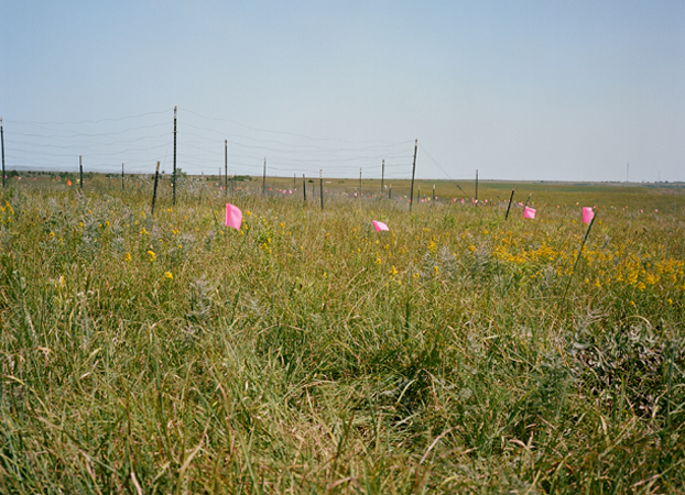
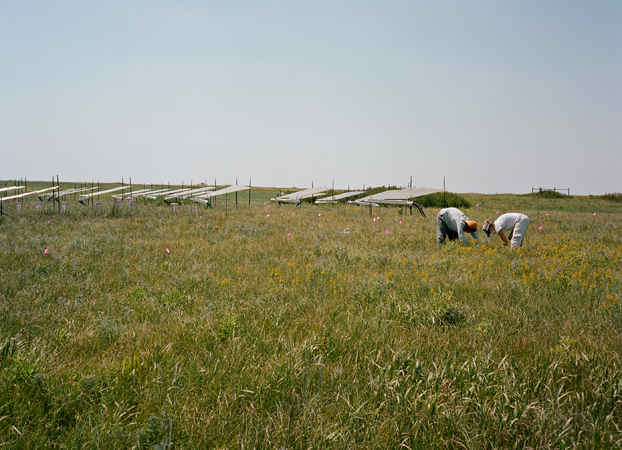
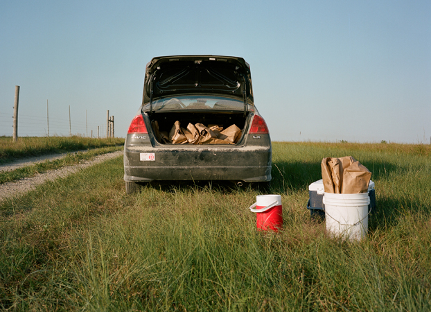
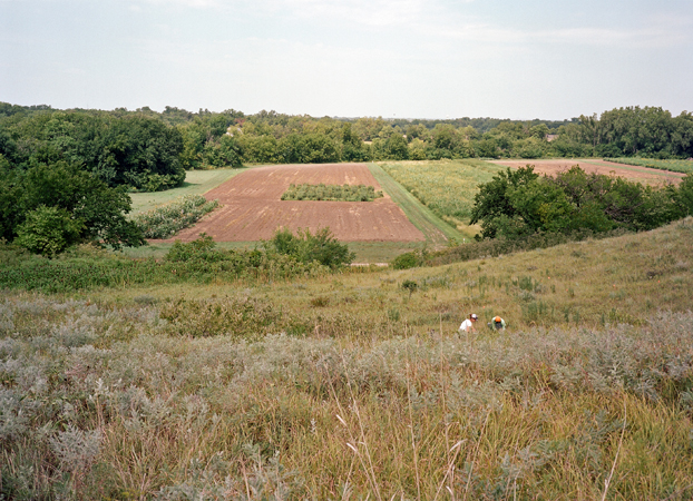
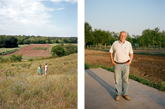
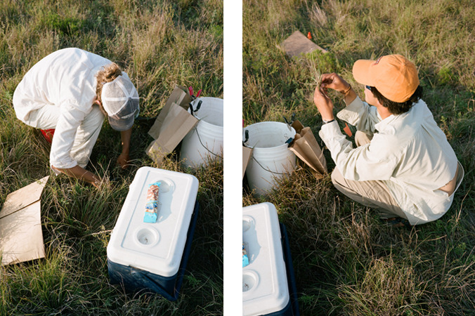
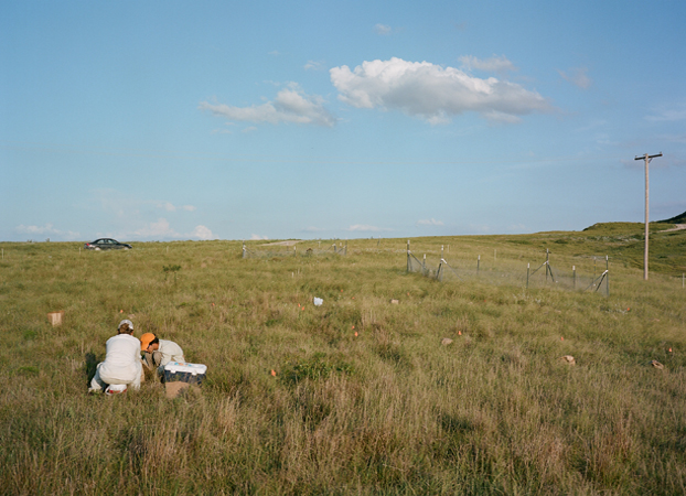
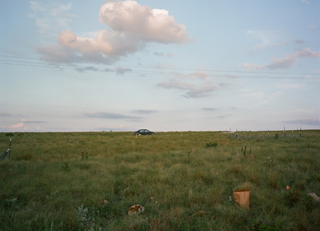
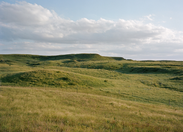
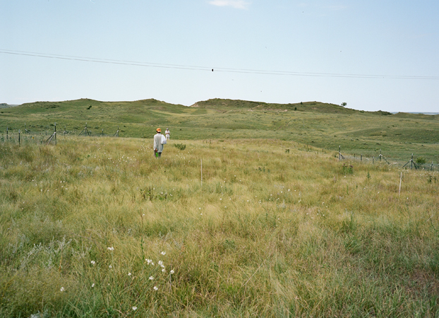
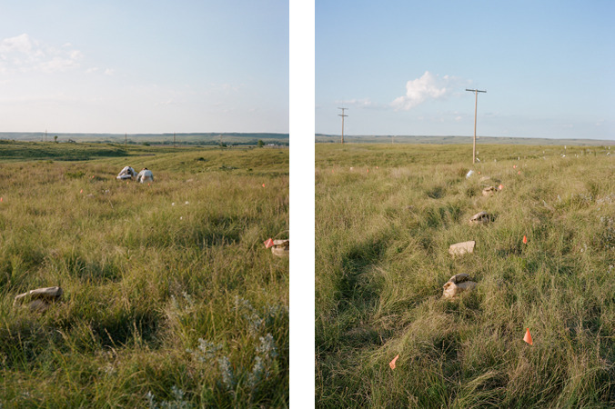
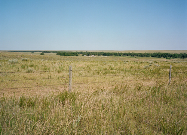
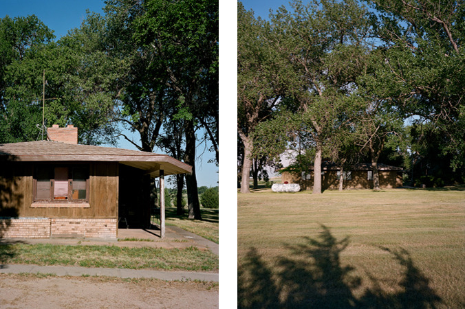
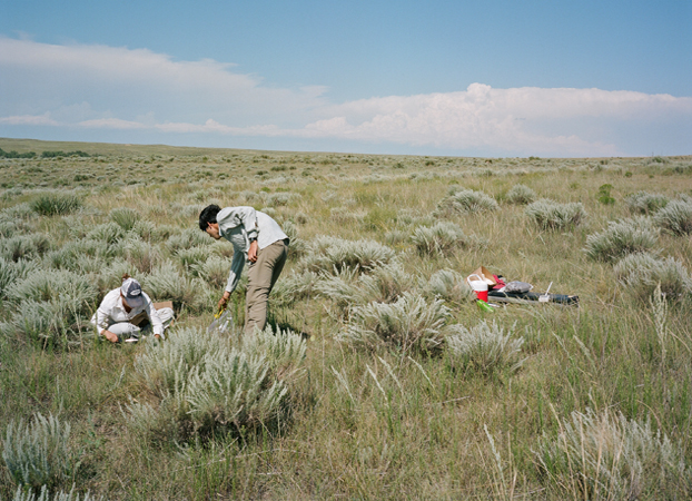
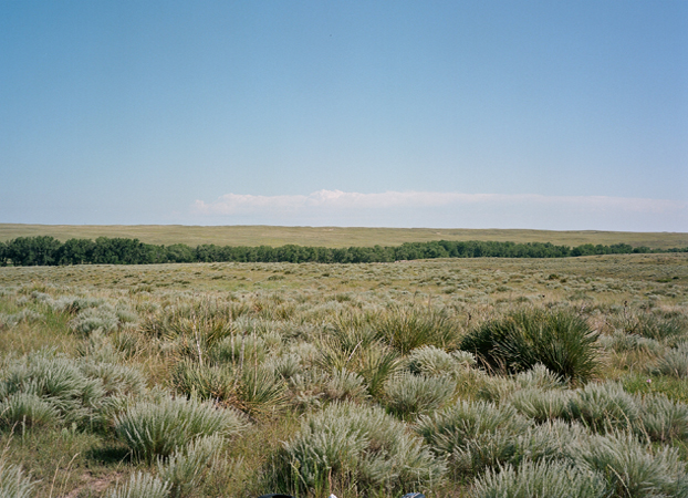
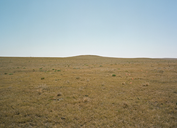
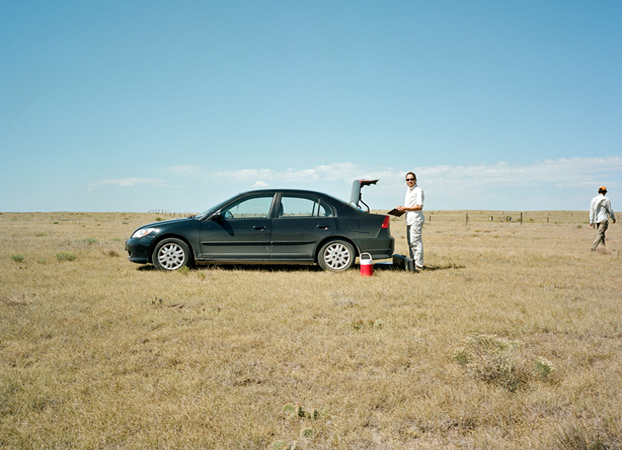
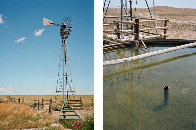
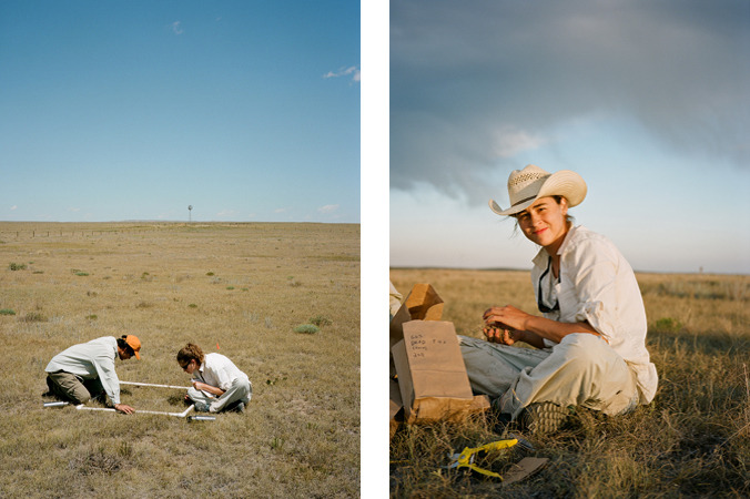
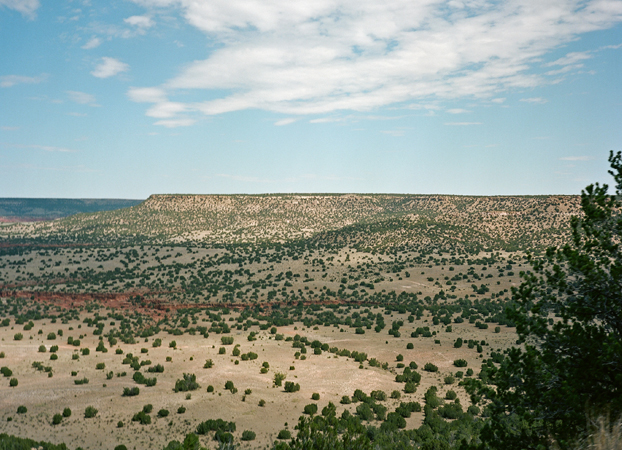
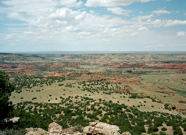
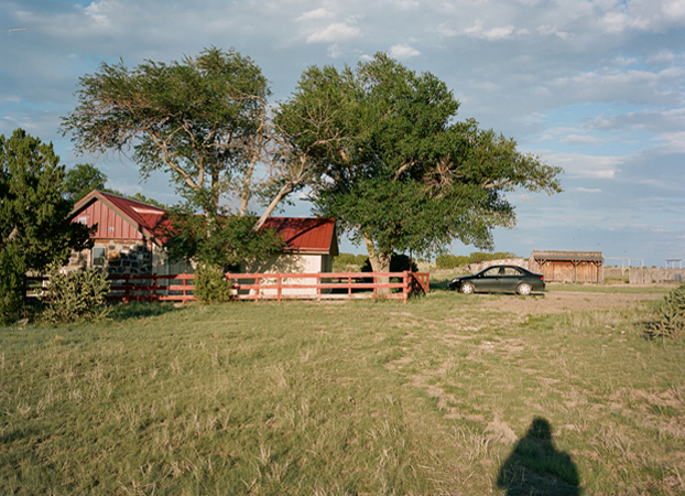
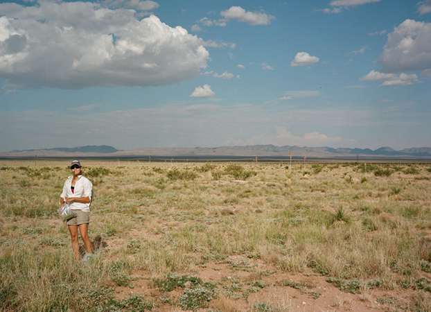
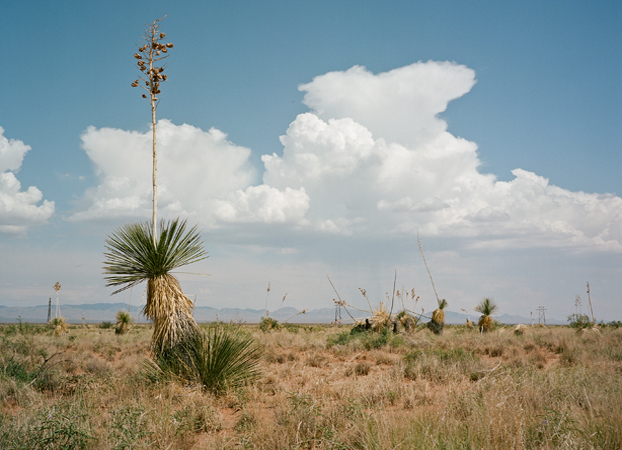
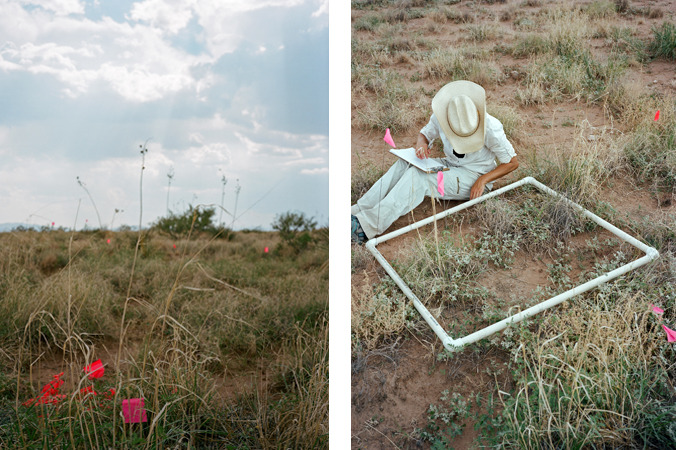
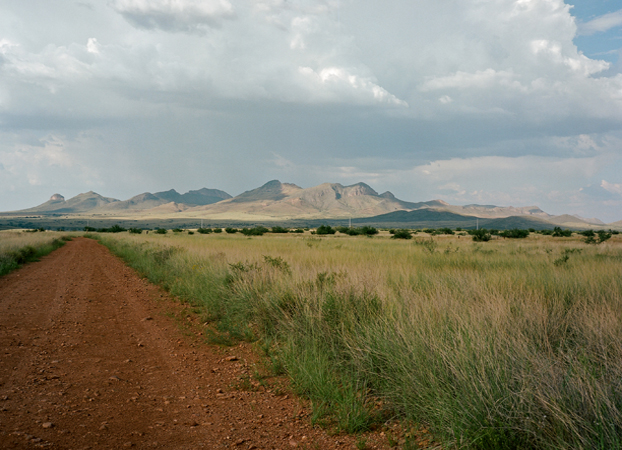
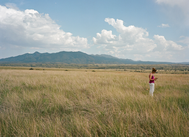
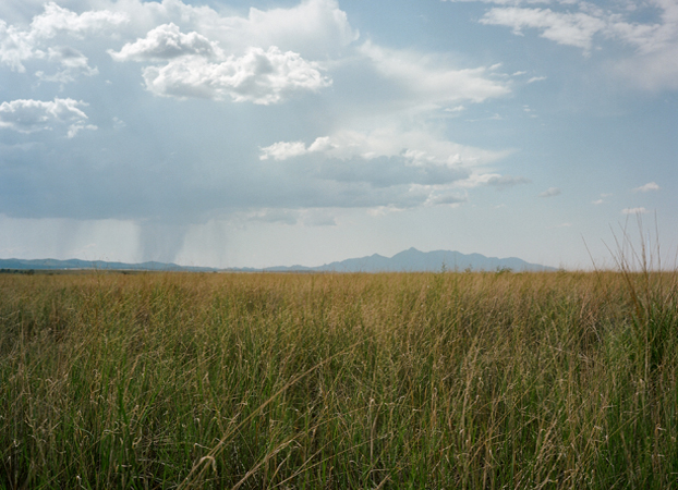
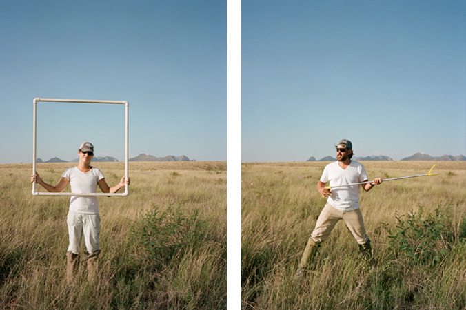
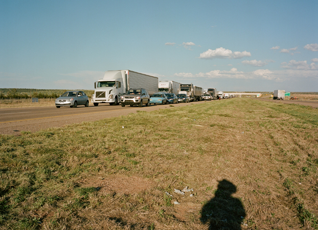
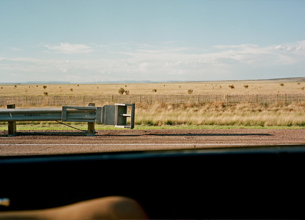
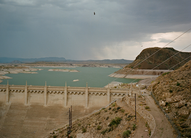
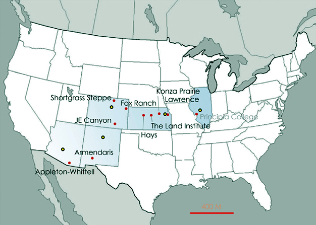
In August of 2011, I traveled with my wife Beth Forrestel and her assistant Arjun Potter to photograph their late-season field work along Beth's North American grassland transect. While we were primarily stationed near Manhattan, KS., at the Konza Prairie Long-Term Ecological Research station, we followed the summer rain into the field to measure the resultant composition of dominant grass species as well as a variety of site characteristics at points along a precipitation gradient. I was able to join Beth for nine of her ten sites.

The images of our time together follow, from east to west:


Lawrence, Kansas


Konza Prairie, Manhattan, Kansas


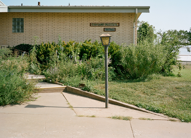
The Land Institute, Salina, Kansas


Hays, Kansas


Fox Ranch, Yuma County, Colorado


Shortgrass Steppe, Nunn, Colorado


JE Canyon Ranch, Branson, Colorado
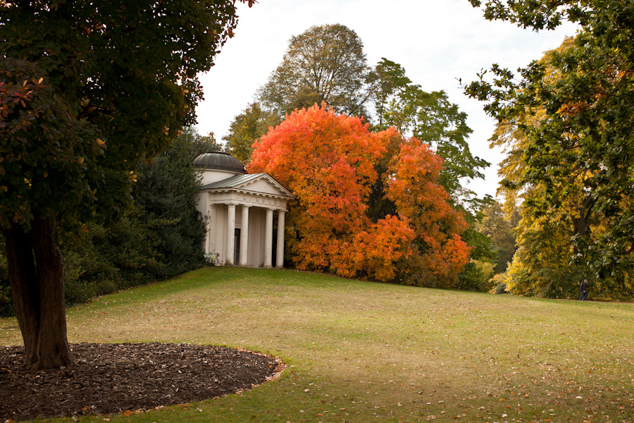


Armendaris Ranch, Truth or Consequences, New Mexico


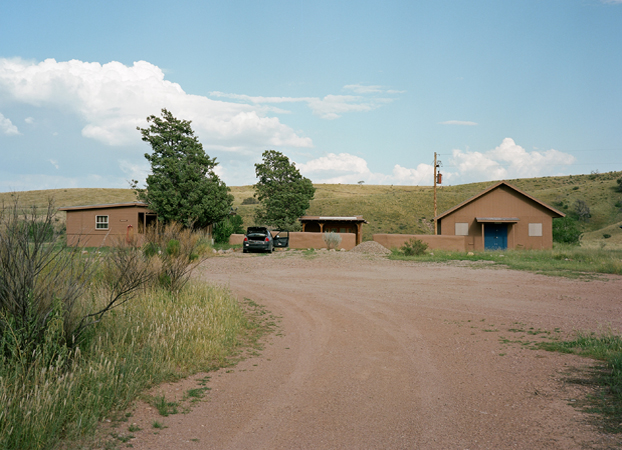
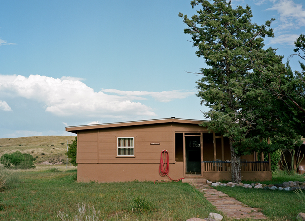
Appleton-Whittell Research Ranch, Elgin, Arizona


In-between


North American Transect Map

North American Grasslands
Cazes, Amanda and Finley

New Haven, Connecticut

California 2008


California 2008


California 2008


California 2008
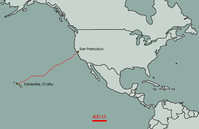
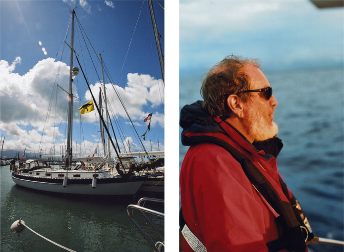
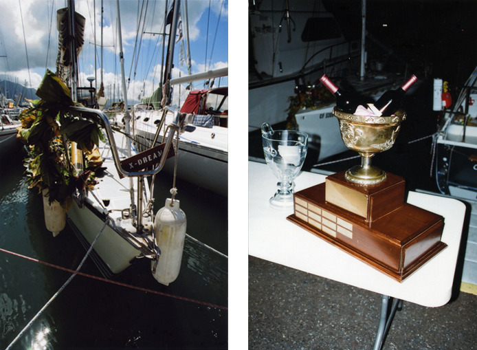
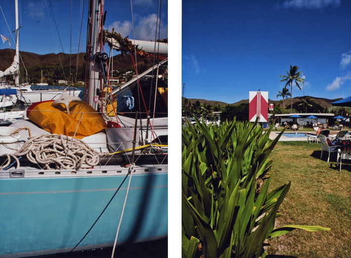
On July 14th 2008, after months of practice and boat preparation, I joined Bob Hinden on board his Valiant 42 "Acacia" with four other crew members for a leisurely race to Hawaii. The Pacific Cup -- held on even years and not to be confused with the more competitive Transpac Yacht Race - held odd years from L.A. to Honolulu -- is a divsional Double Handed, Crewed and Multihull race from the St. Francis Yacht Club in San Francisco to the Kaneohe Yacht Club on the east side of O'ahu, HI.

I met Bob through his daughter Rebecca, a fellow crew member and close friend from Providence. Becca studied photography at R.I.S.D. with my high school friend Alex Delany. After reconnecting in S.F., Becca soon became my mentor and roommate; she taught me everything I know about making color photographs, riding/fixing motorcycles and living life to the fullest in the Bay Area. Before Beth and I left for the East Coast in 2009, Becca made beautiful photographs of our wedding. Though her plans to sail around the world with her father are currently on hold, Becca continues to sail and race in the bay on smaller boats - I am envious.

Acacia finished 8th (last) in our division of the Pac Cup: 52nd out of the 68 boats that sailed to Hawaii - not great but it was fun, we tried hard and everyone got along and made it to the finish line. Our time was: 14 days, 5:05:20 from start to finish. Our only major mishap, aside from not heading south and catching the tradewinds sooner, was getting the keel tangled on a crab pot on day two. Chris, the bravest and most experienced crew member, relieved us of this obstacle by diving under the boat and untangling the keel somewhere south of the Farallones.

Below is a map of our course based on periodic readings from a GPS transponder. The photos of Hawaii that follow were made with Kodak 160VC 35mm film:

Acacia's Course:

2008 Pacific Cup, San Francisco to Hawaii


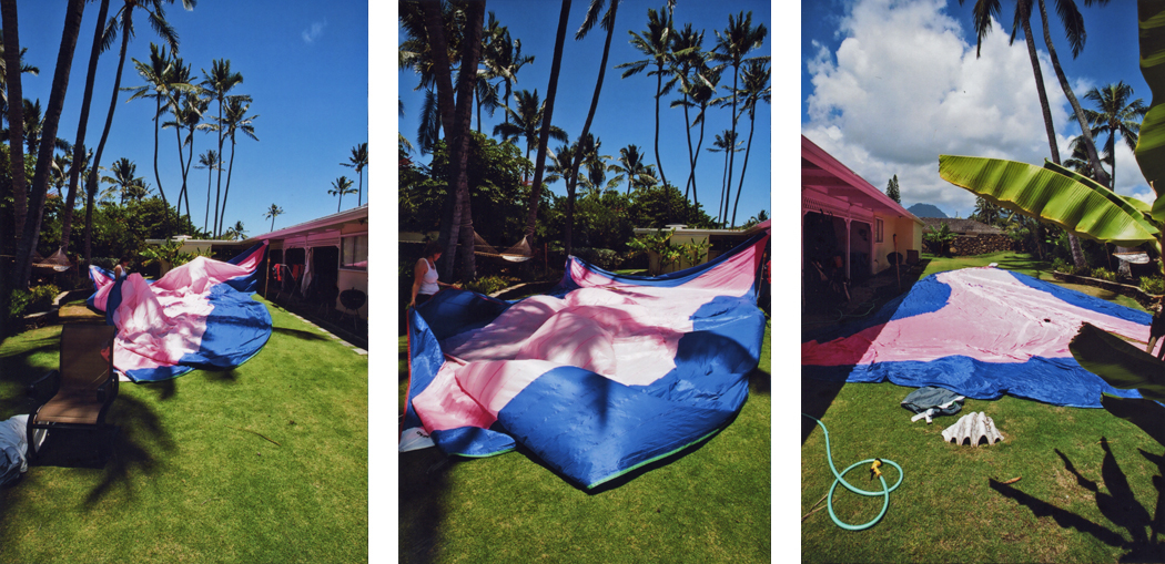
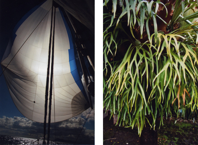
Rebecca Hinden washing and drying the hardest working spinnaker - "Big Pink"

2008 Pacific Cup, San Francisco to Hawaii


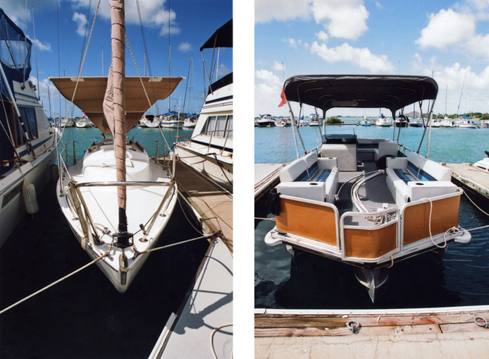
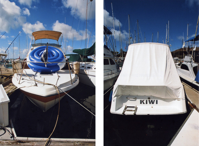
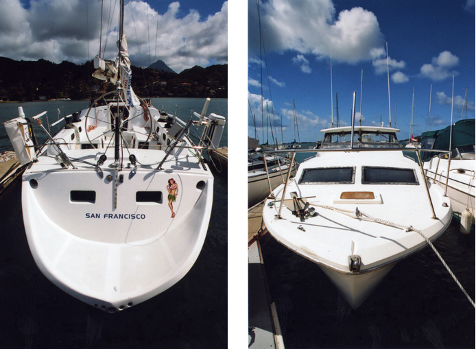
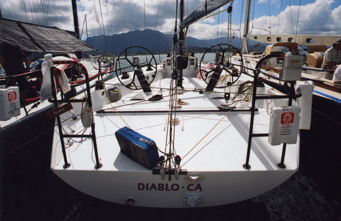
Boats at Kaneohe Yacht Club


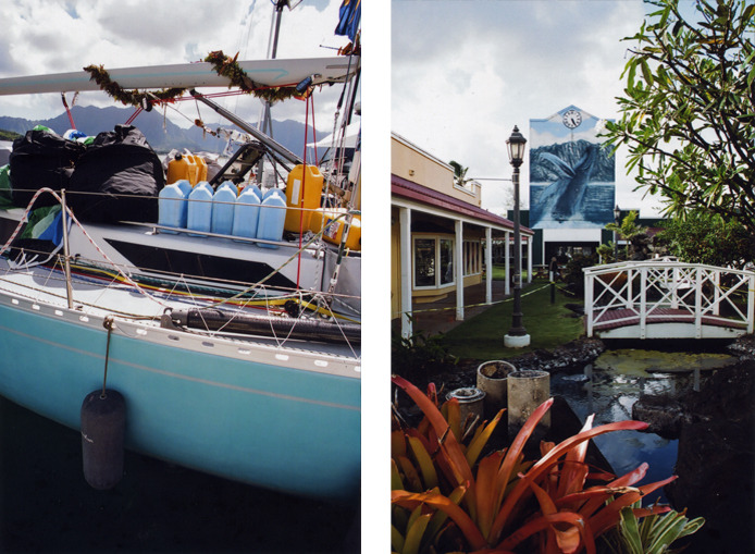
Around O'ahu


Honolulu Botanical Gardens


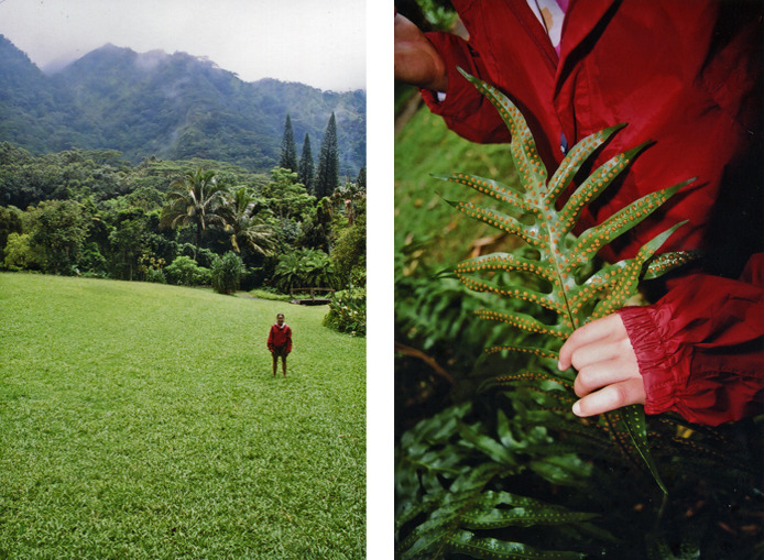
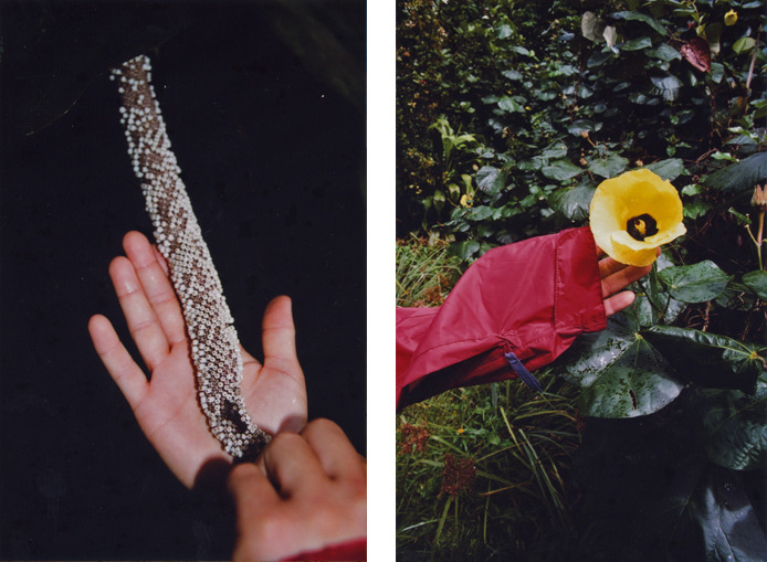
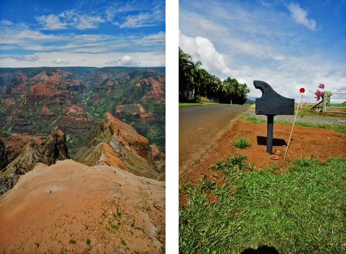
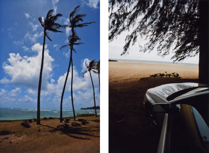
After the race, Beth joined us in O'ahu and the two of us traveled on to Kauai to hike the Na Pali Coast:


2008 Pacific Cup, San Francisco to Hawaii


2008 Pacific Cup, San Francisco to Hawaii


2008 Pacific Cup, San Francisco to Hawaii